FIELD OPERATIONS
Our scientific process is peerless, but importantly, our field execution matches it
Greenland is a complicated operational environment that demands adaptability to achieve success. While Greenfields goes through exhaustive, documented pre-field analysis and planning, we rapidly pivot based on new information.
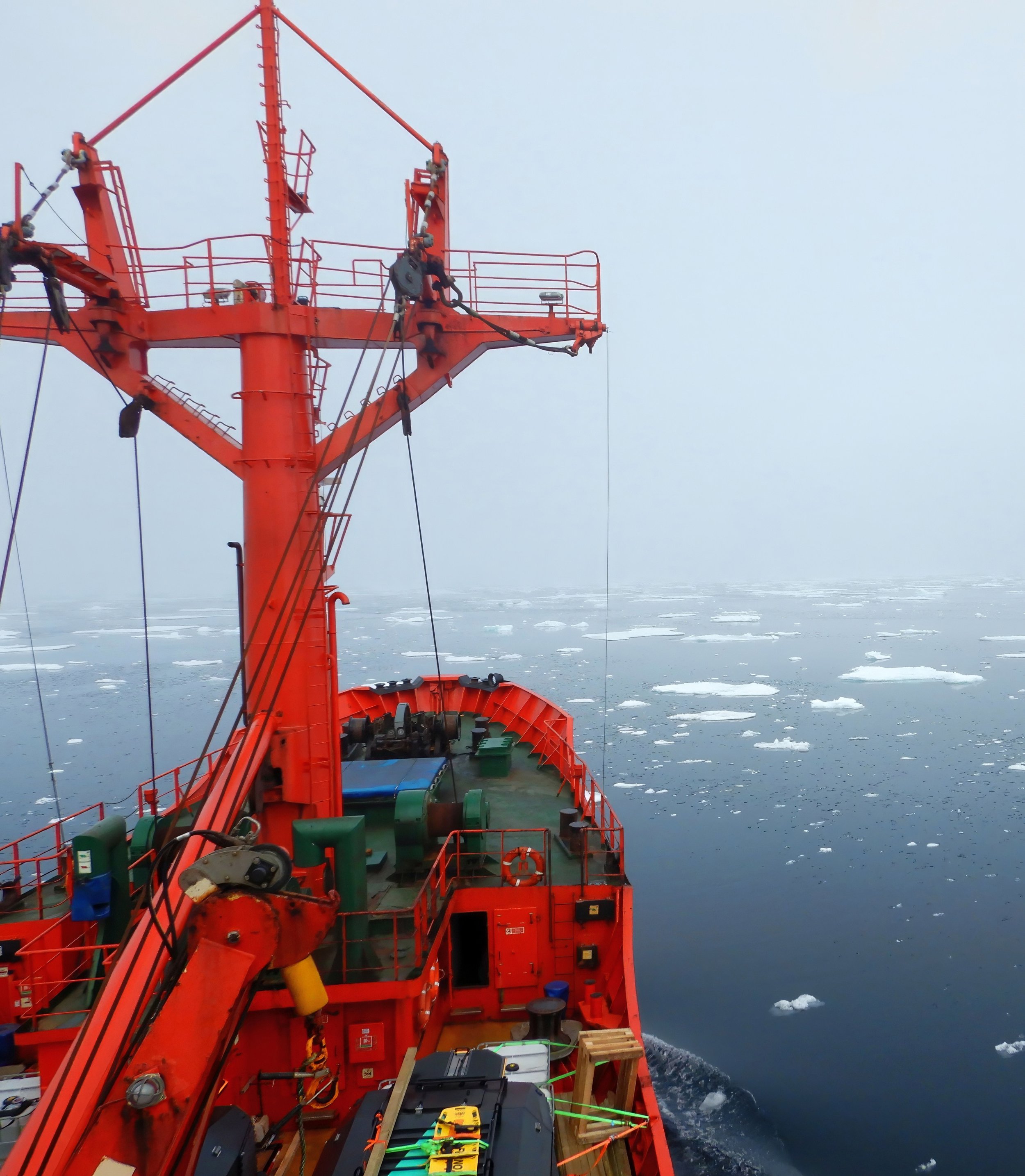
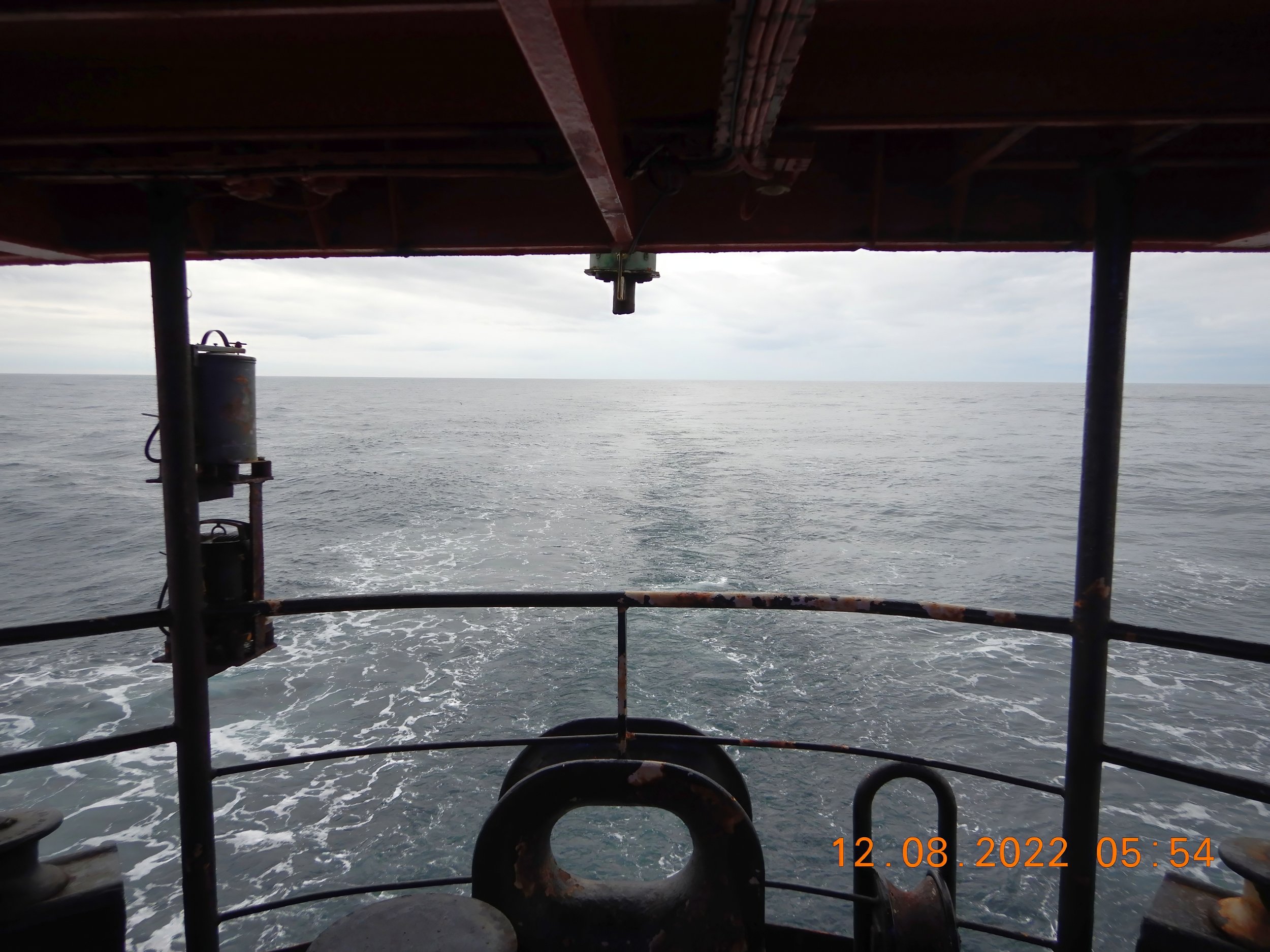
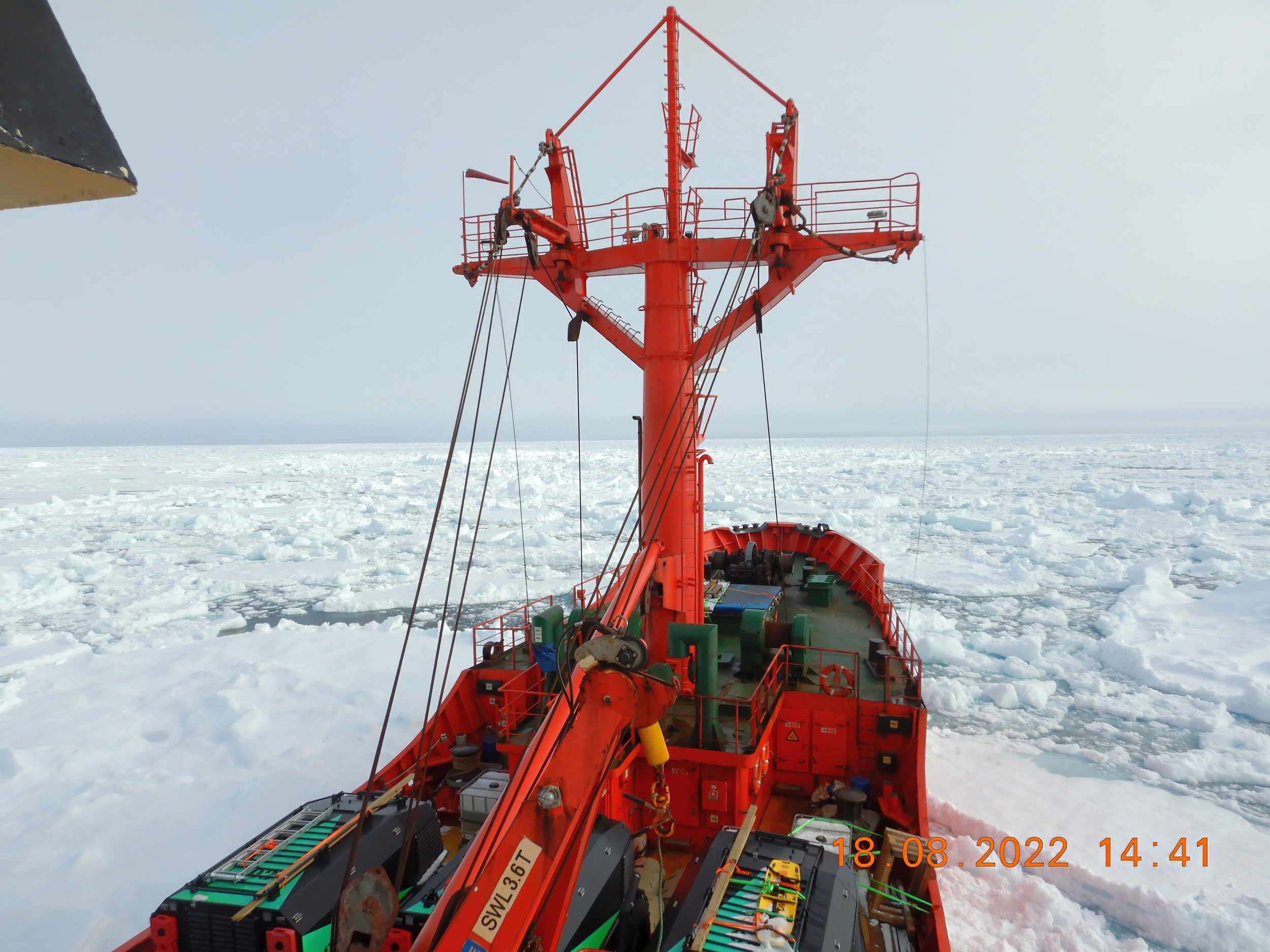
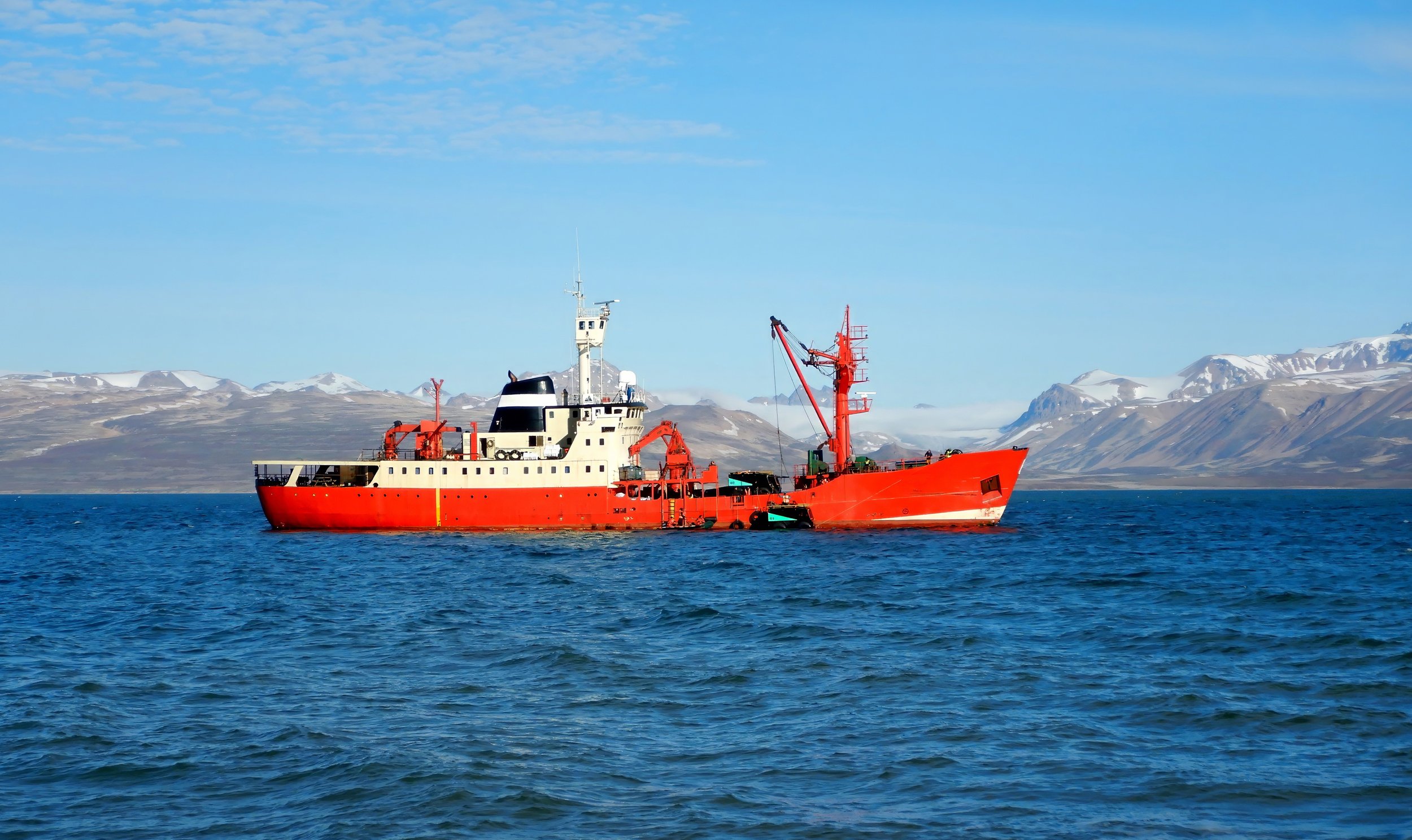
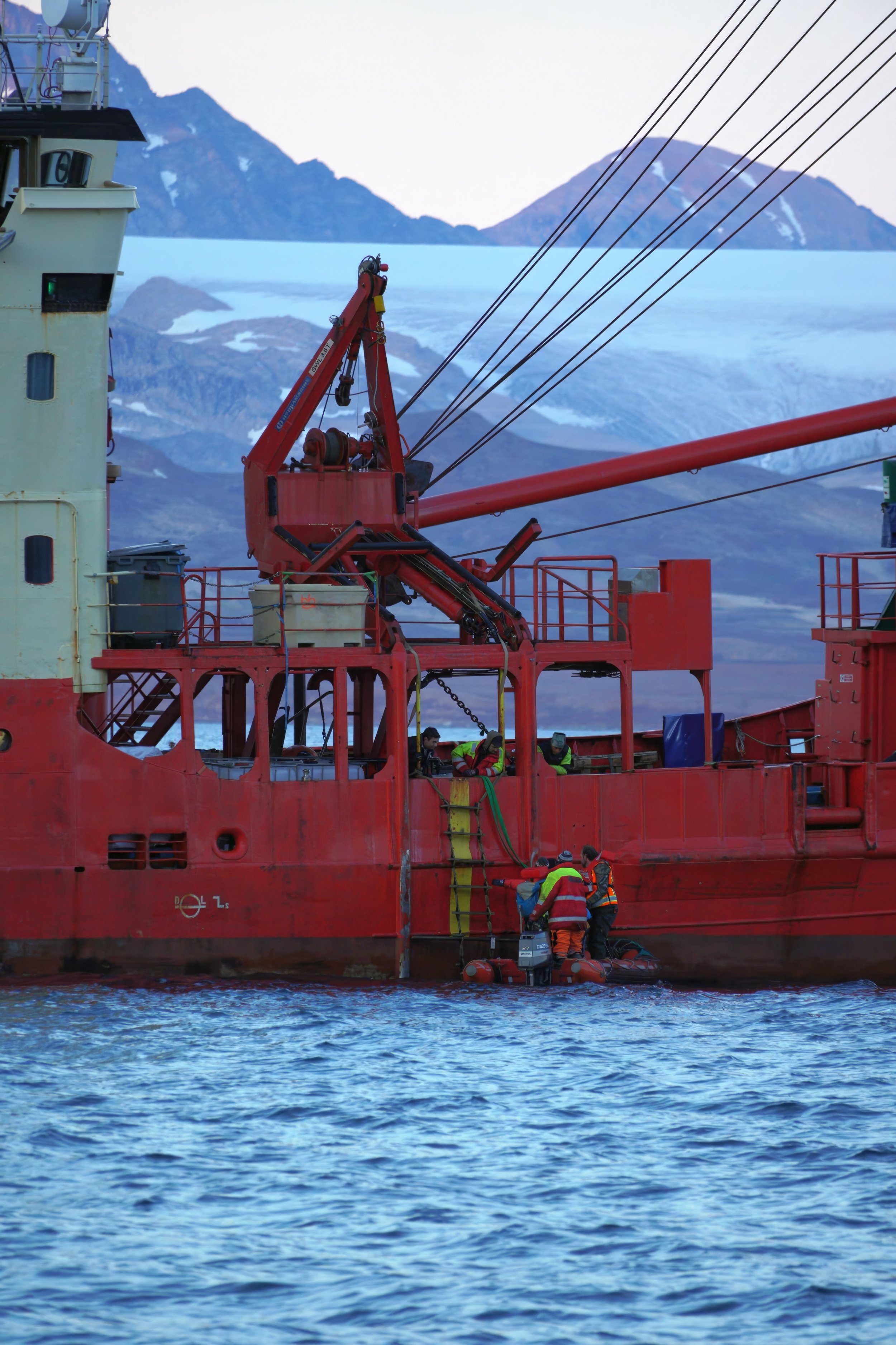
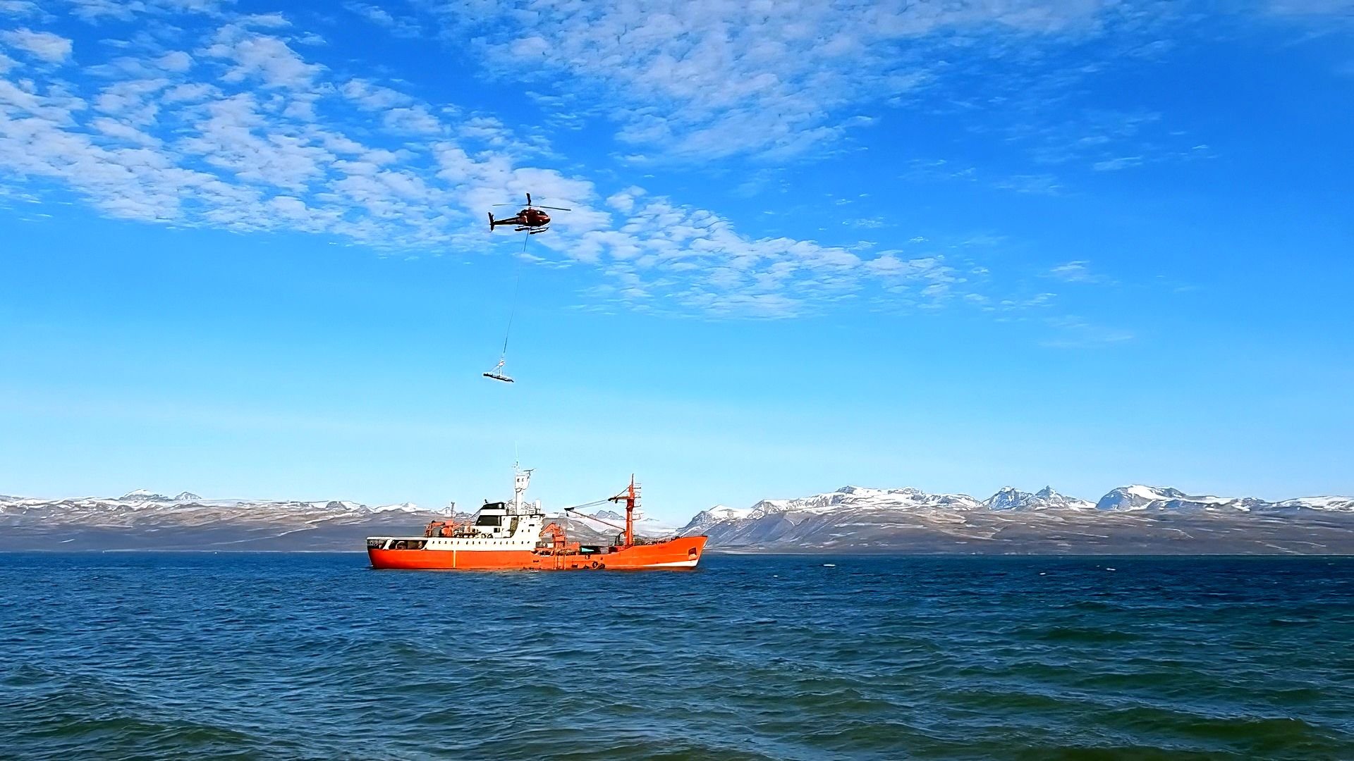
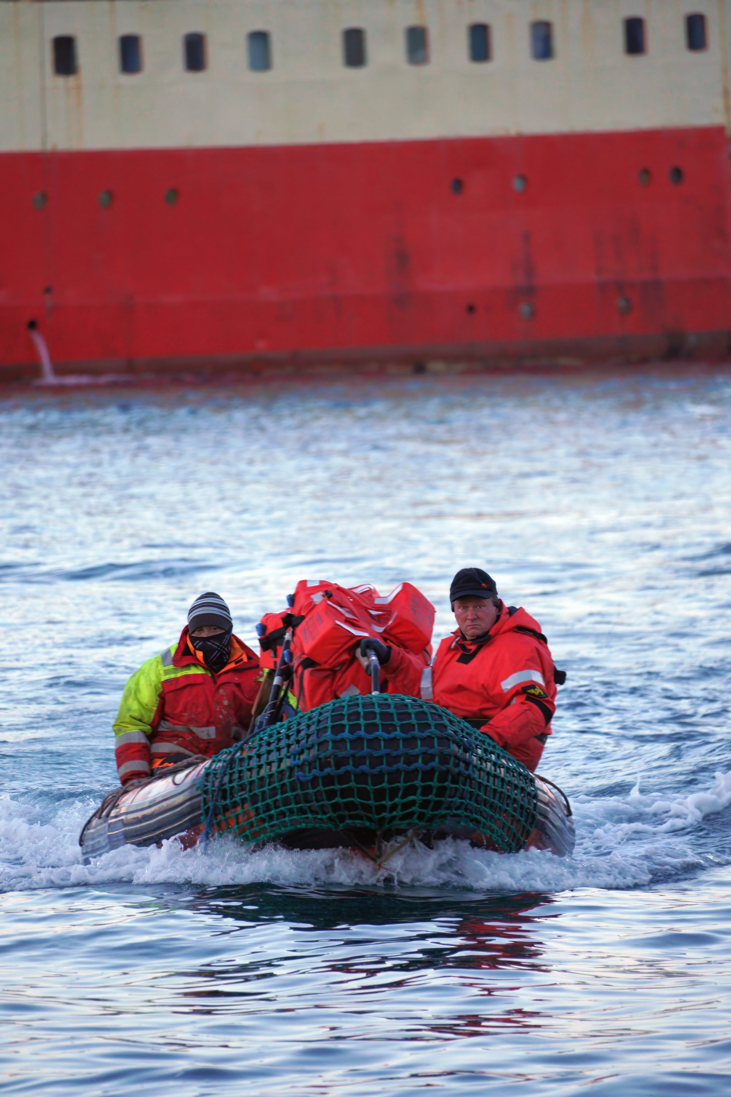
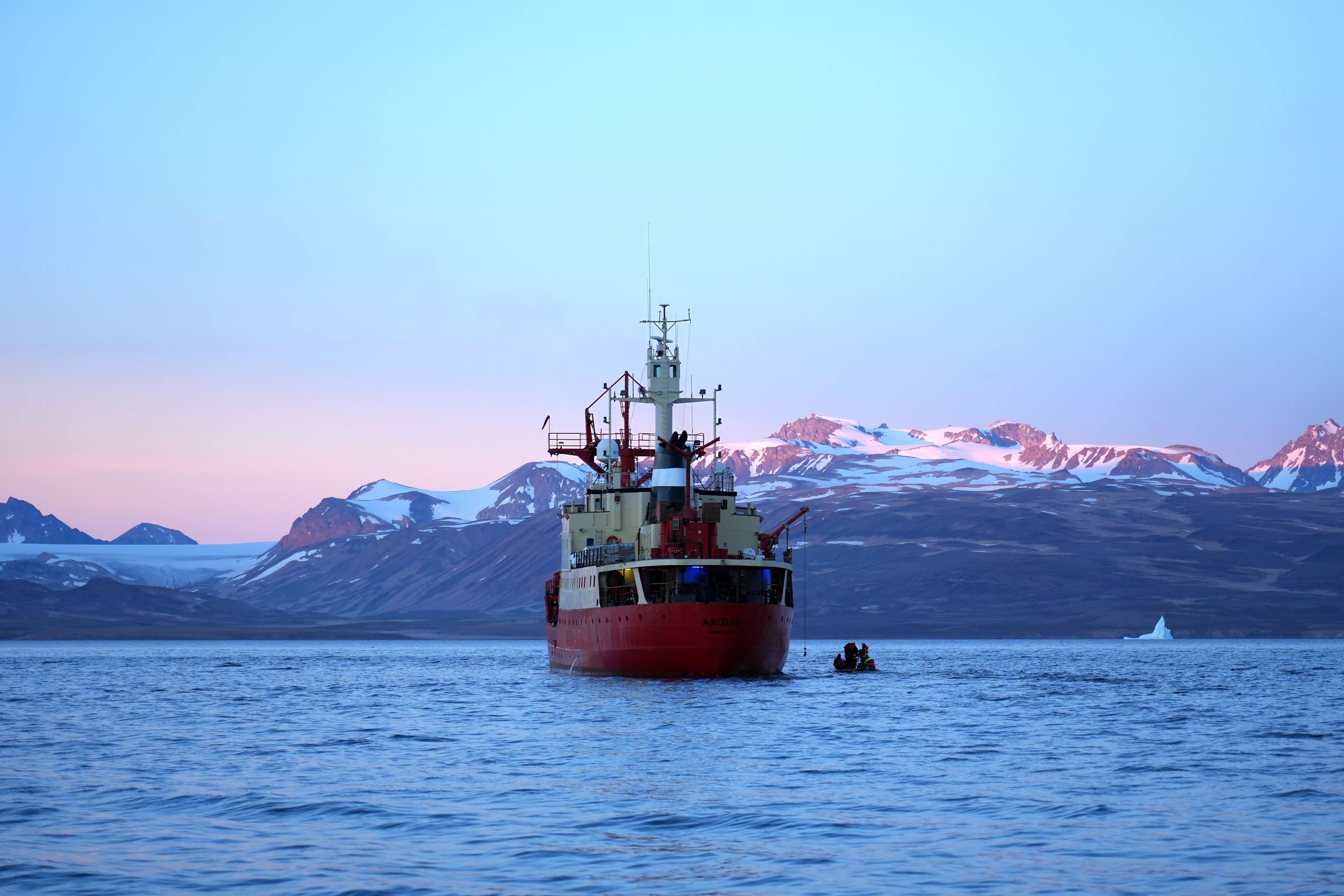
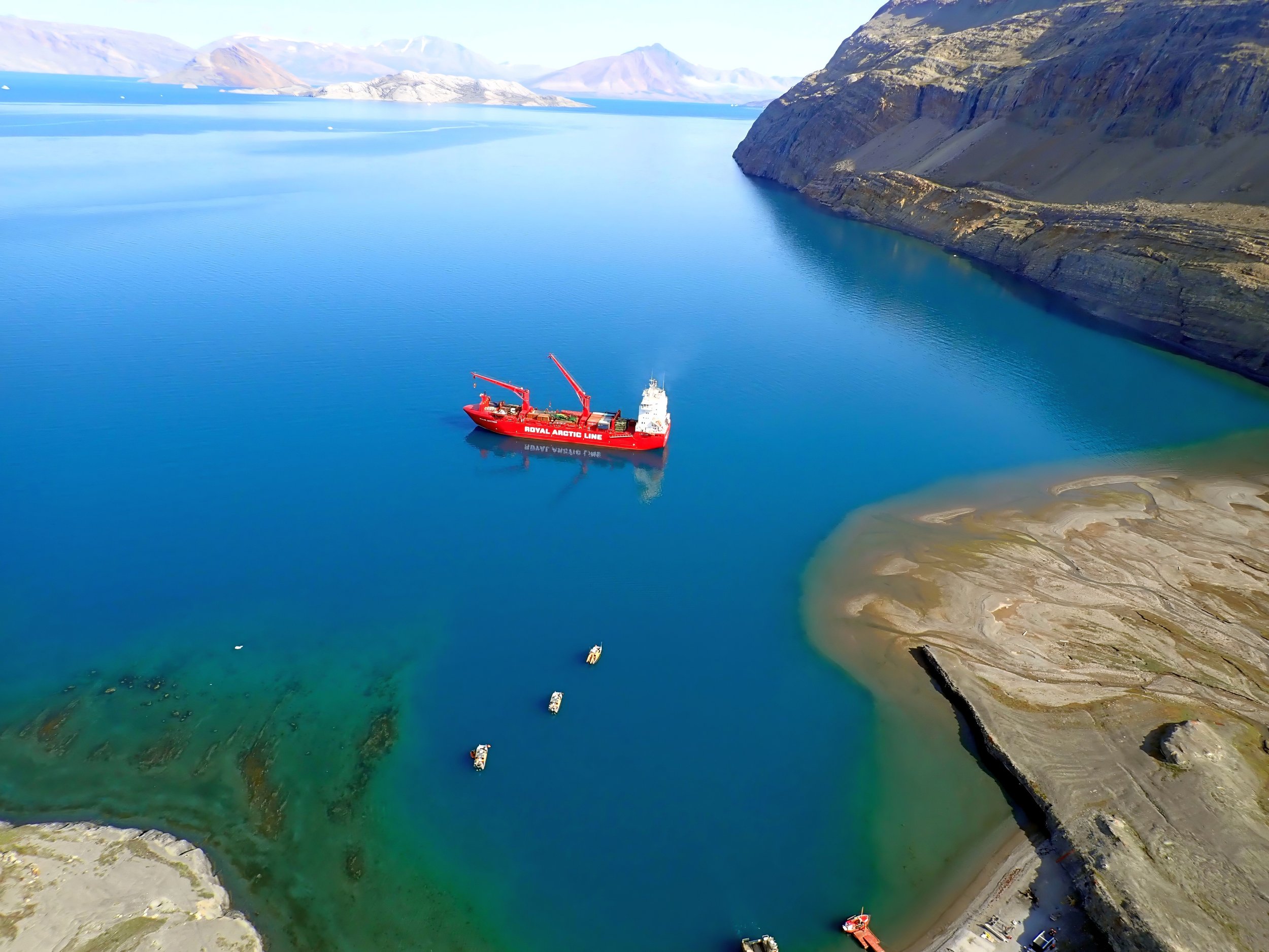
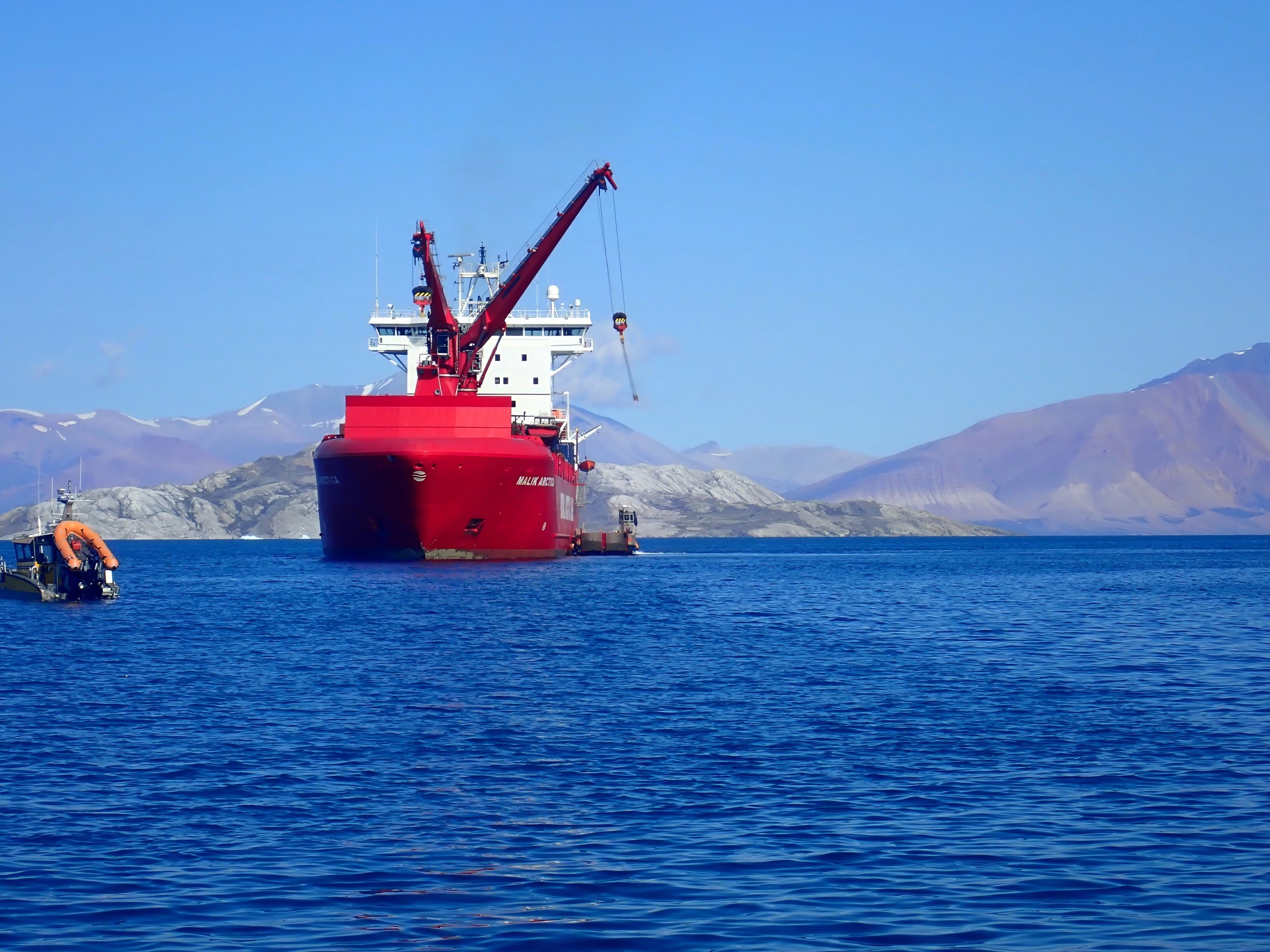
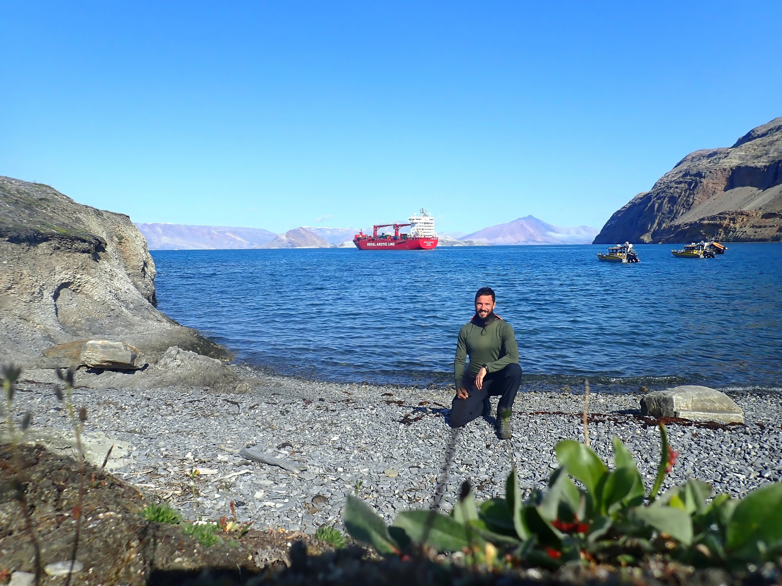
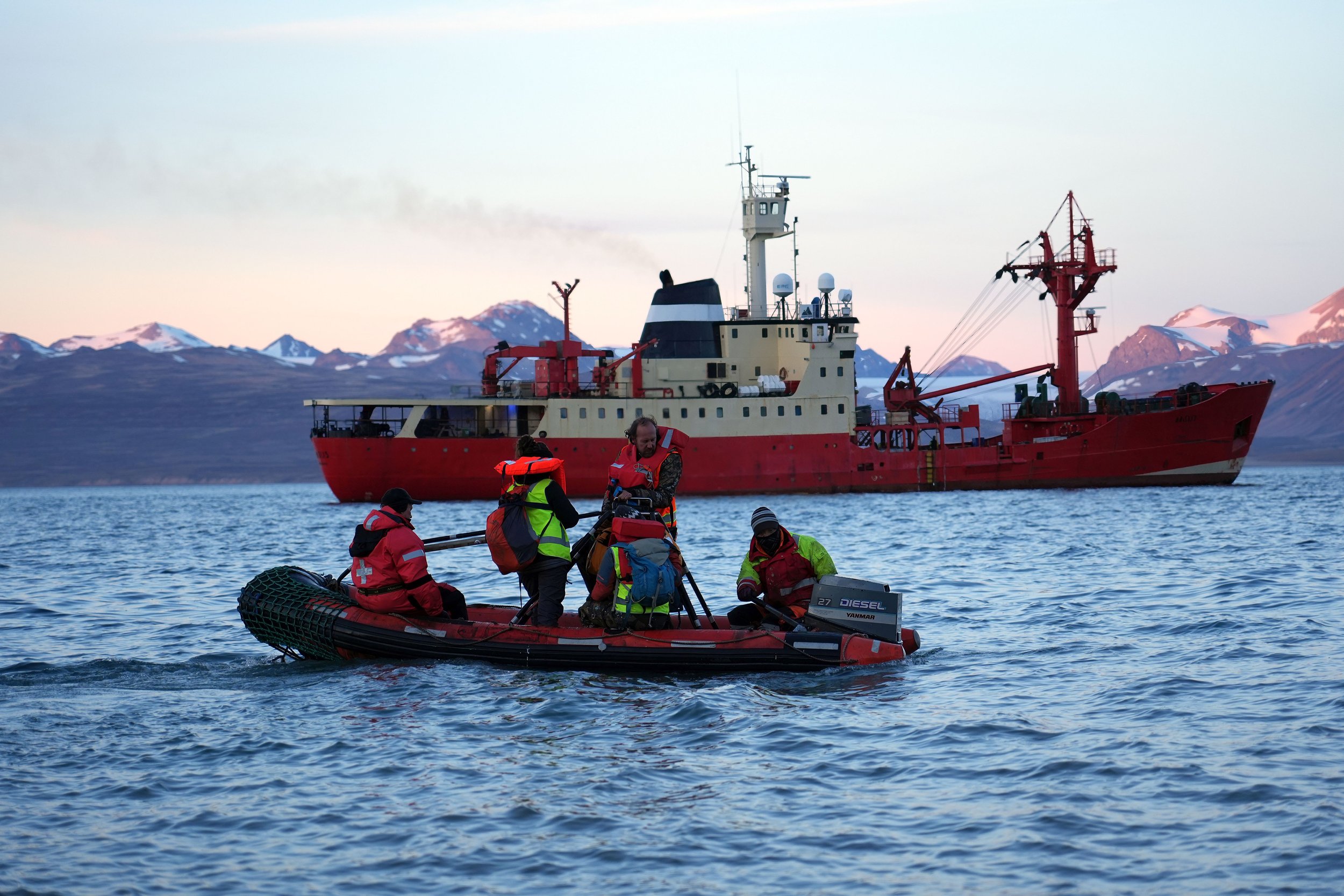
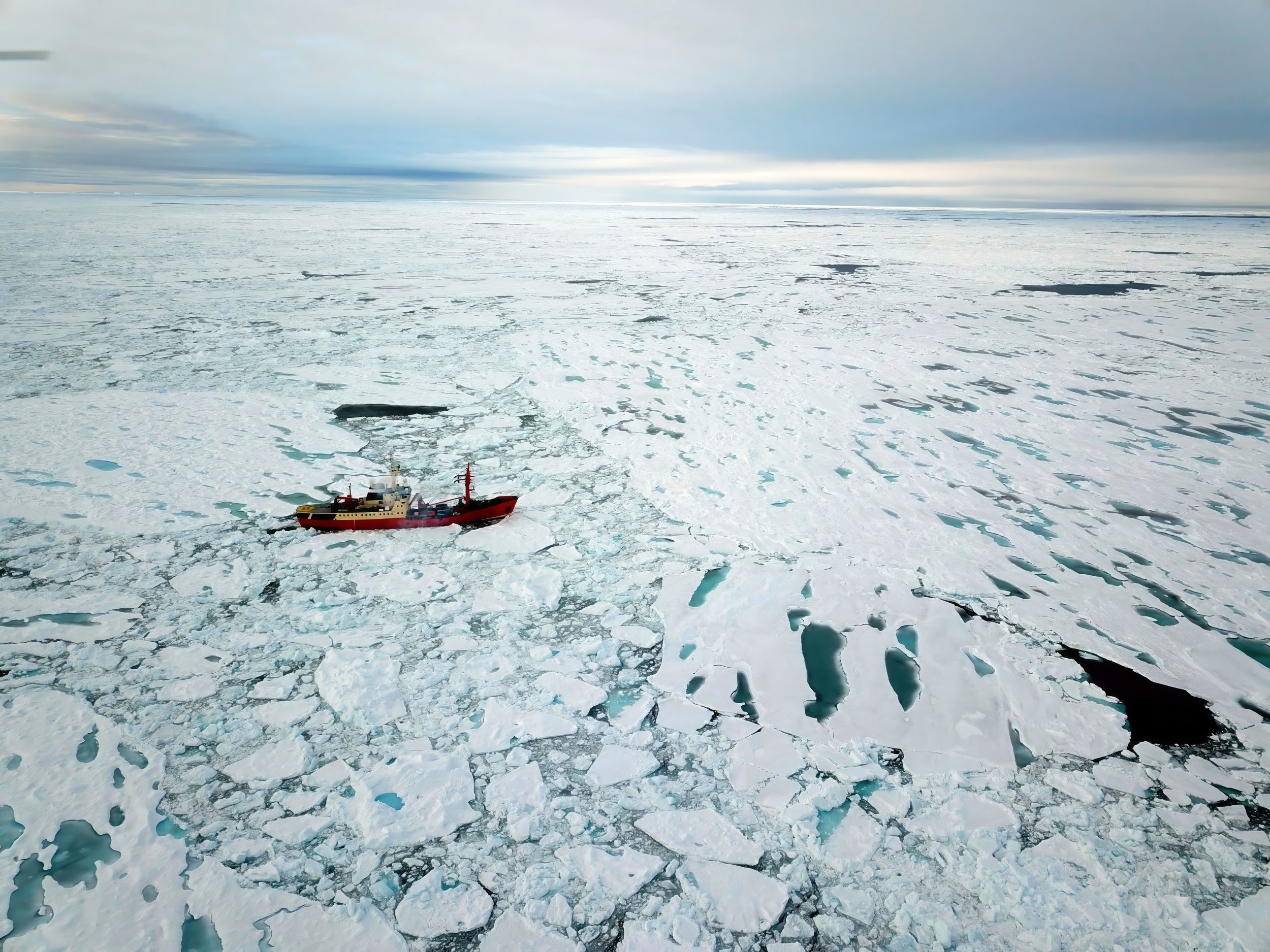
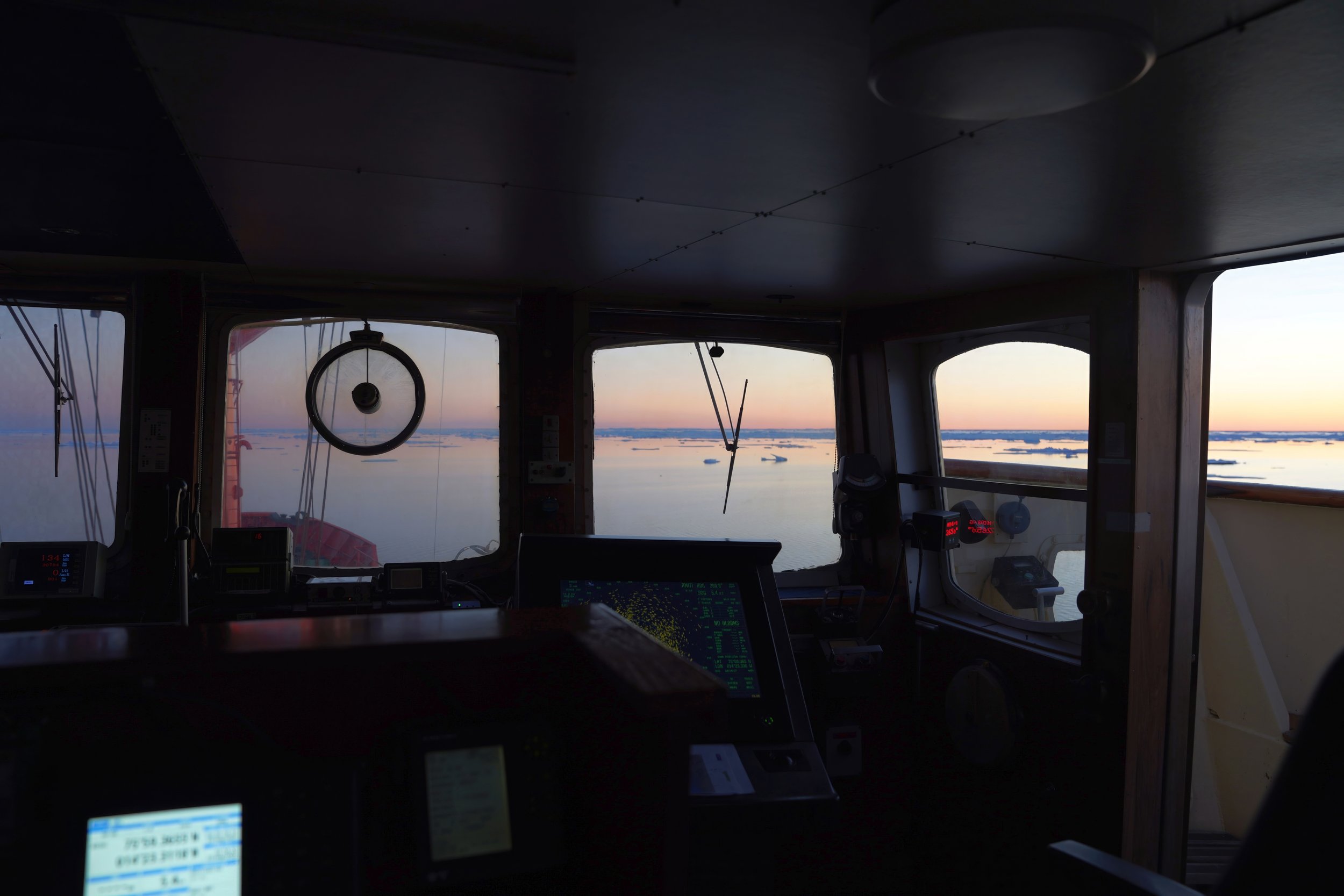
marine
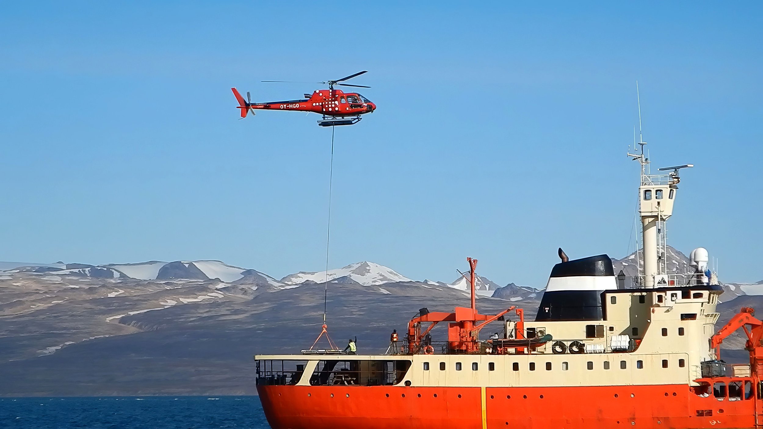
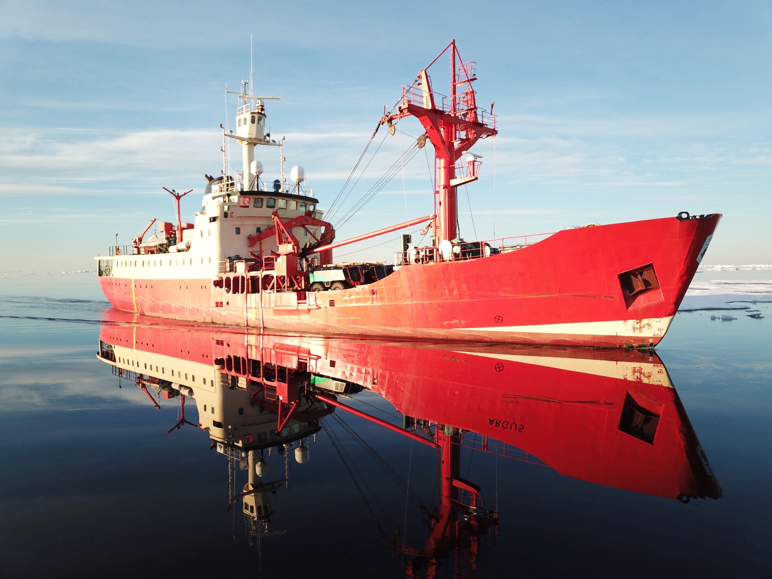
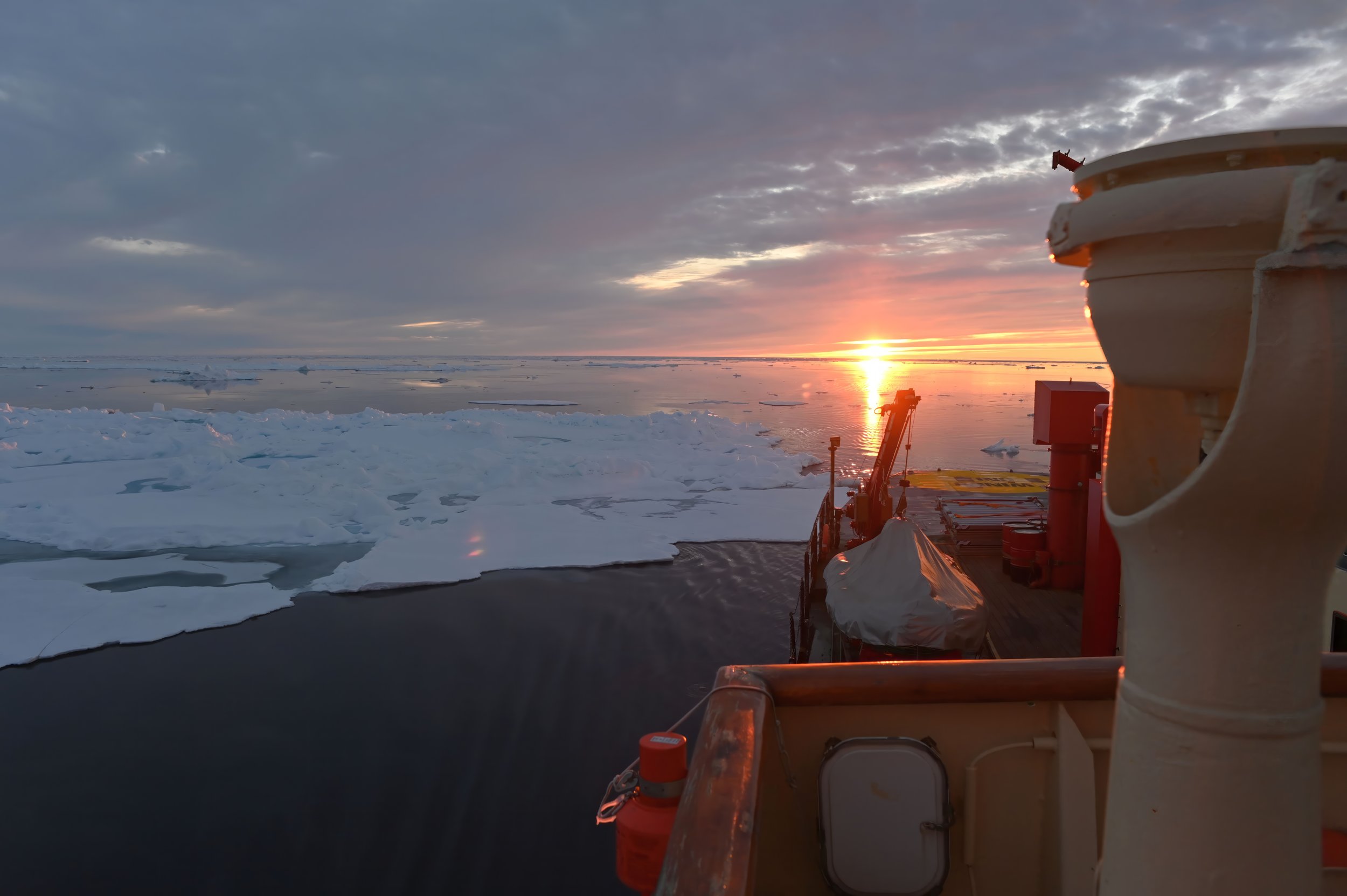
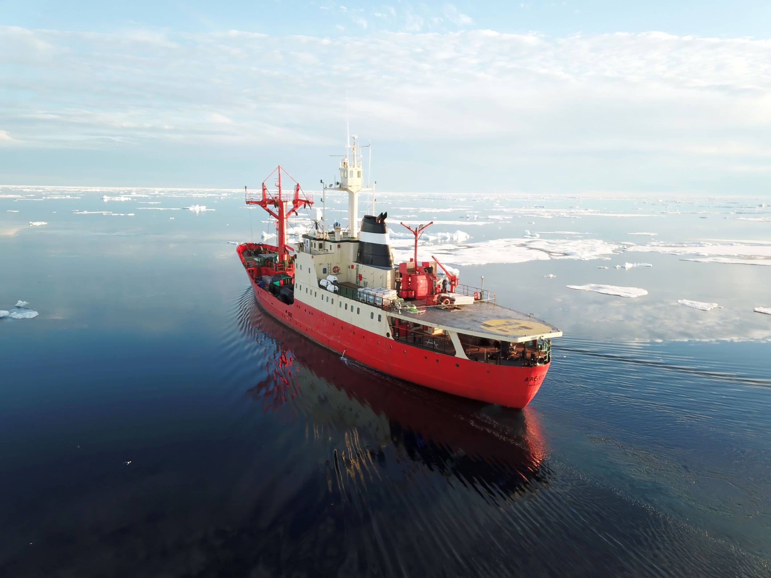
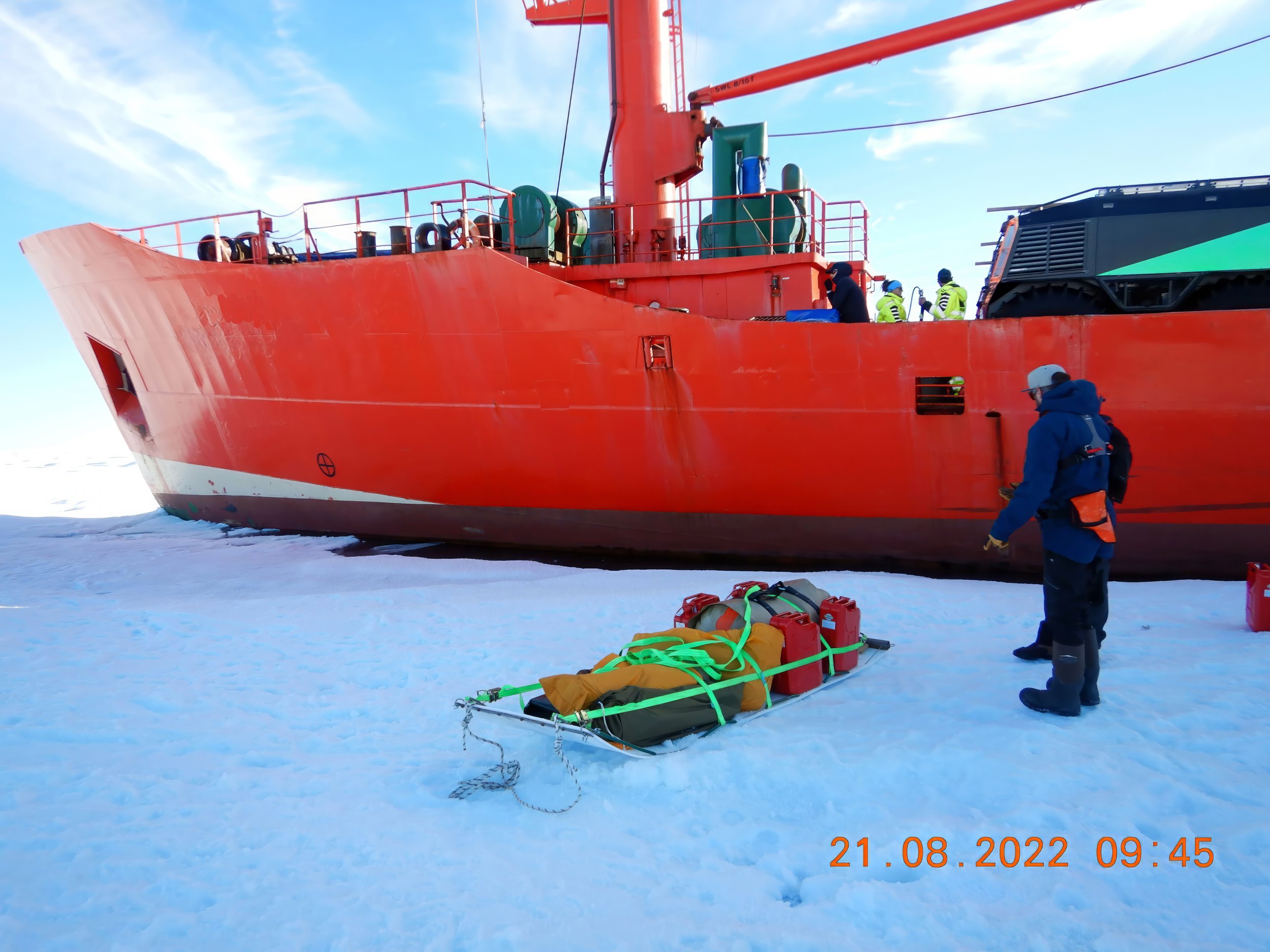
The payload offered by ships is hard to beat. Where we can, we use scheduled routes. However, to access world-class opportunities, we sometimes have to do specialised charters into areas where no ships have operated, sometimes for many decades.
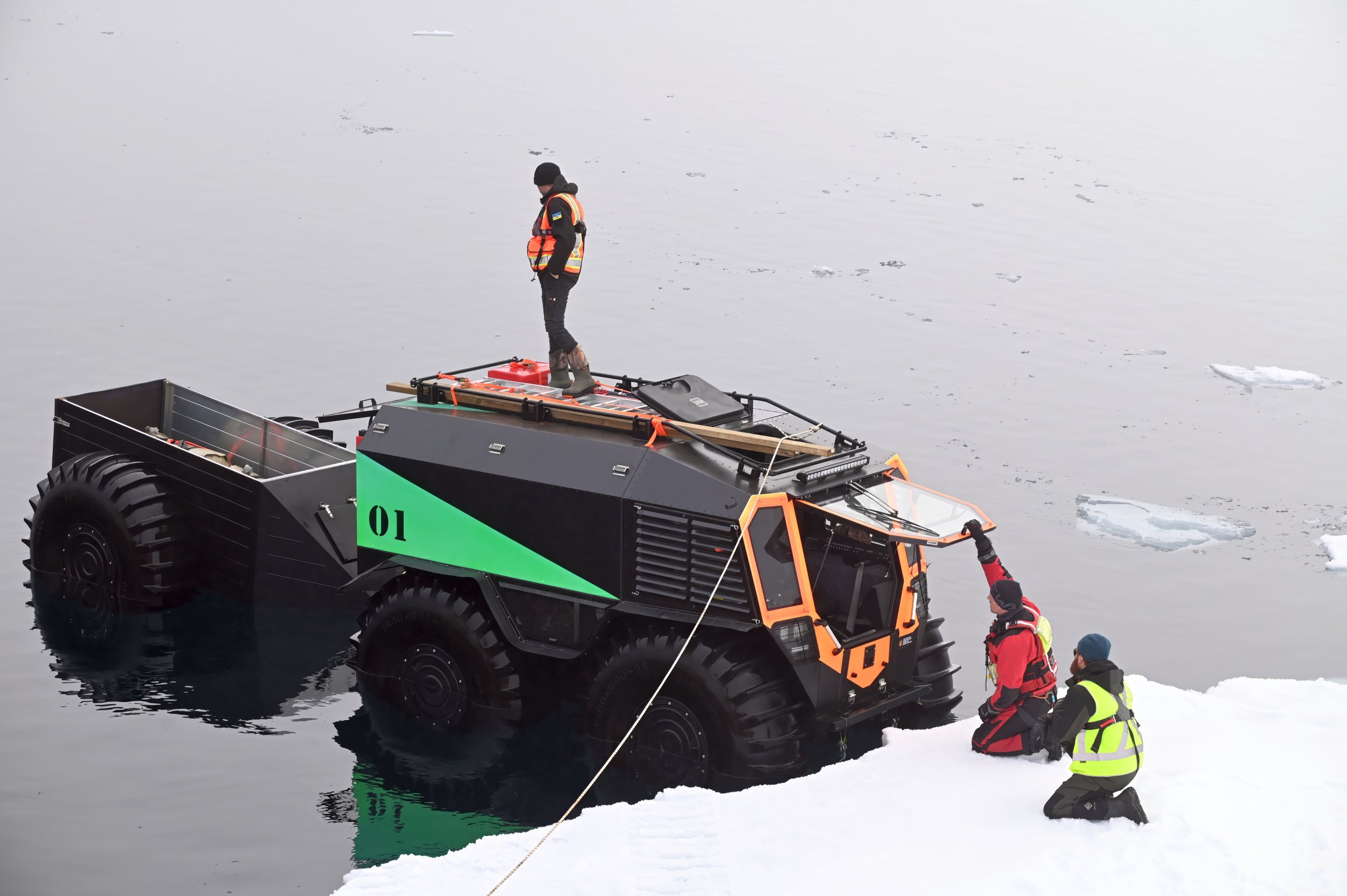
Using ships simplifies many things, but also introduces new challenges such as how to load in locations where there is no supporting infrastructure. To do this, Greenfields uses tenders, helicopters innovatively amphibious vehicles and trailers.
For videos of some of our marine operations, look at our Marine Operations playlist.

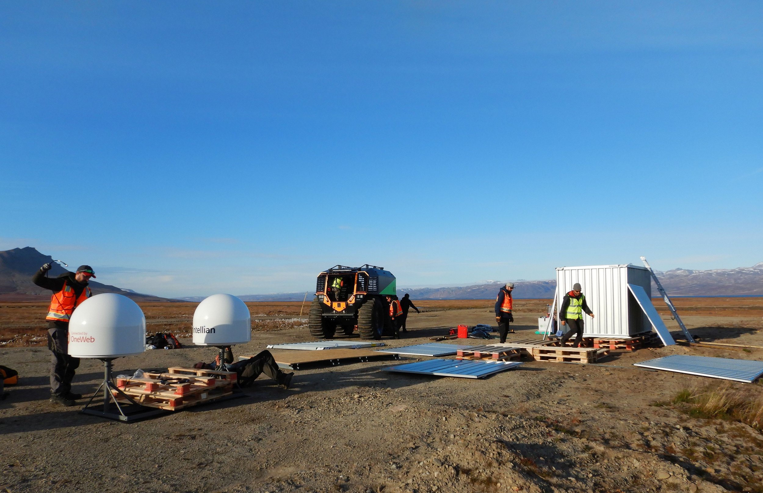
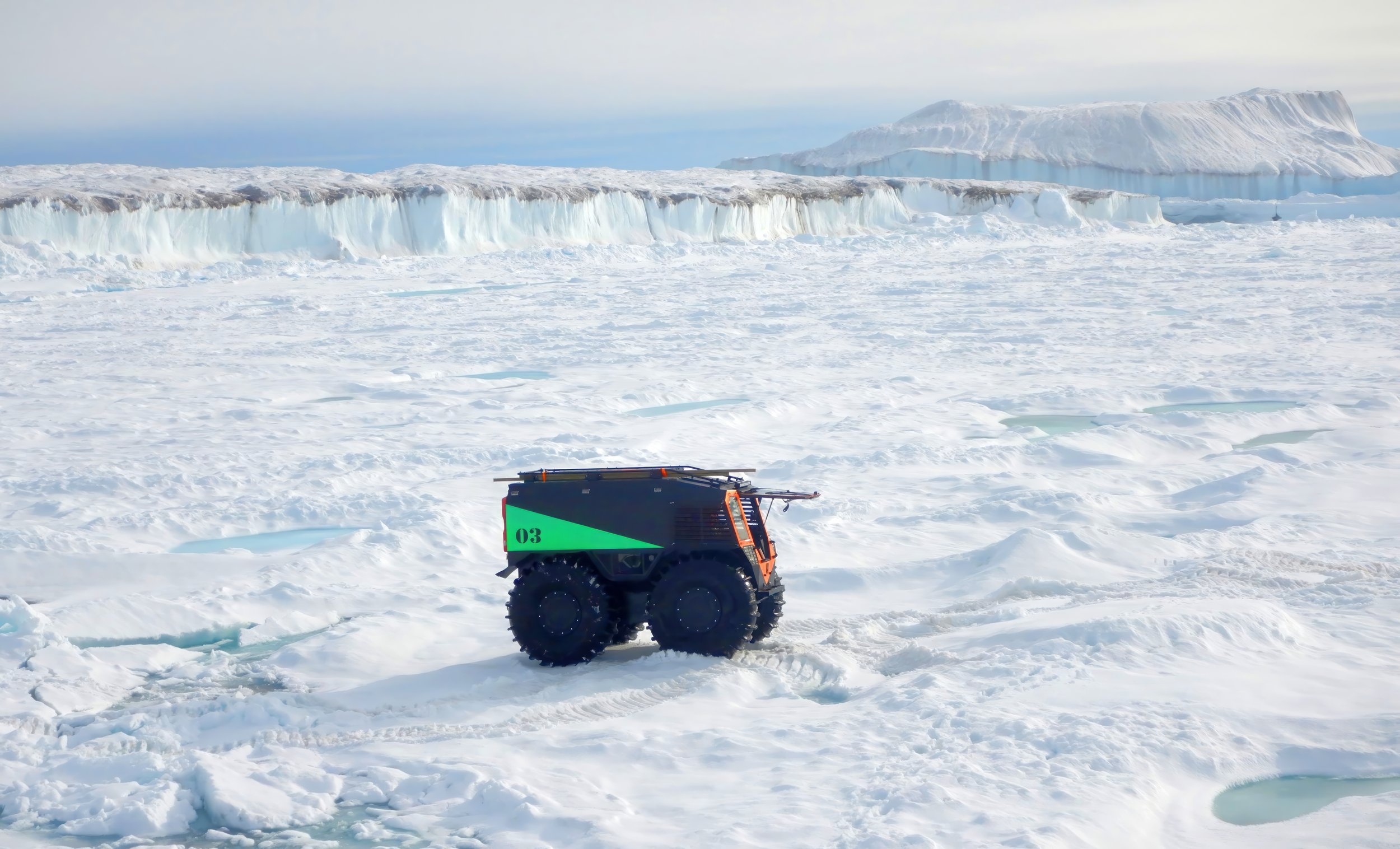
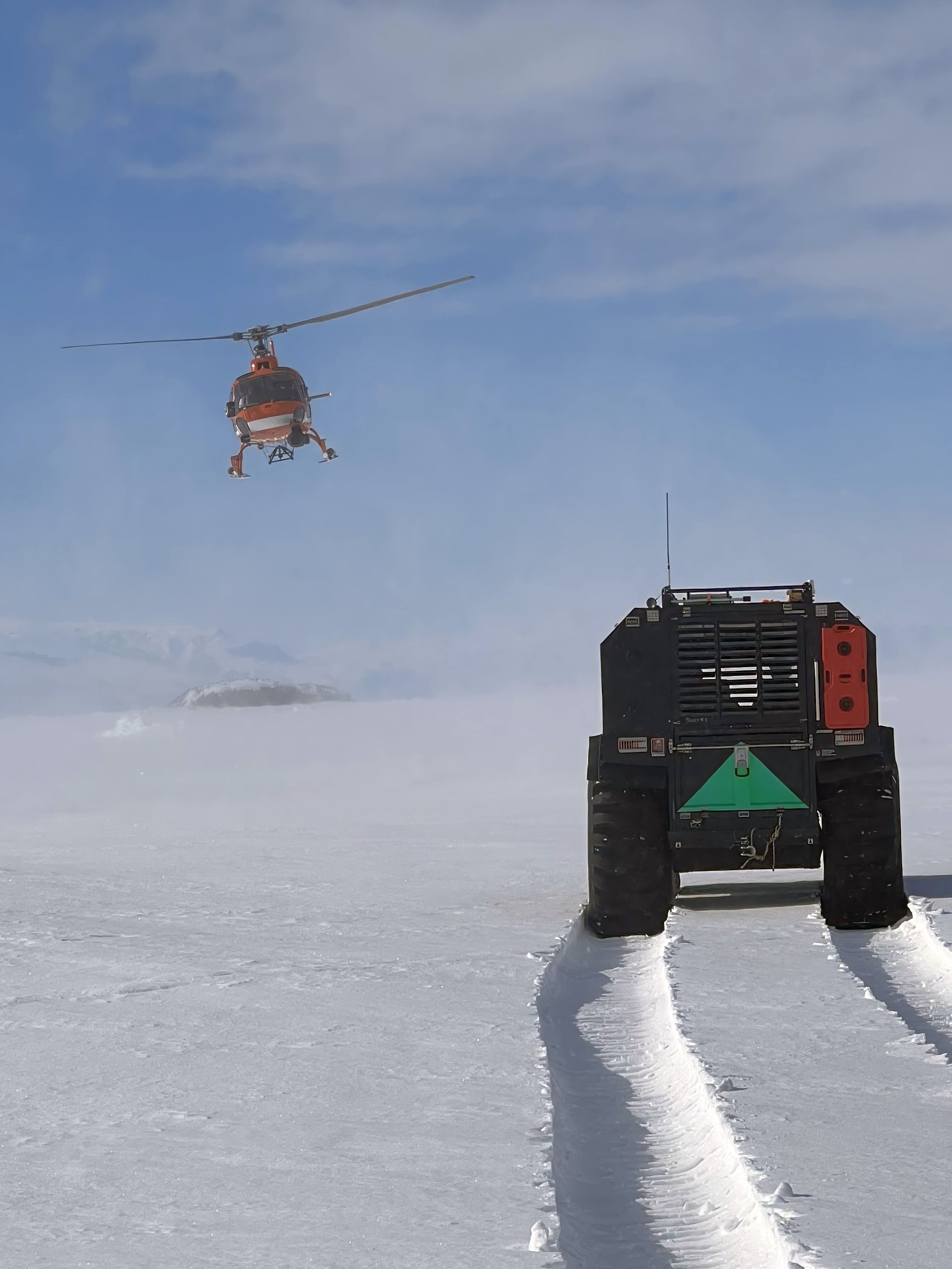
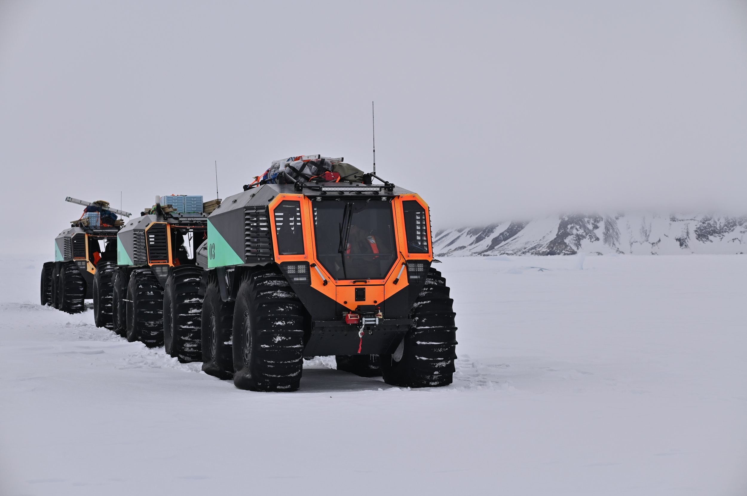
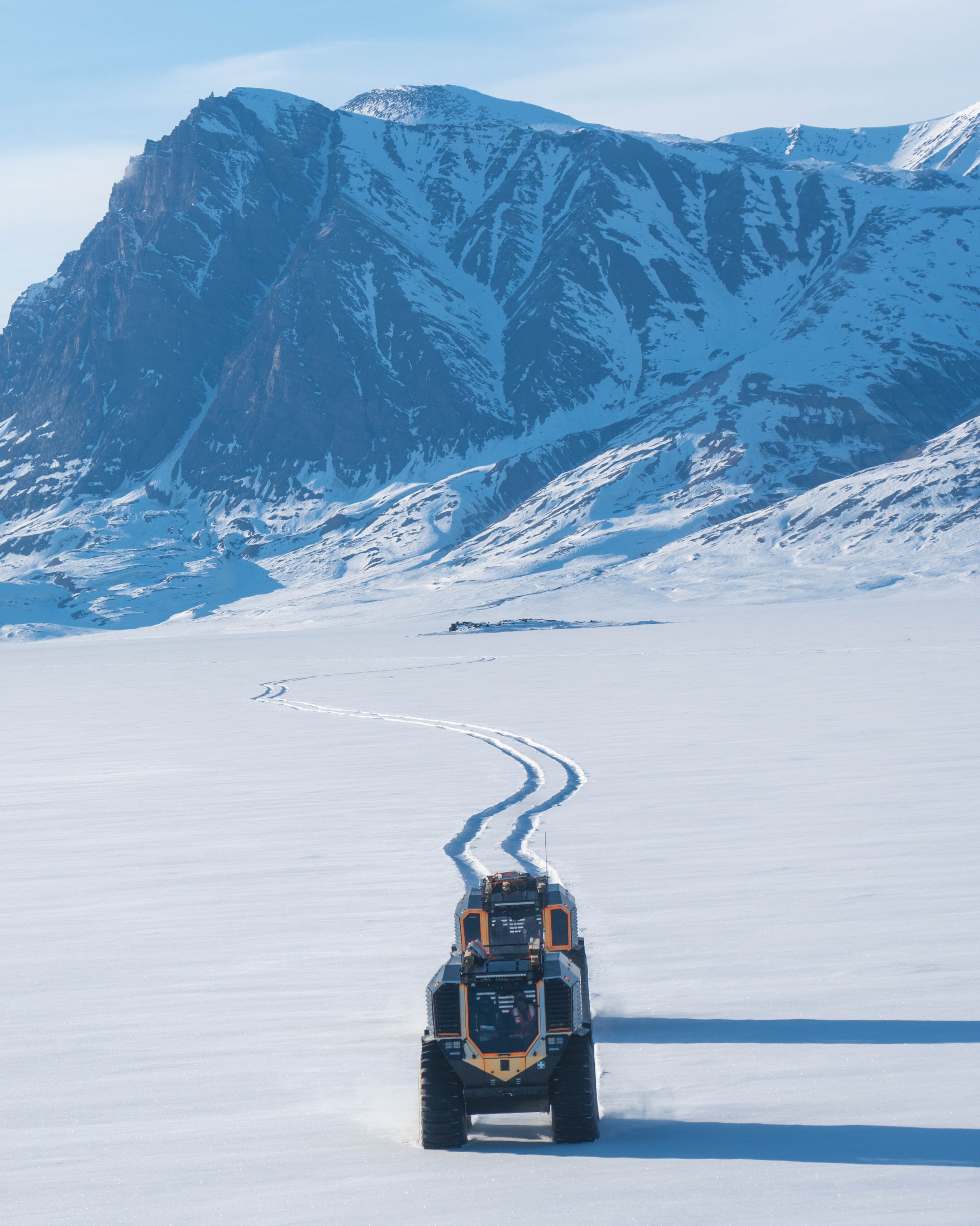
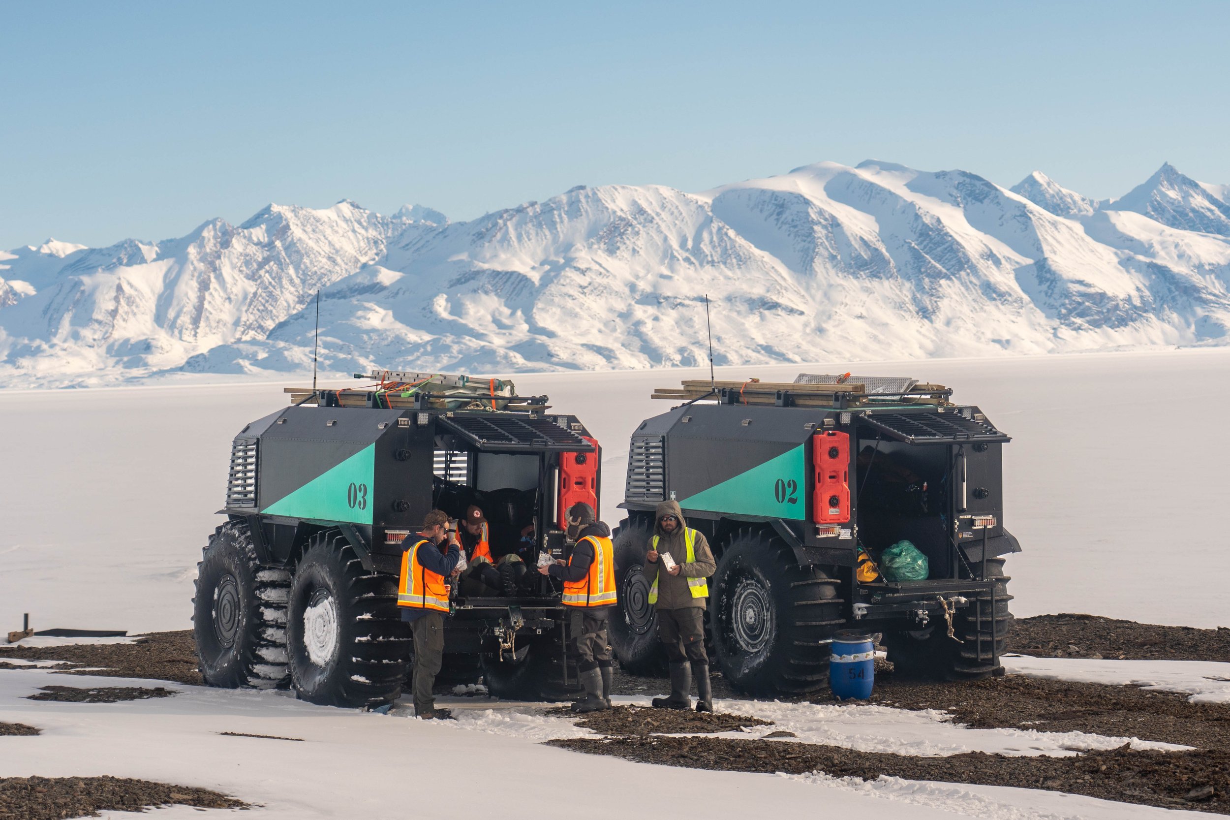
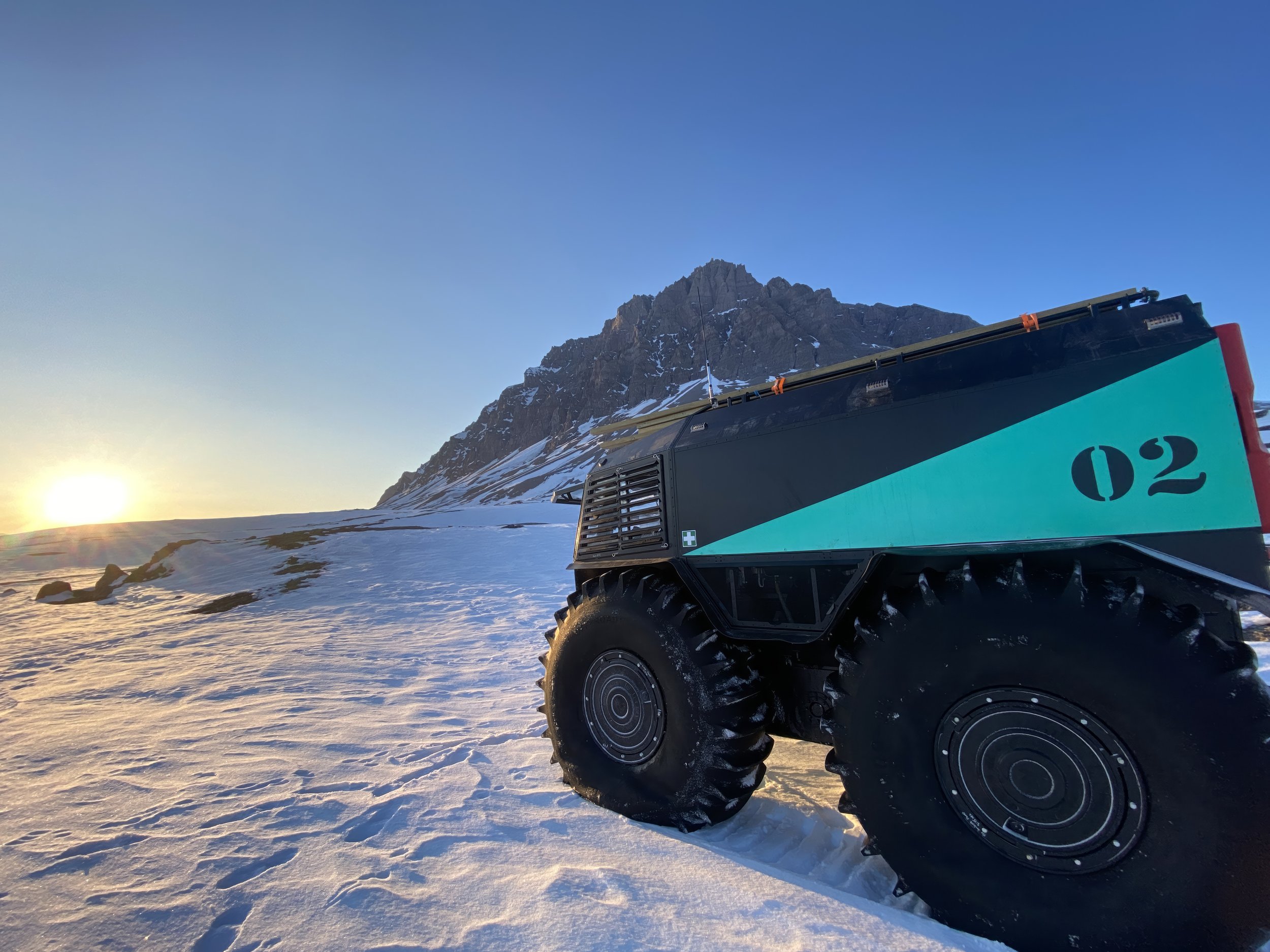
Amphibious
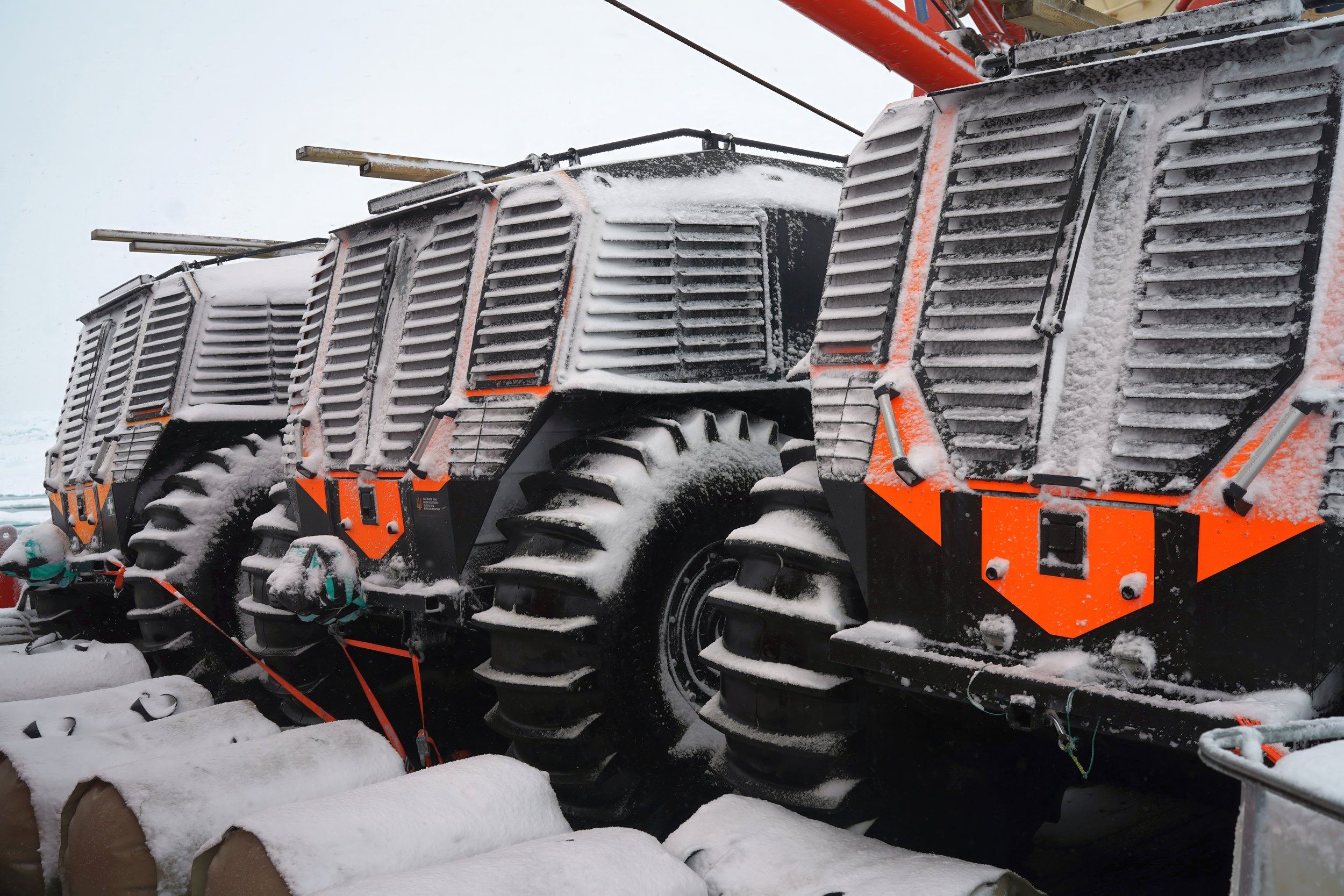
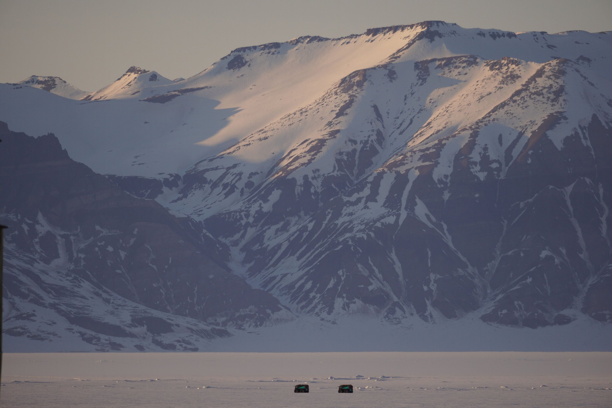
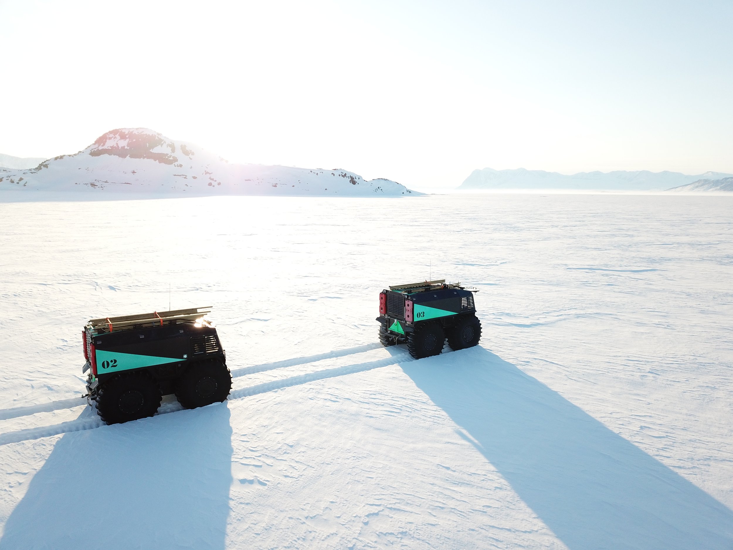
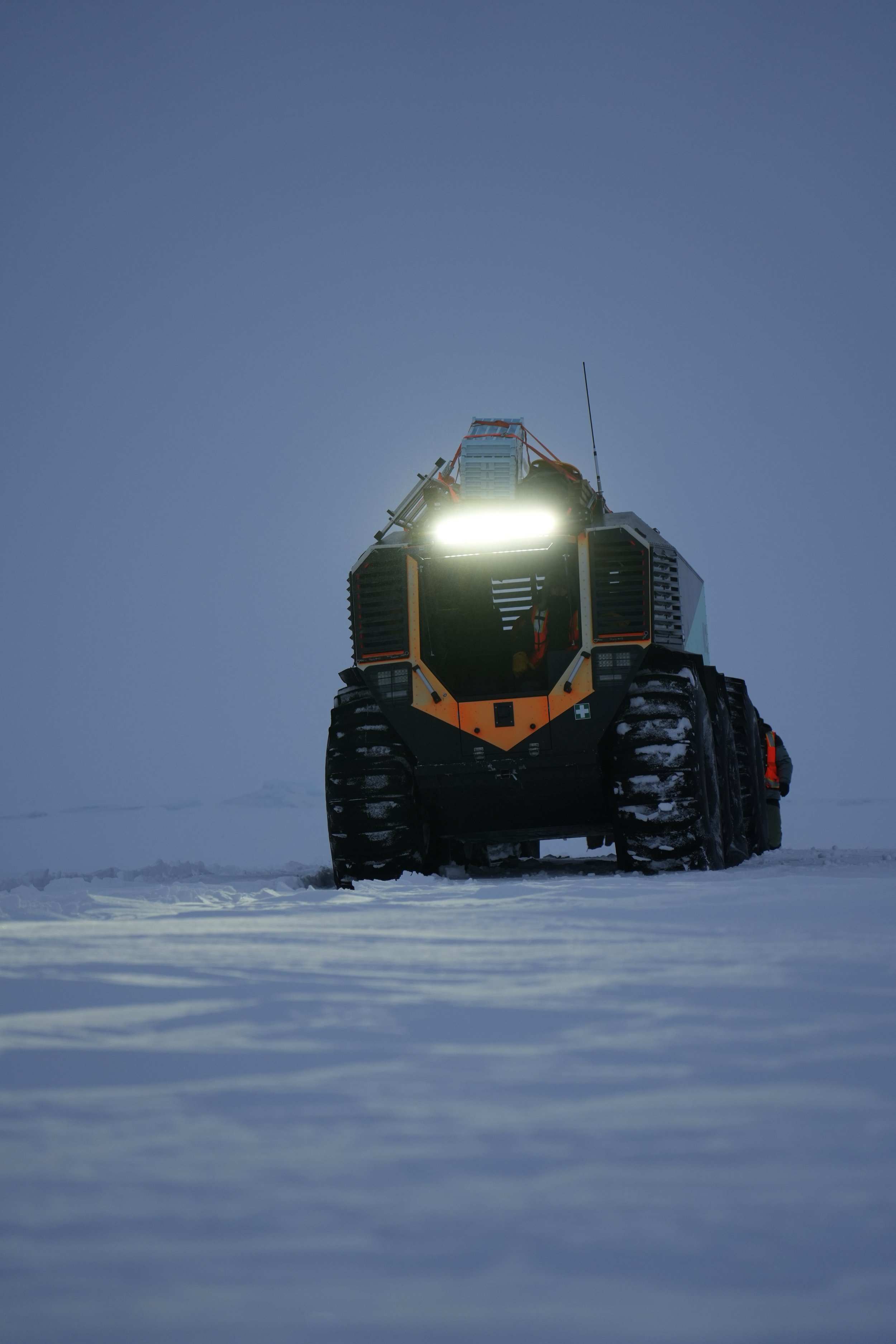
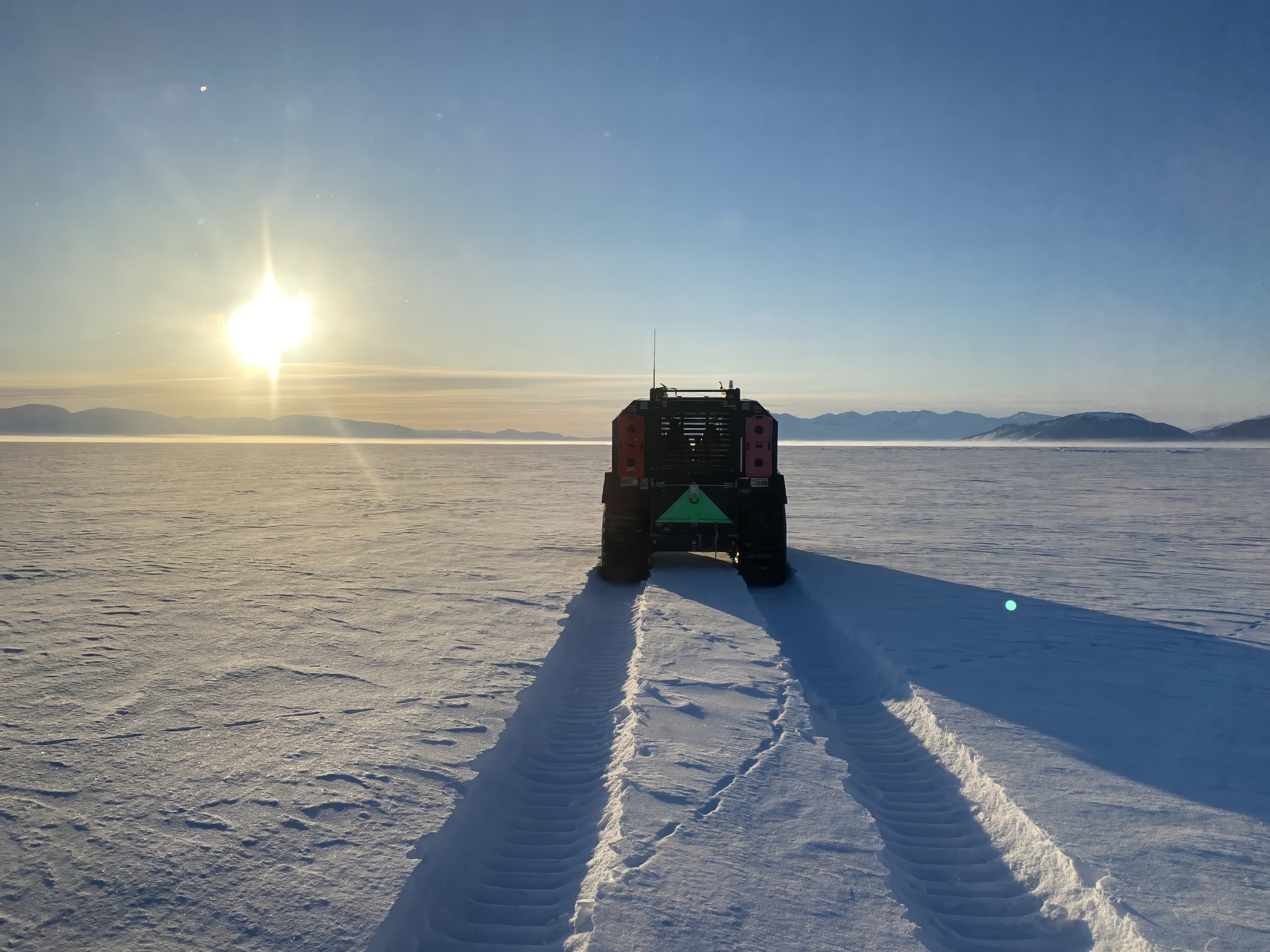
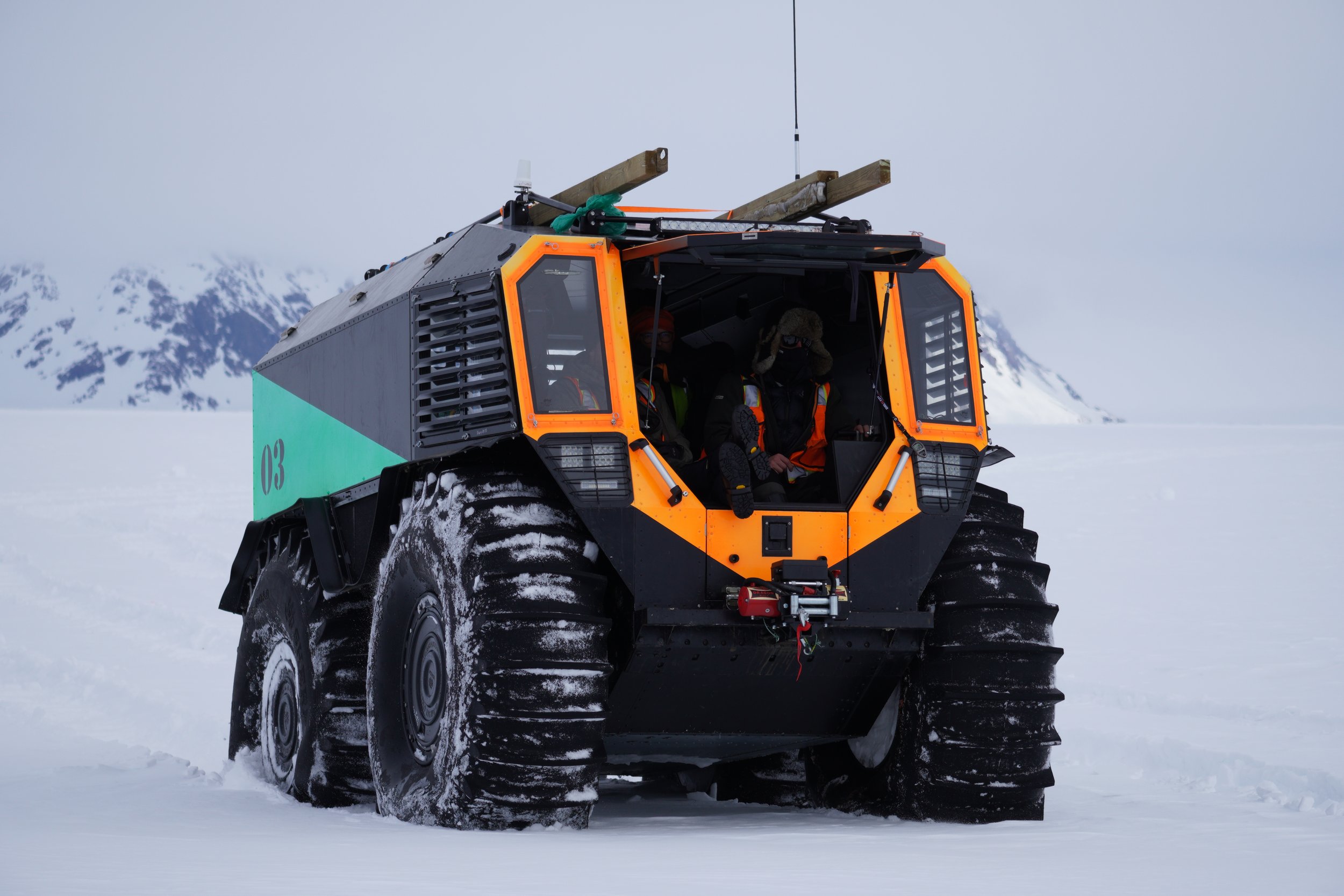
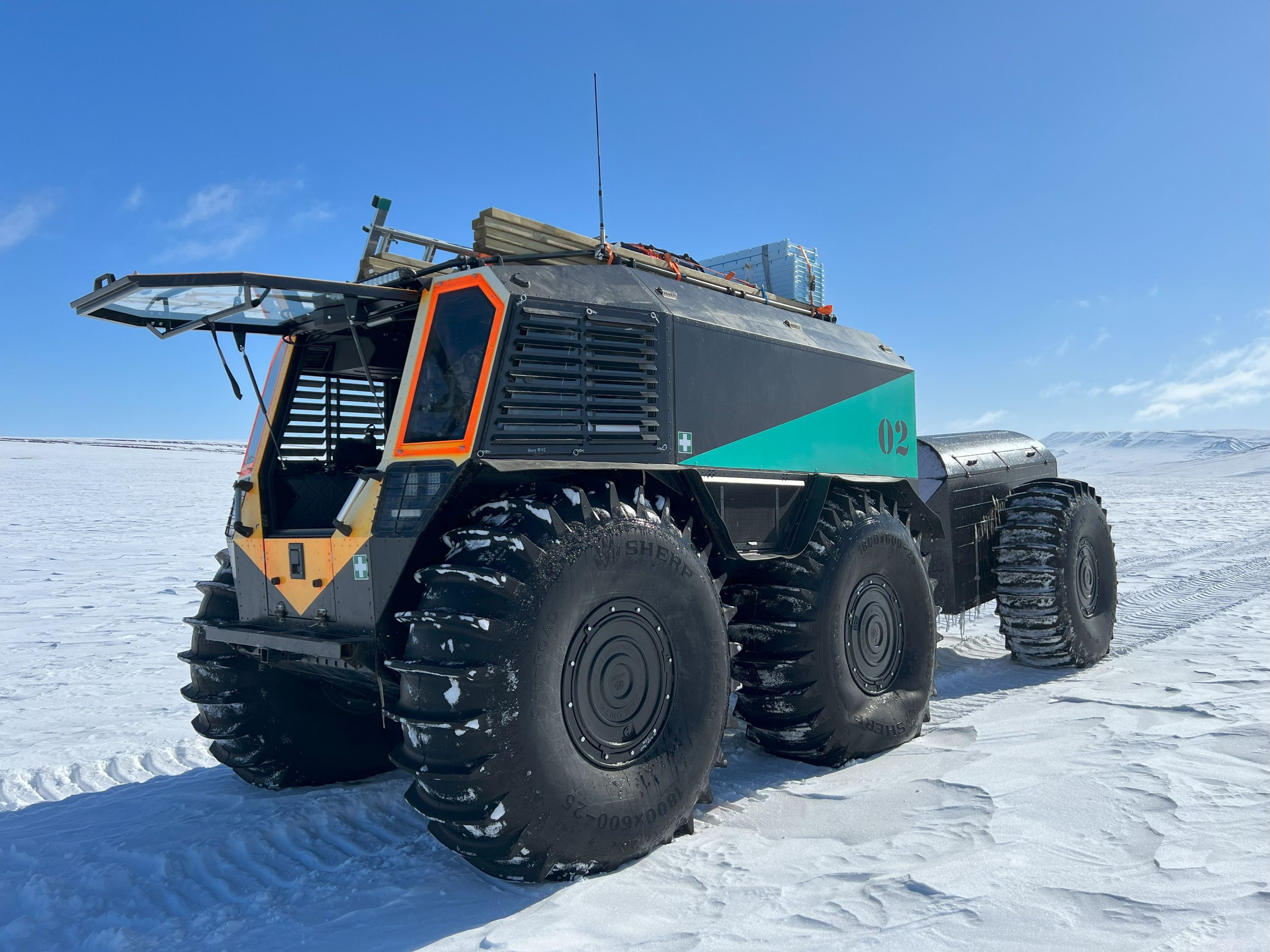
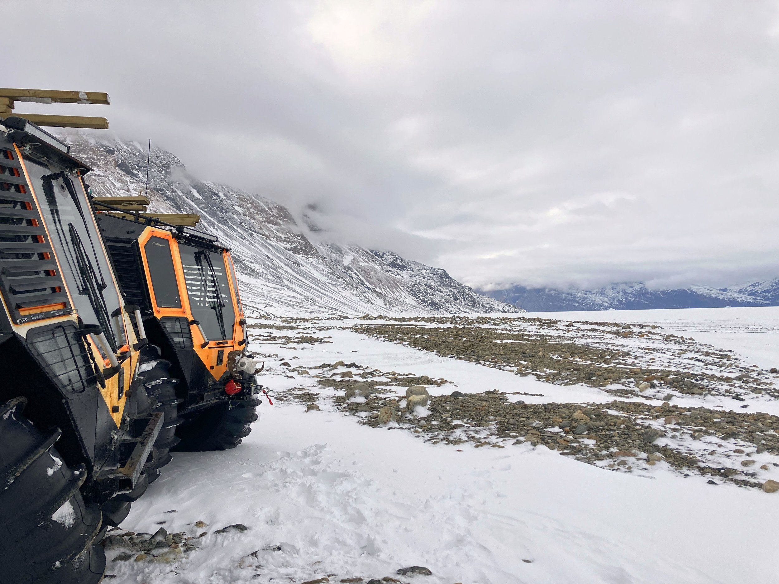
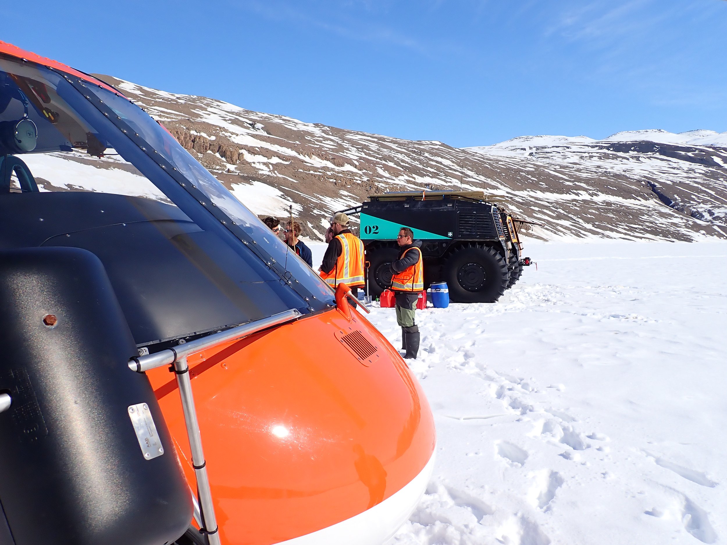
A big point of difference is Greenfields’ pioneering experience in using Sherp ATVs. The Arctic is an unpredictable place where even the best plans go by the wayside, and when they do, the flexibility of these platforms make a huge difference.
Greenfields has used Sherp for hauling cargo across water, ice, and land; and used them as rolling camps. A great advantage of Sherp is that they are are an order of magnitude cheaper than a helicopter-only supported operation, bear-proof, weather-proof, use fuel frugally, and allow for highly efficient and safe deployments. Additional imagery of our Sherp operations is available on our Amphibious Operations playlist.

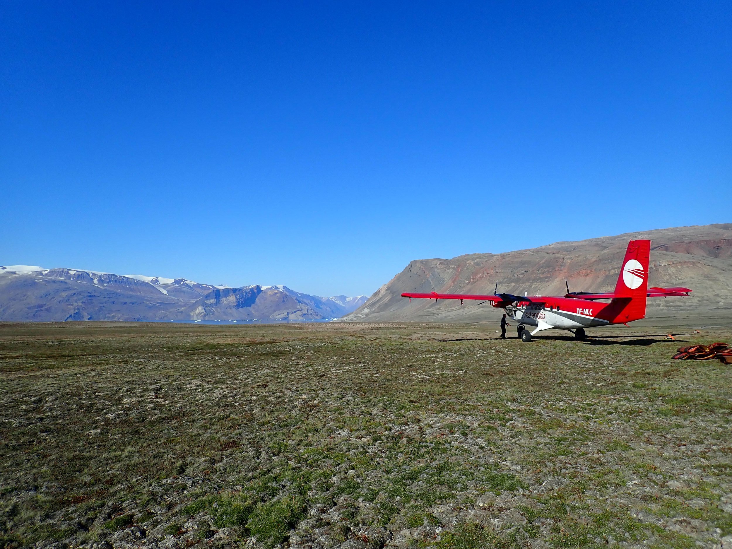
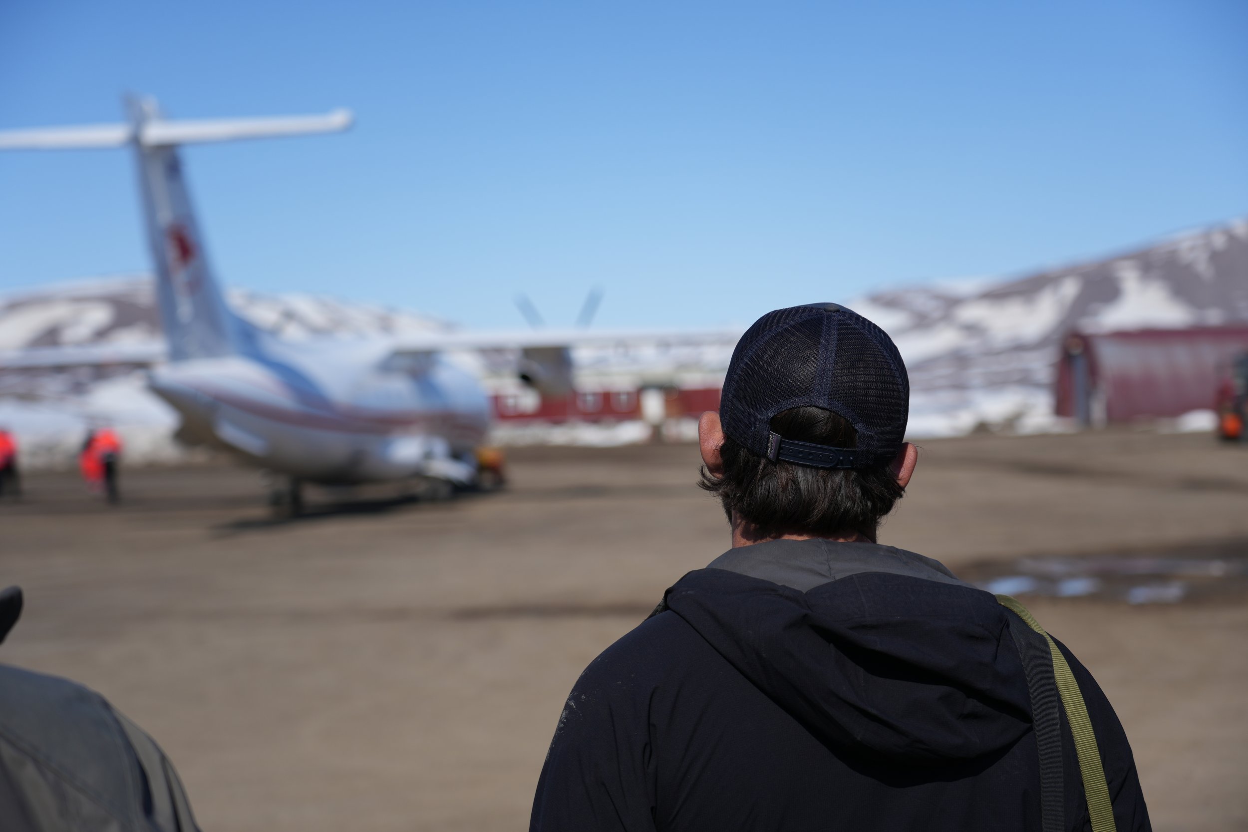
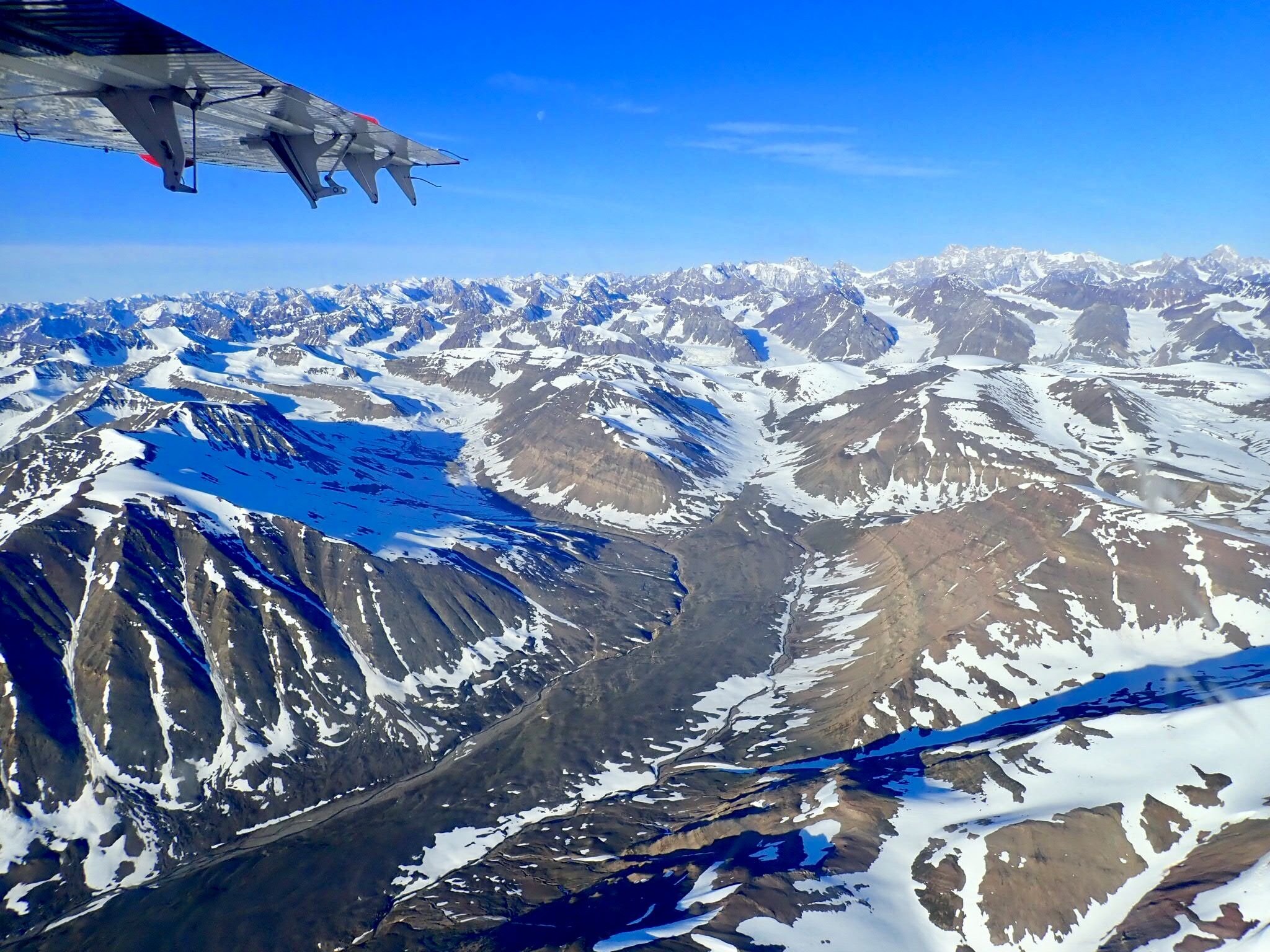
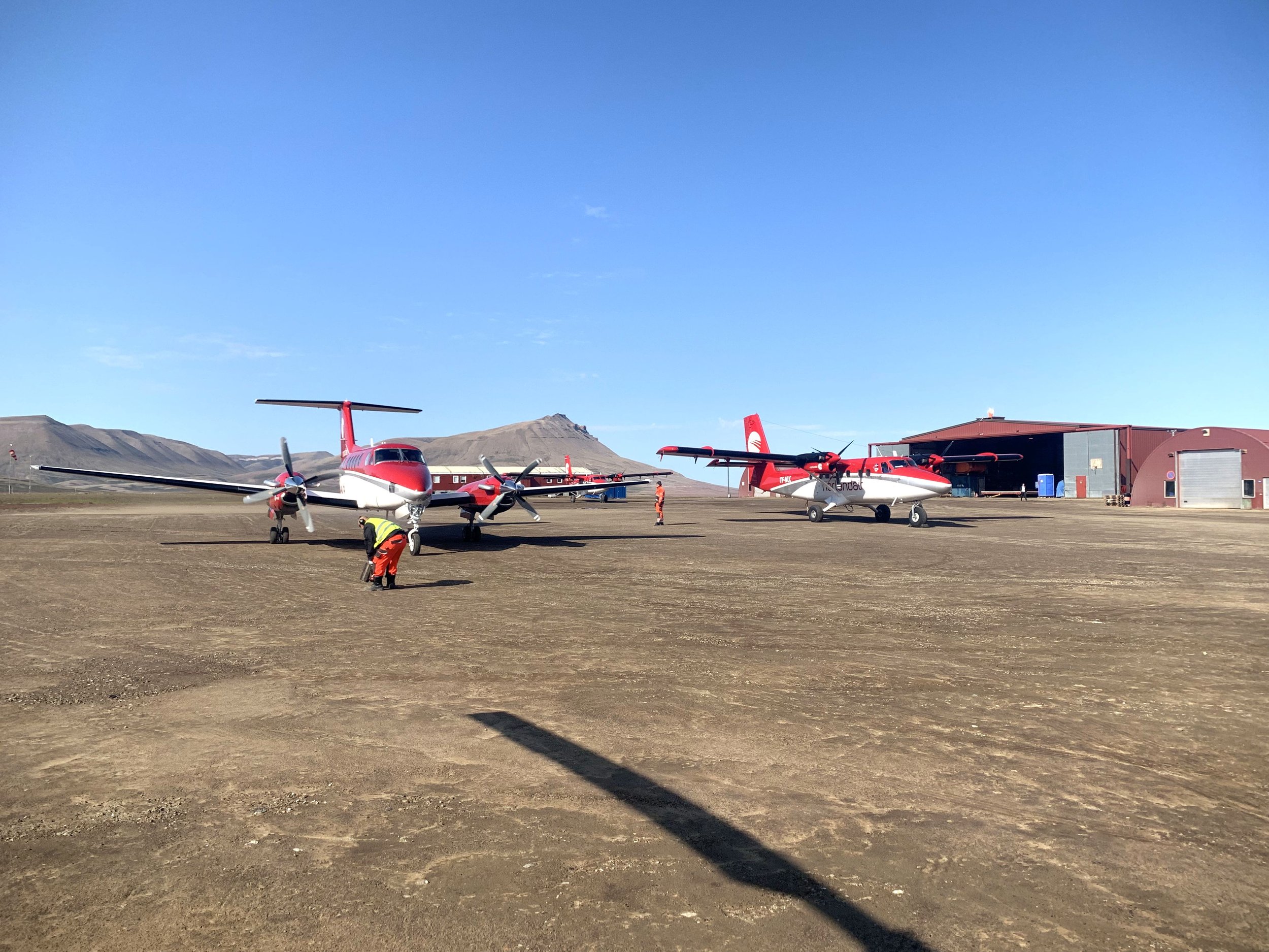
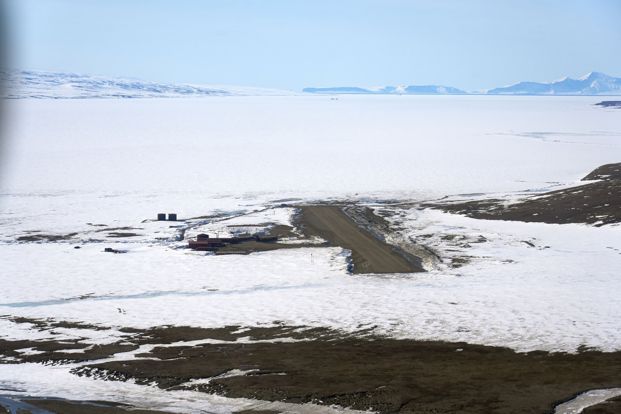
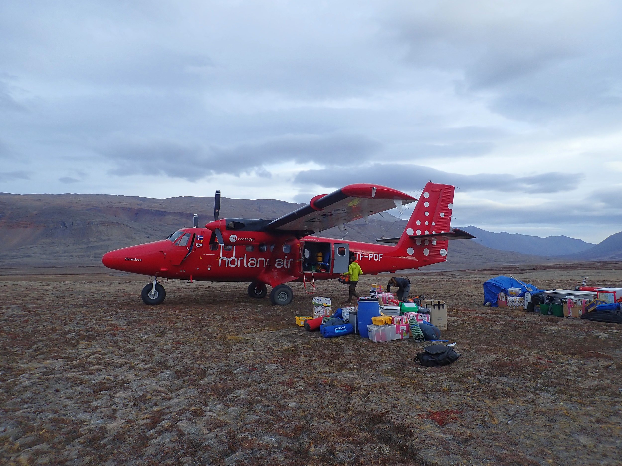
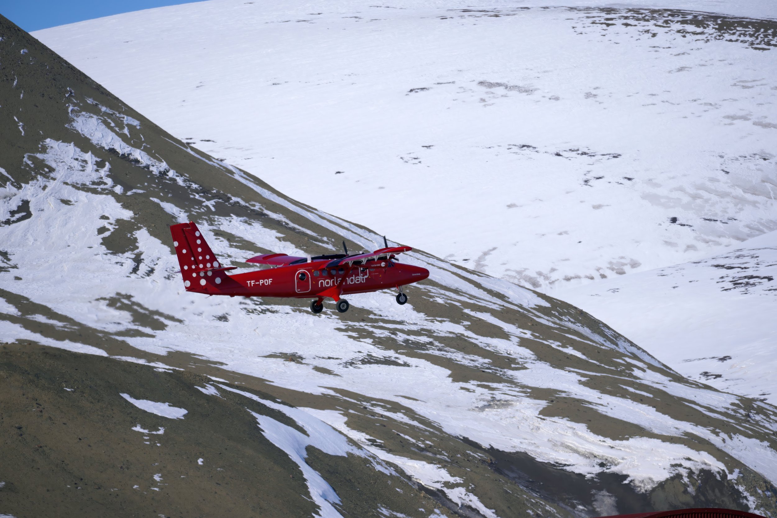
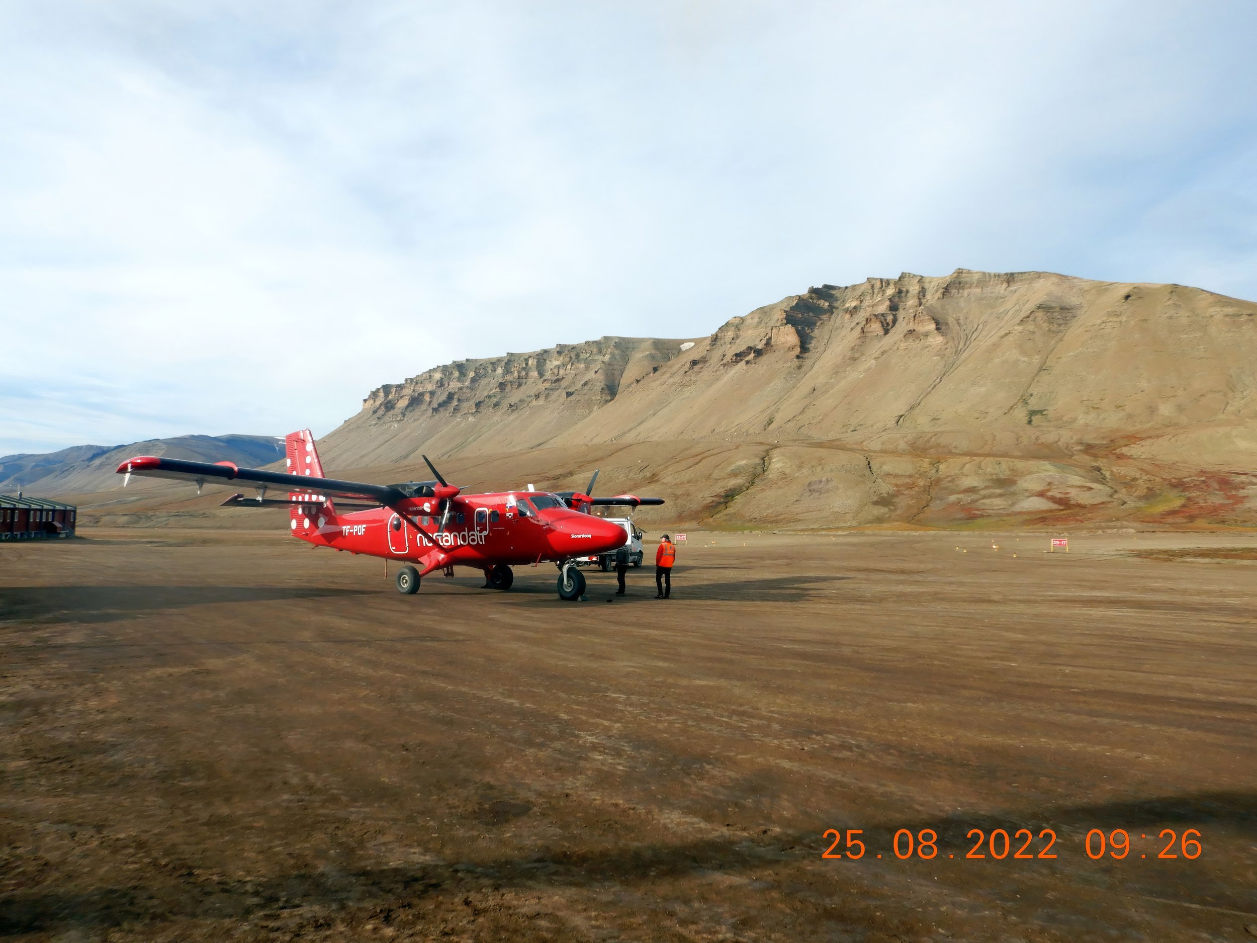
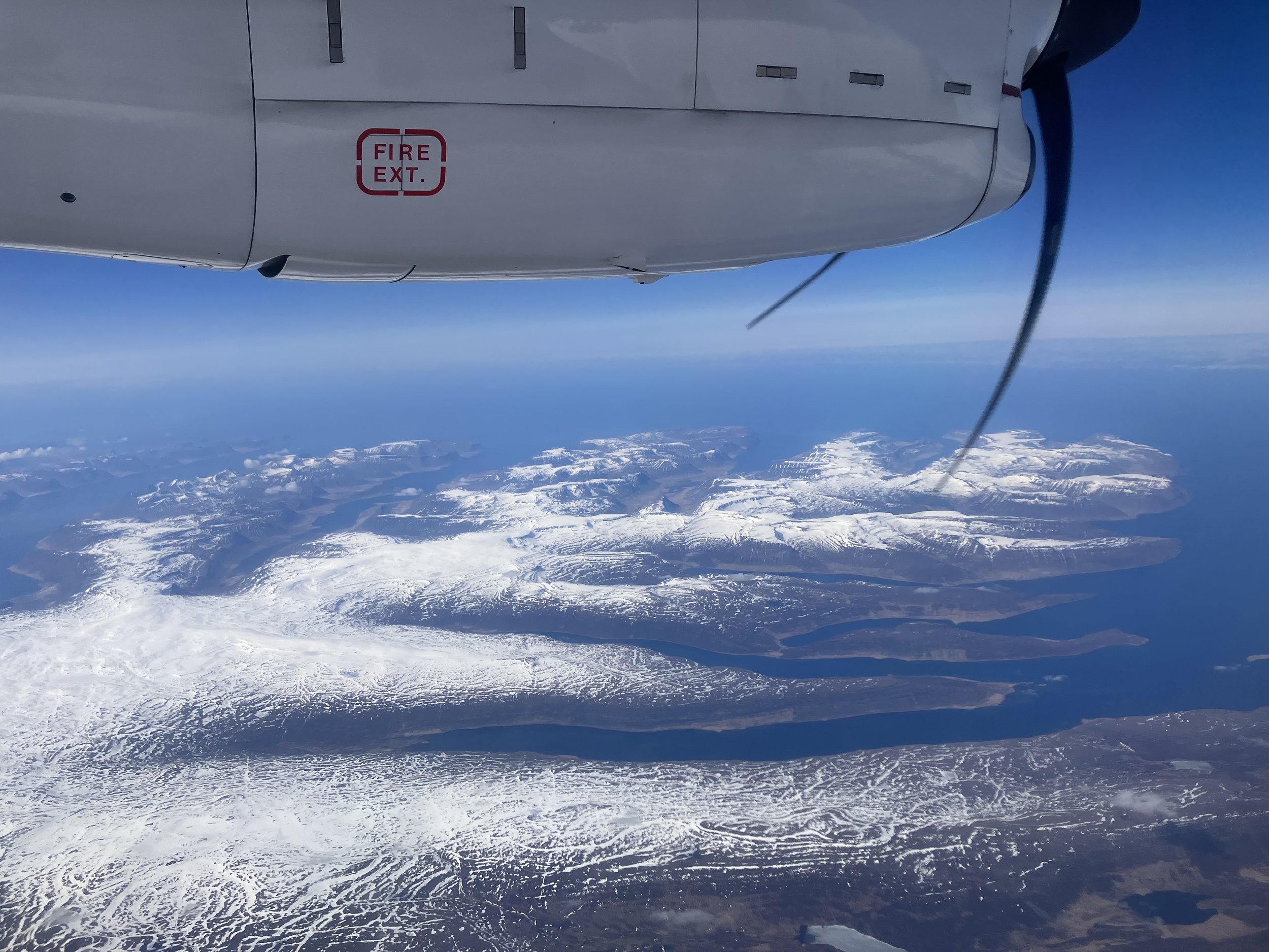
fixed-wing aviation
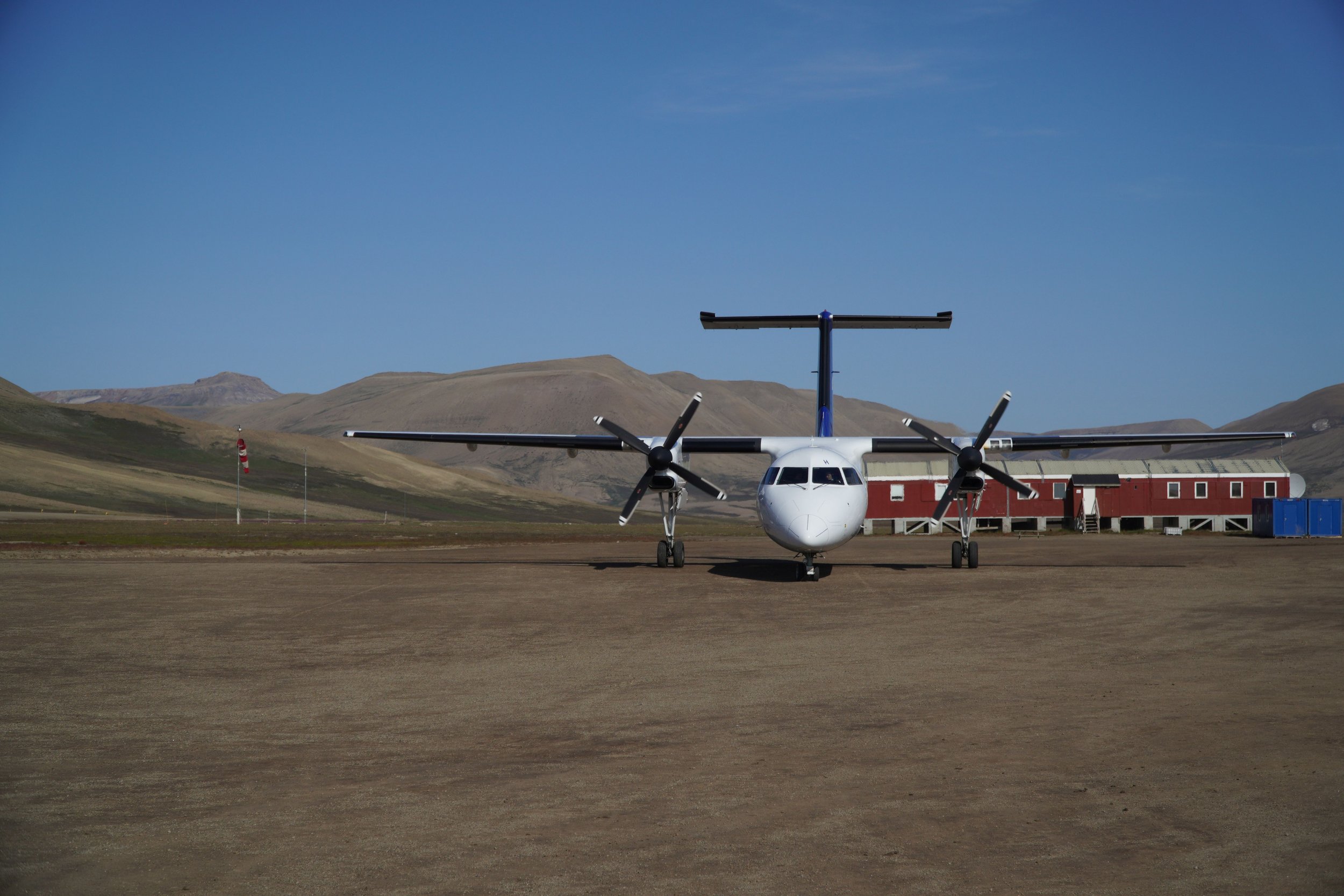
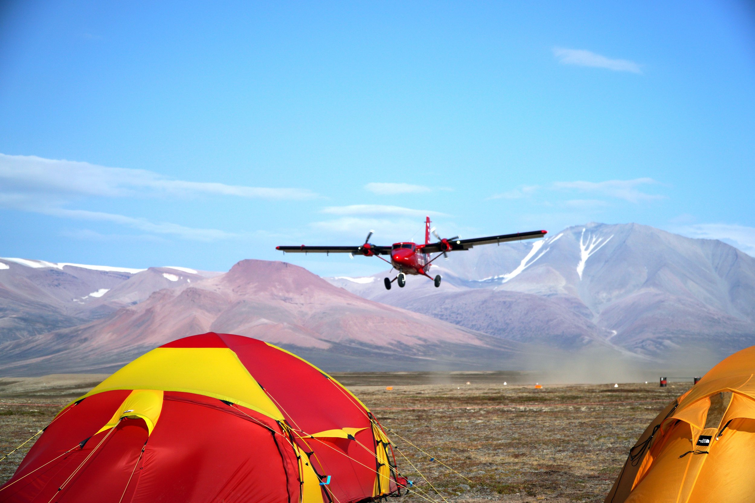
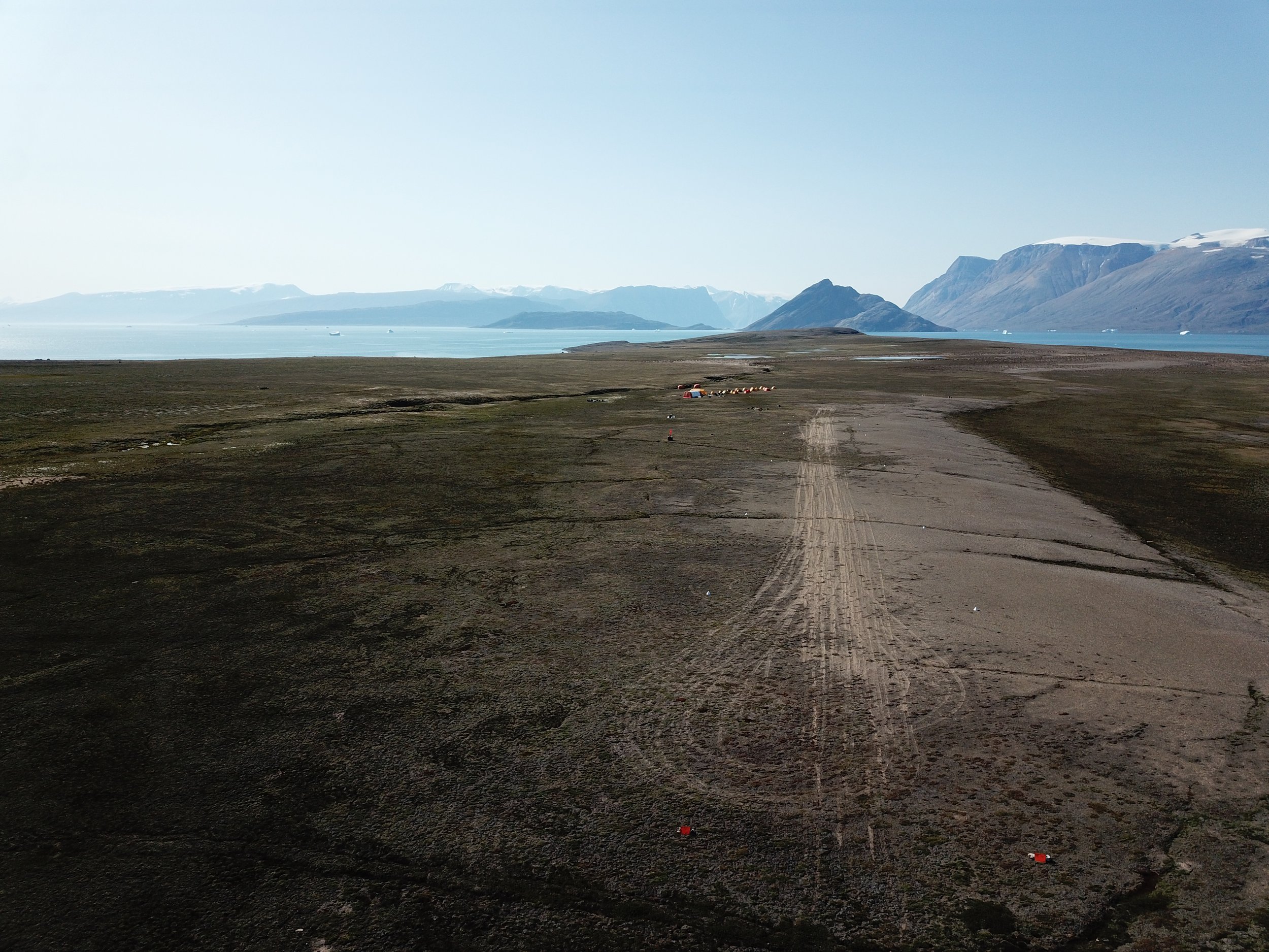
Many operations in the Arctic involve fixed-wing operations on improvised airstrips. Greenfields has direct experience in establishing, monitoring, and maintaining airstrips. Our Fixed-wing Operations playlist provides additional imagery of our activities.

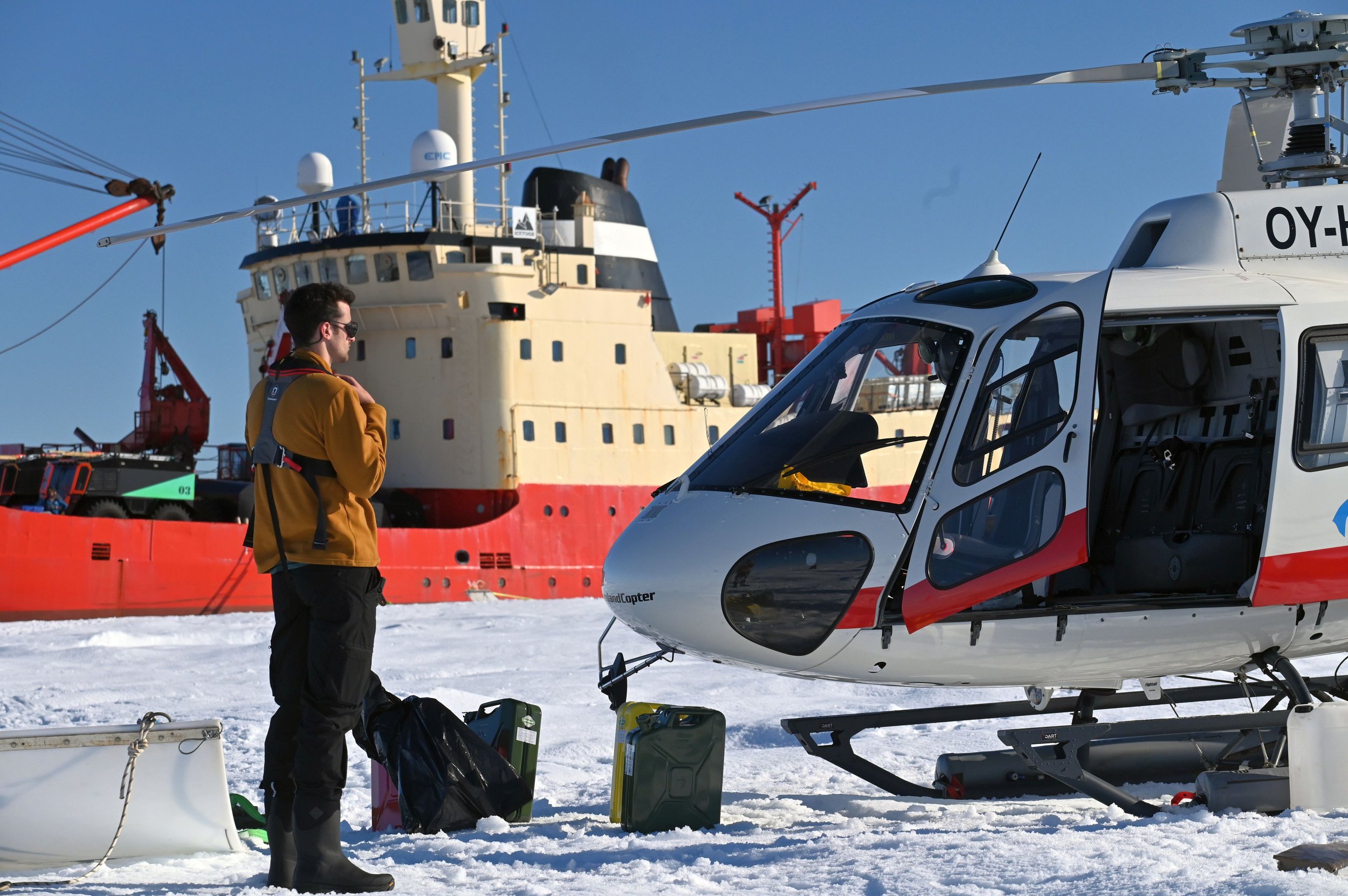
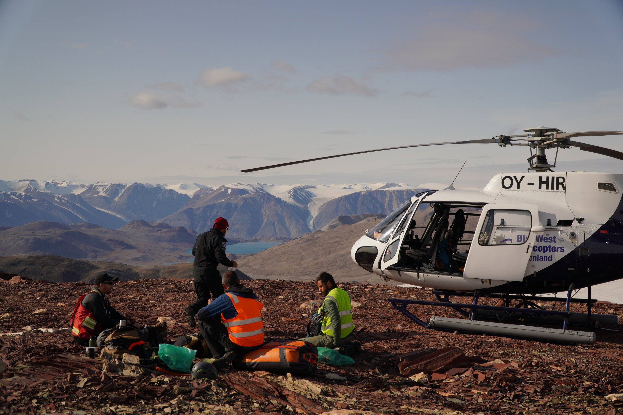
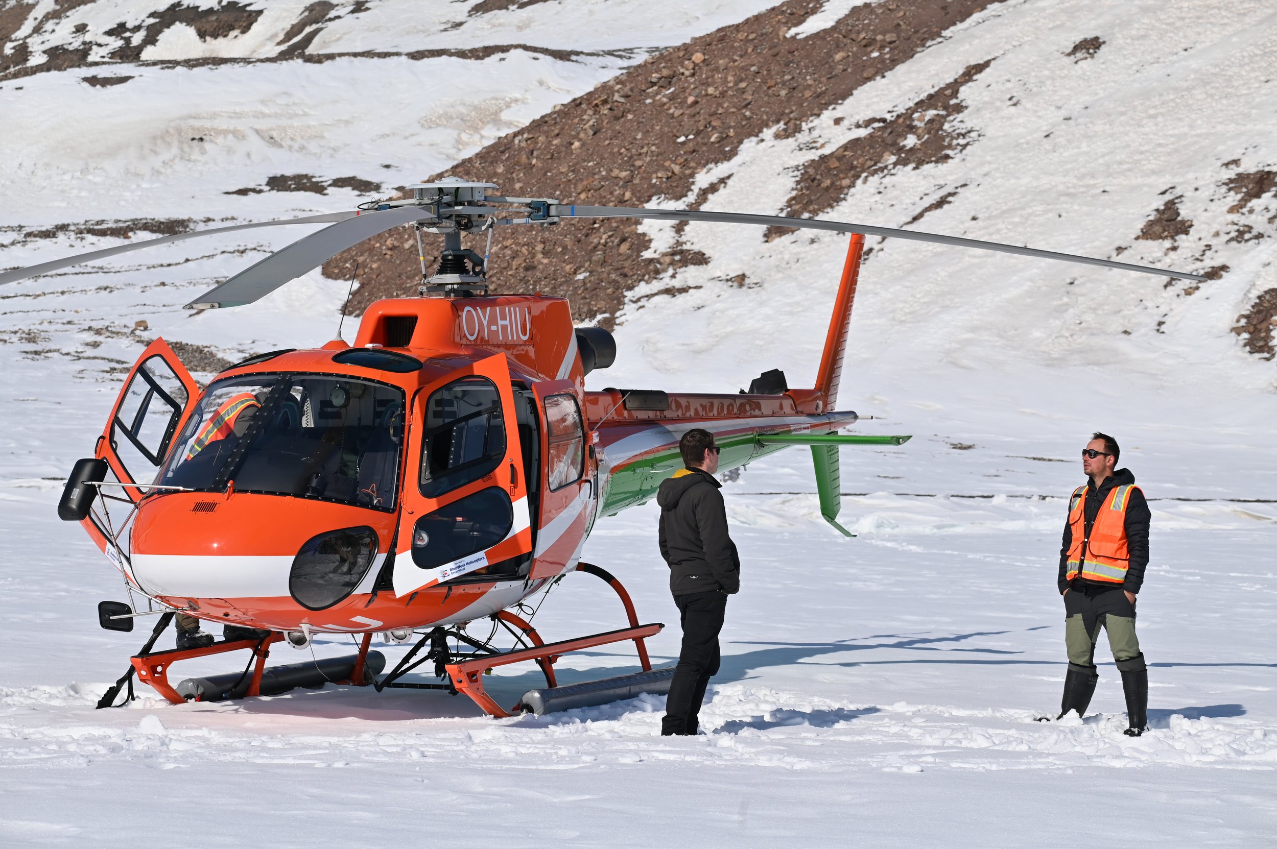
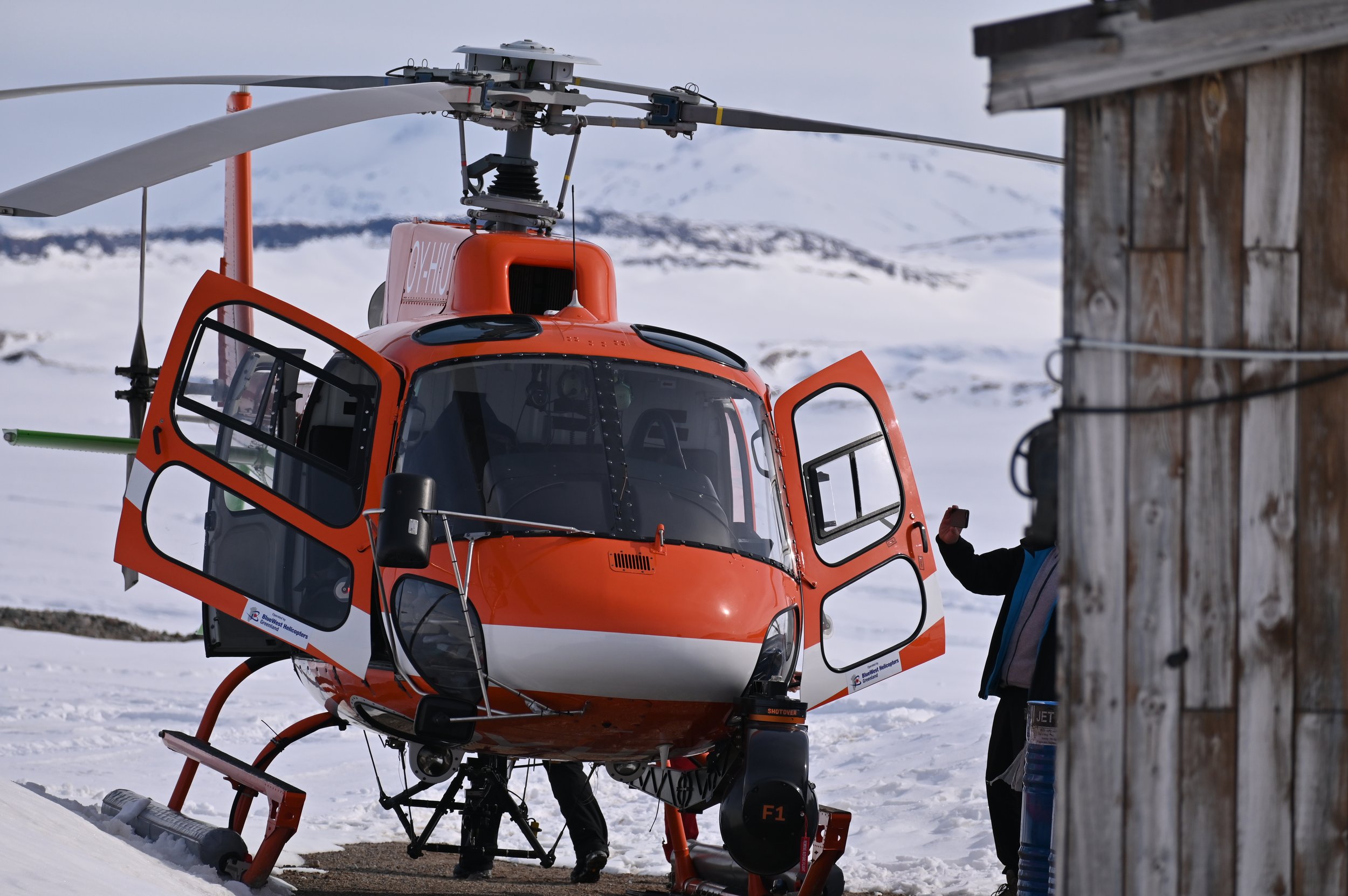
rotary wing aviation
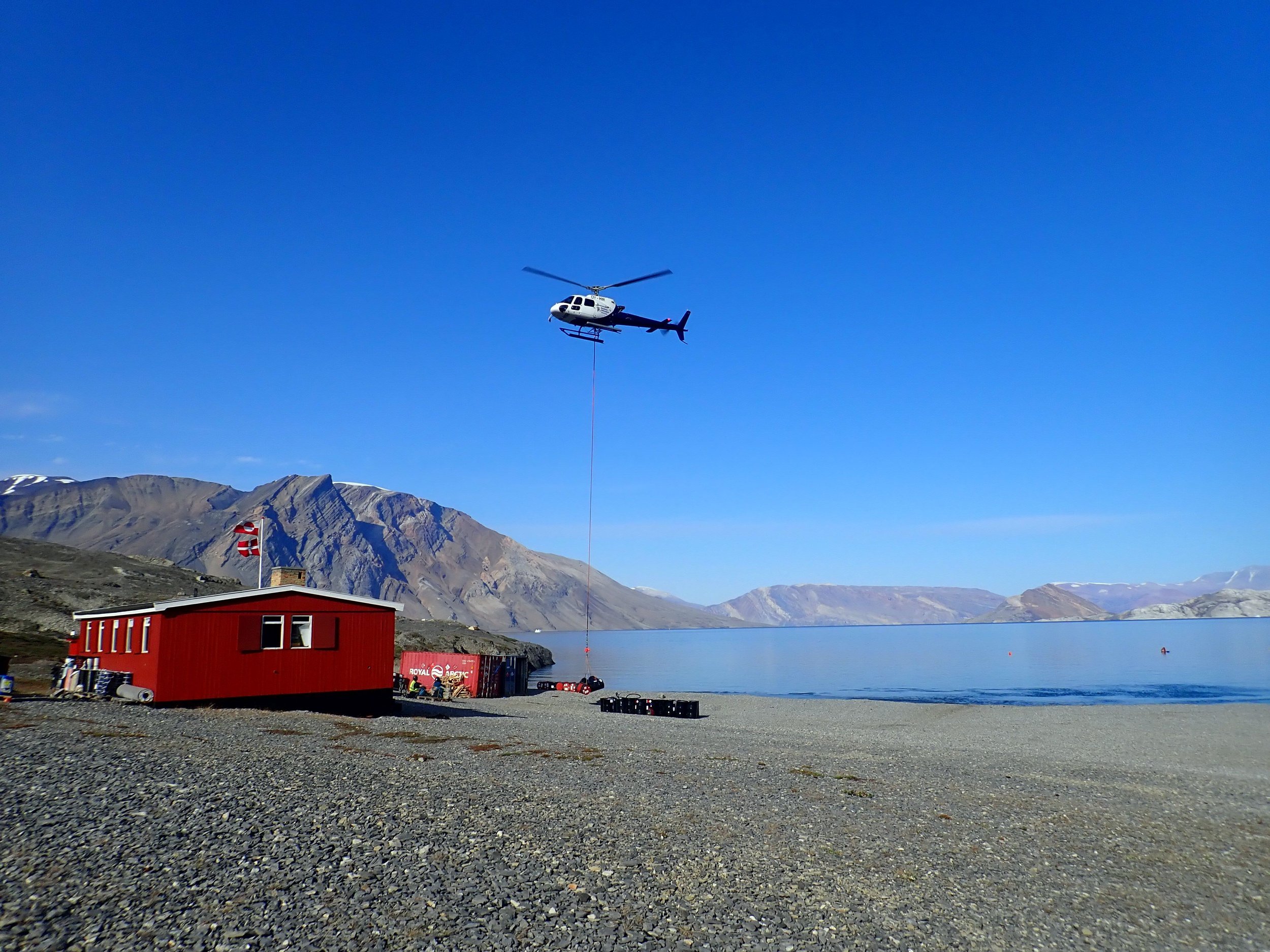
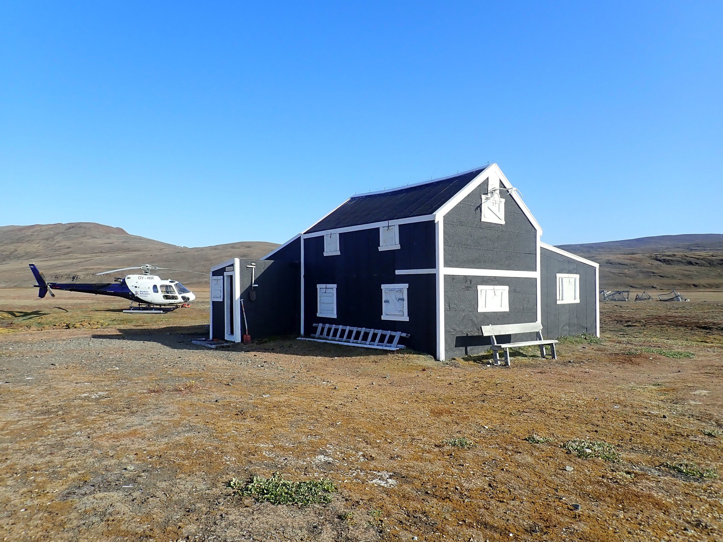
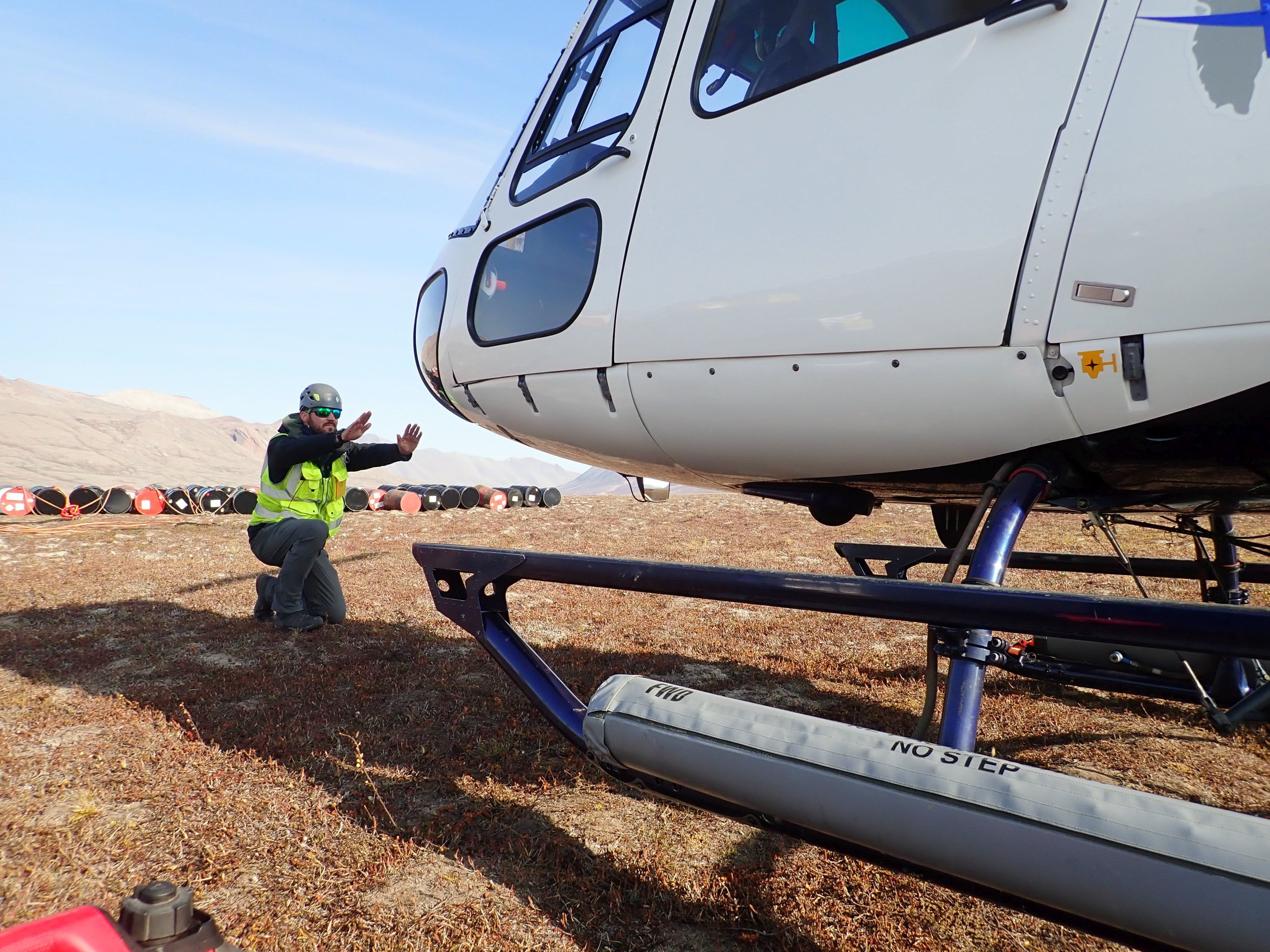
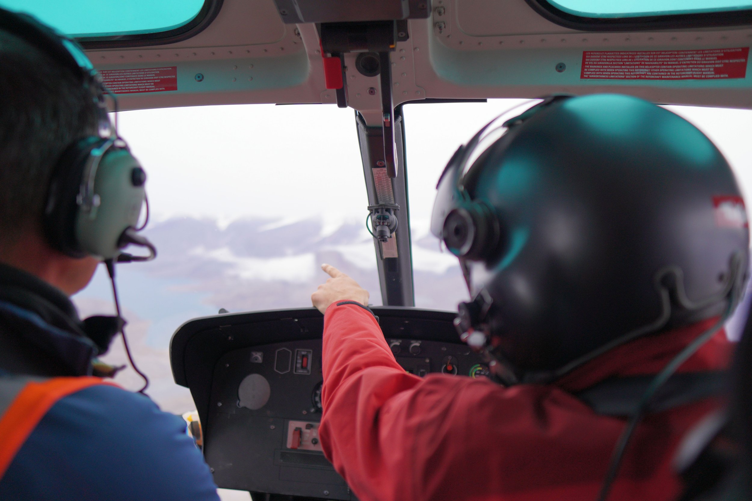
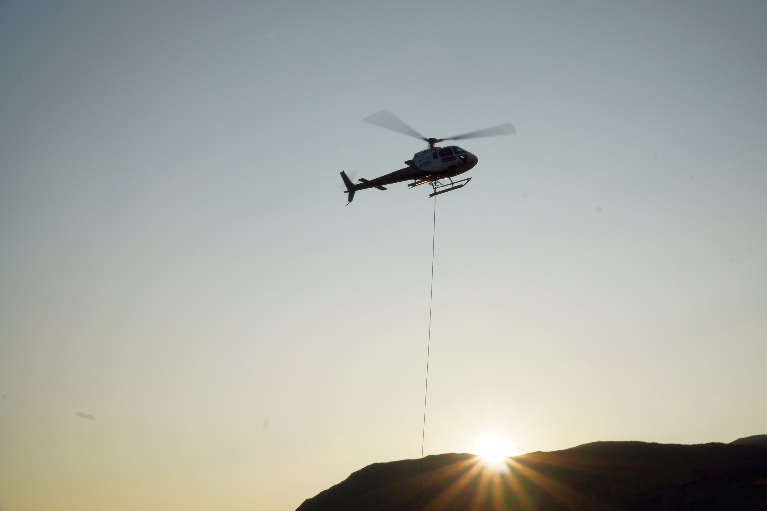
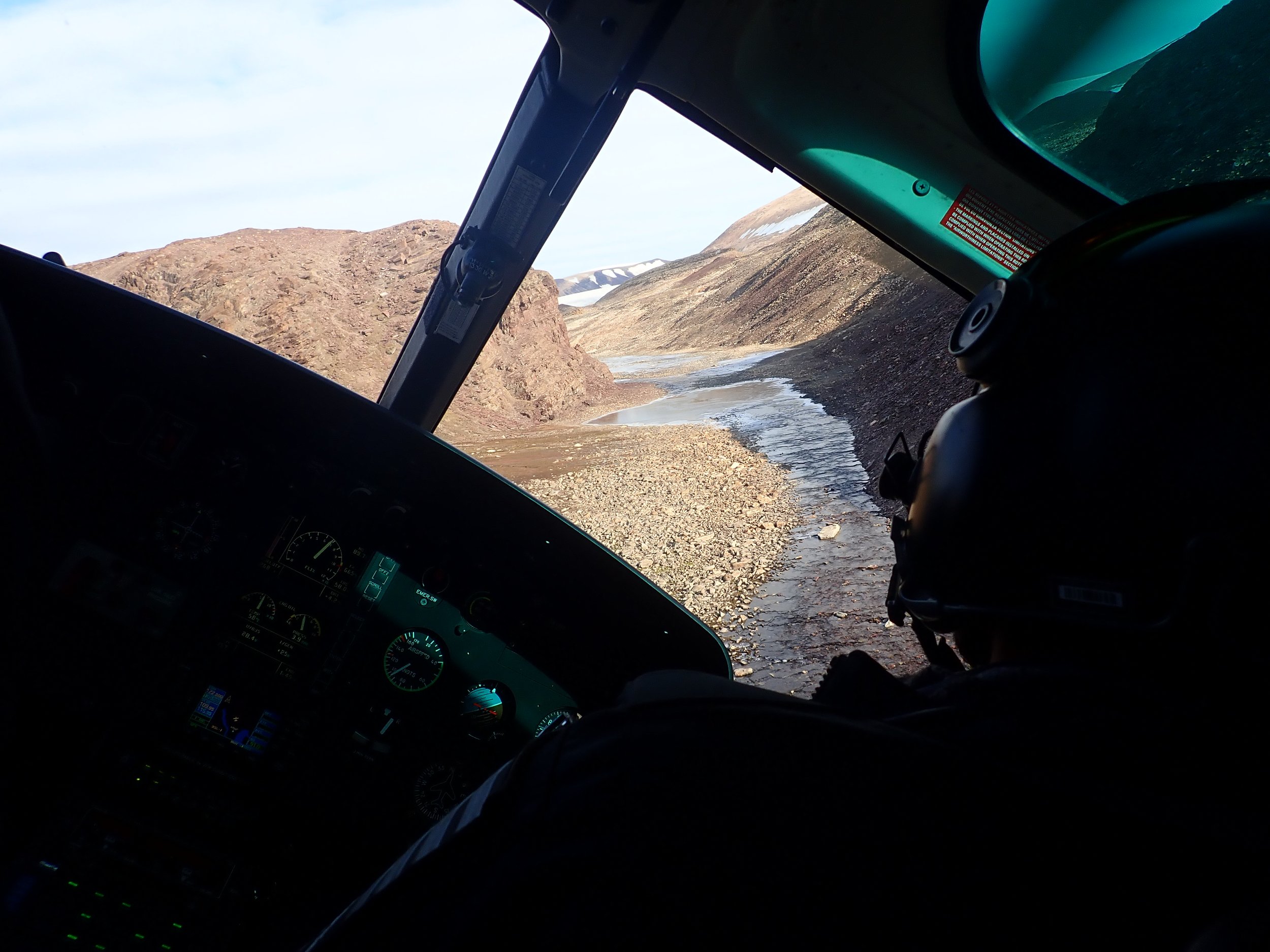
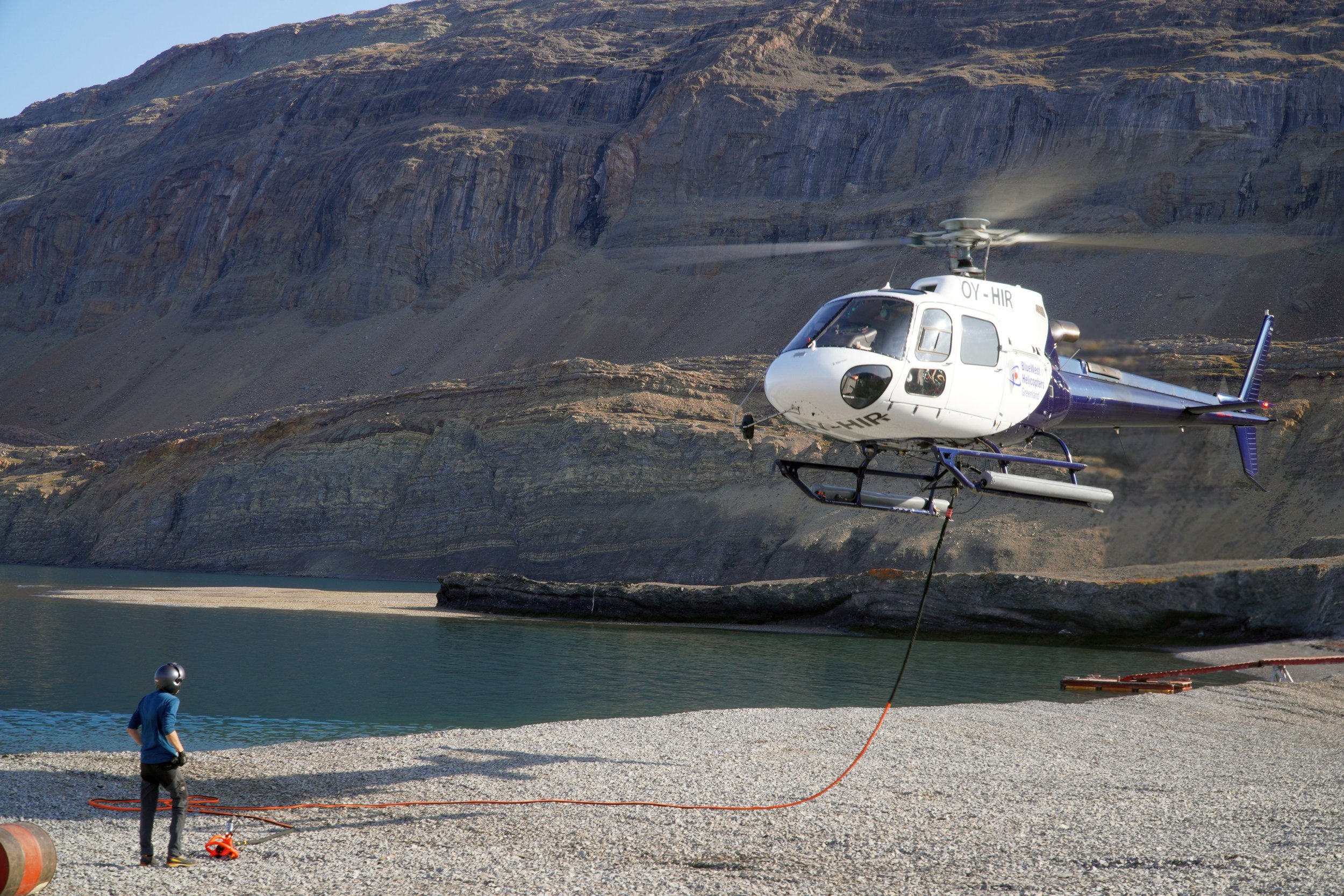
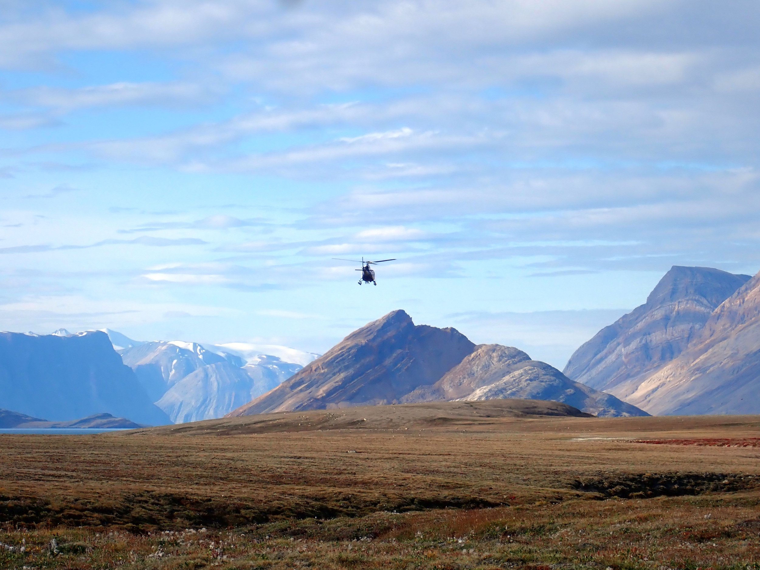
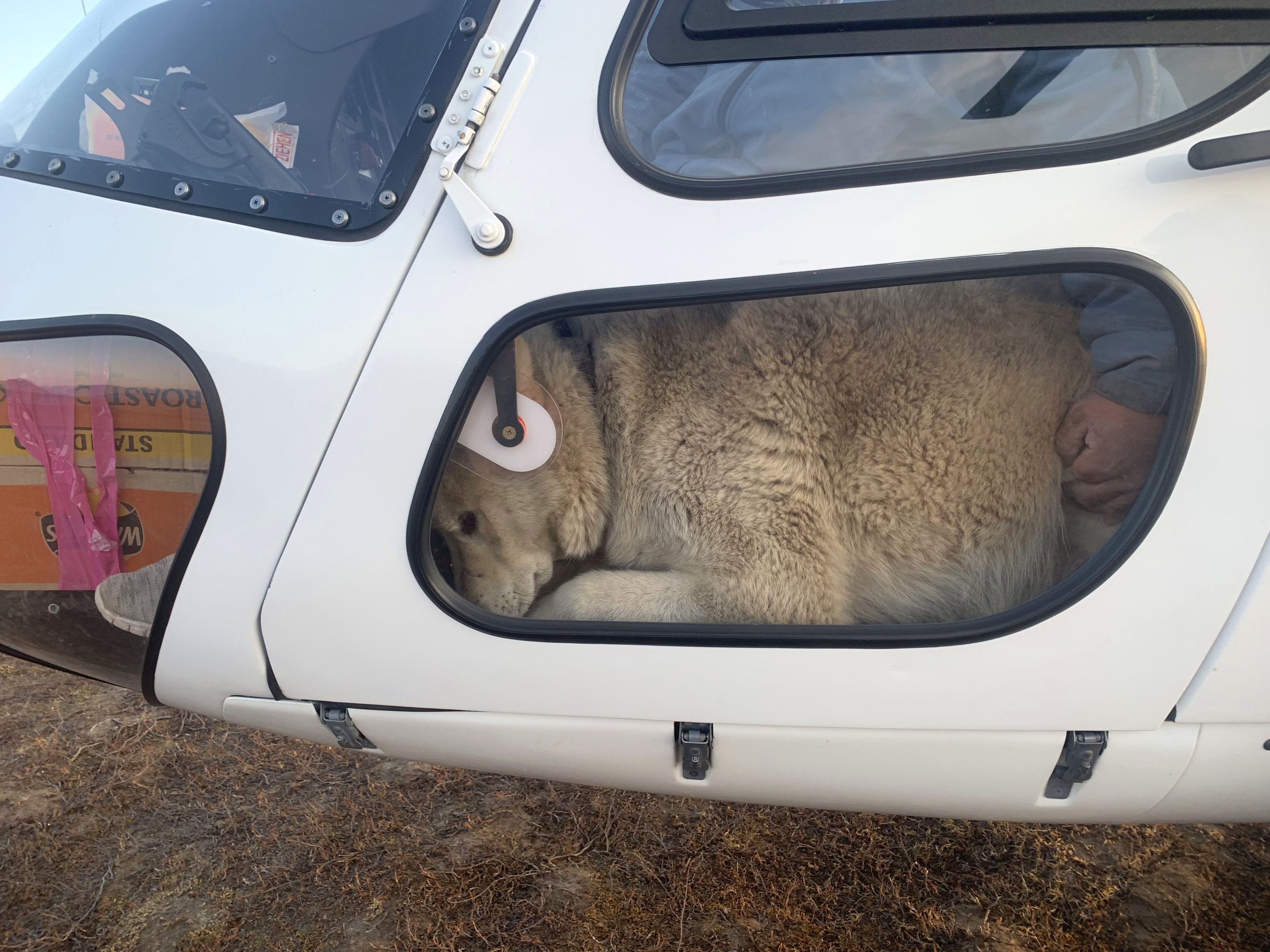
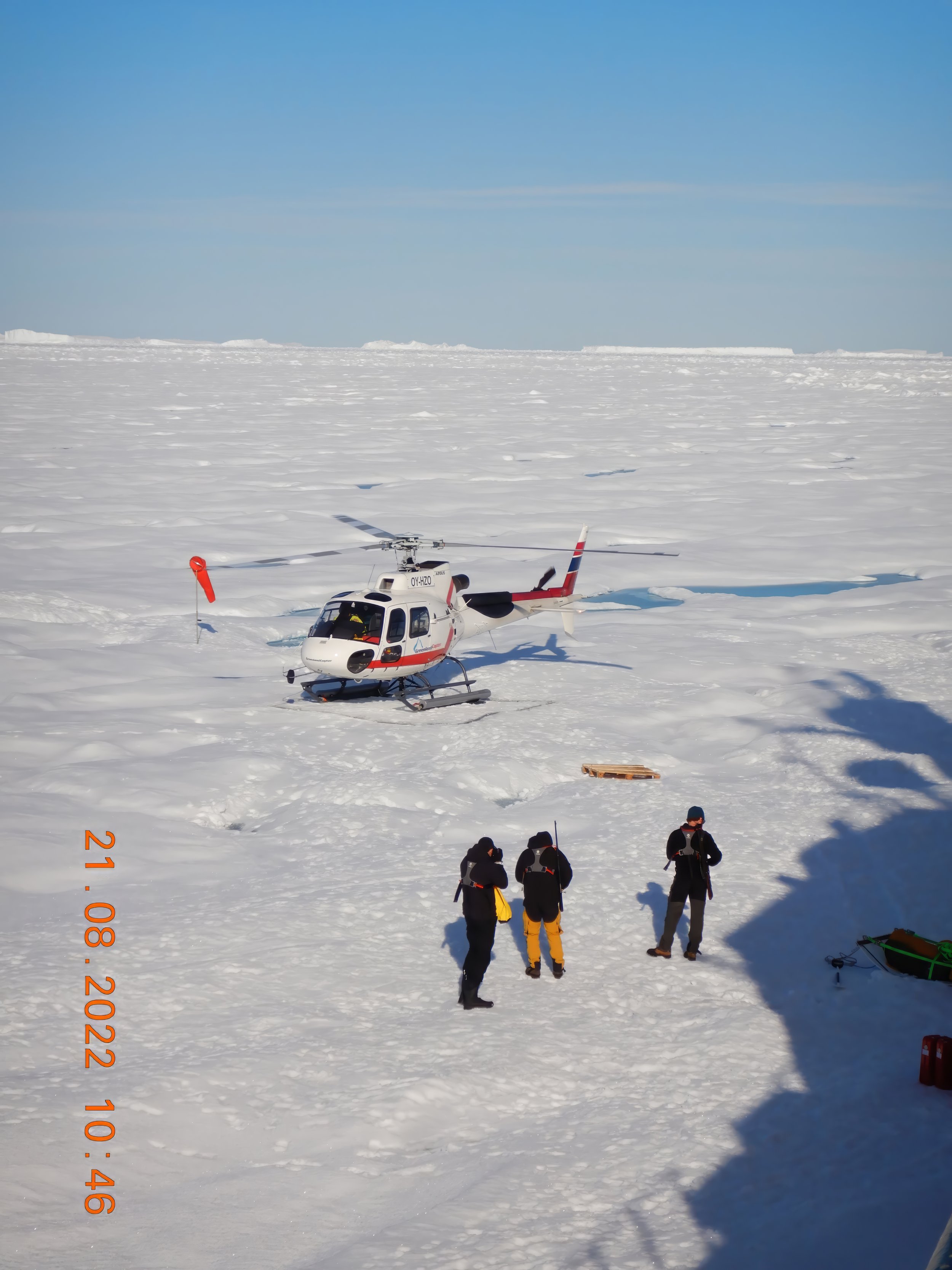
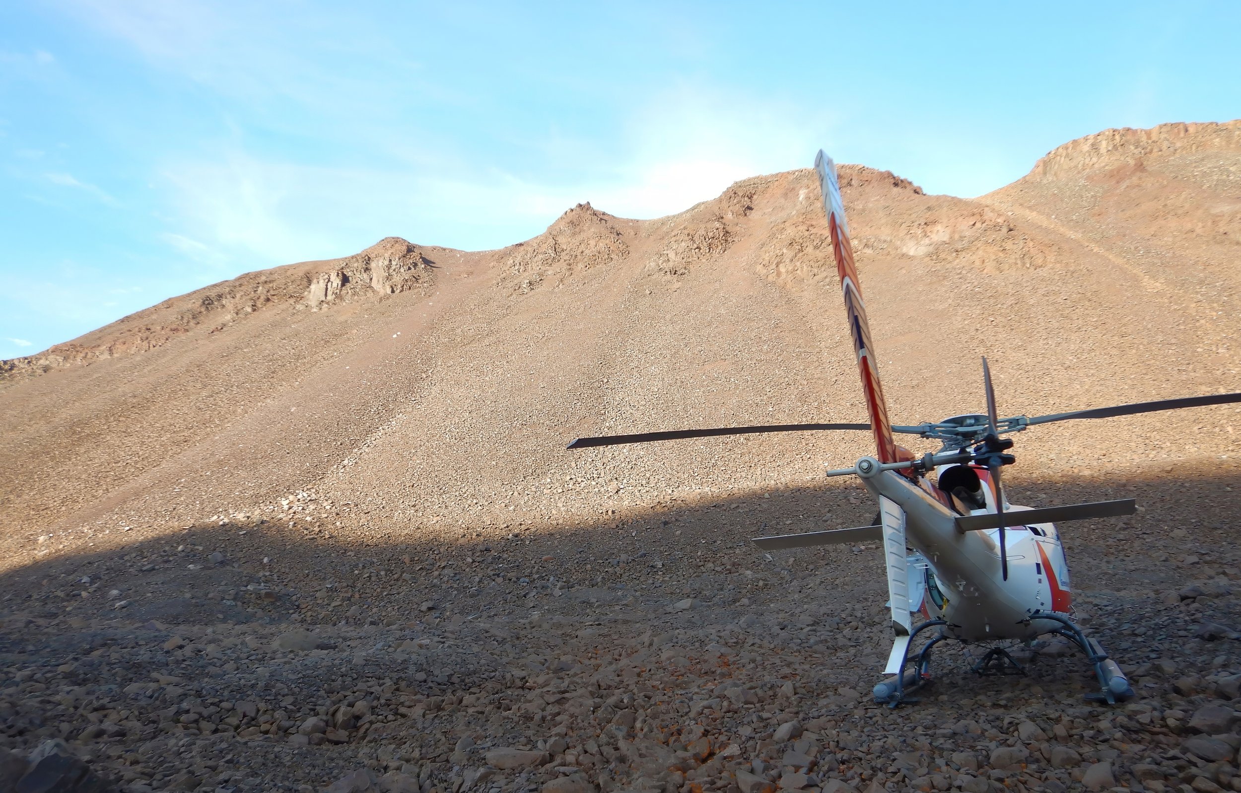
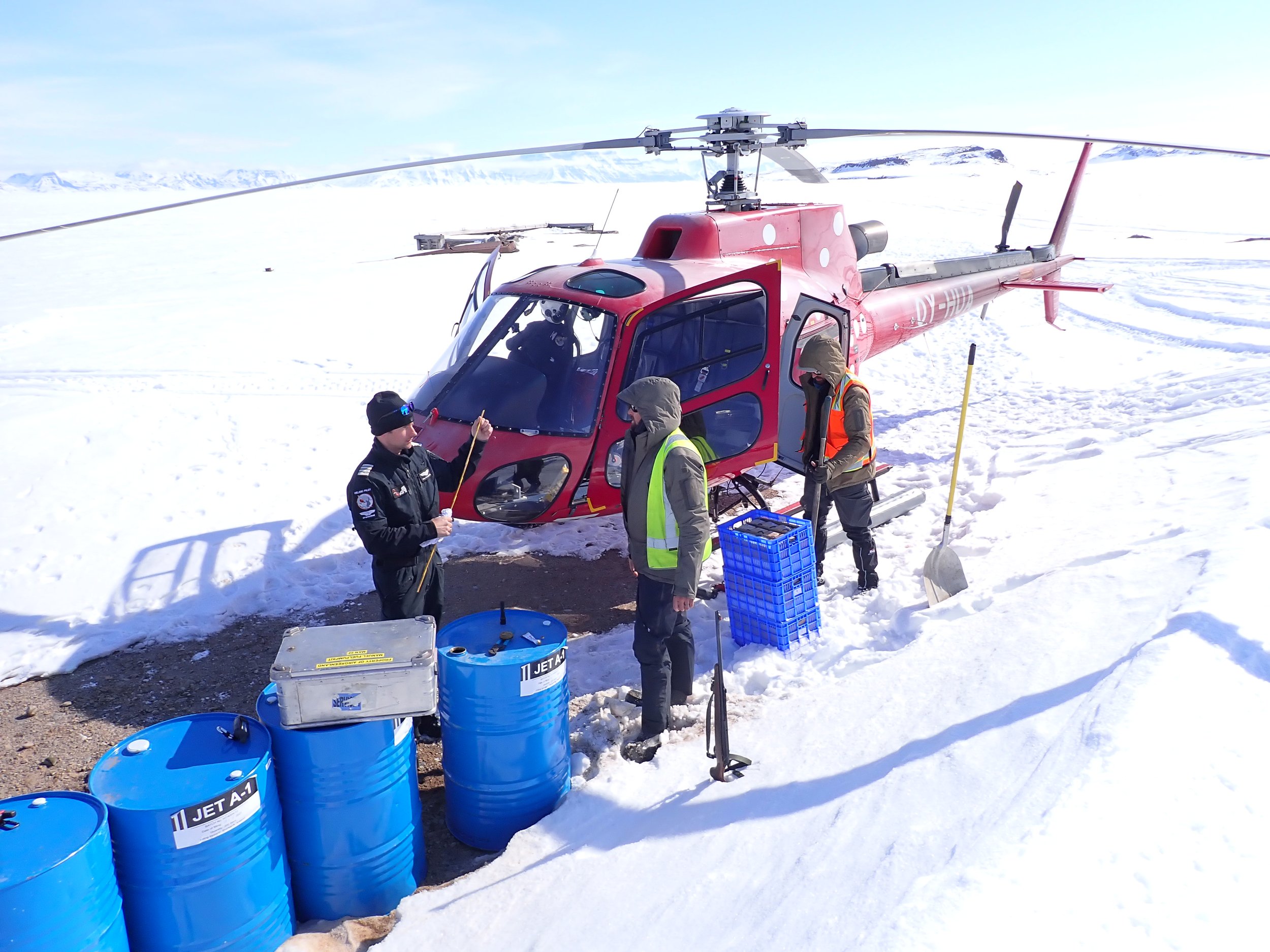
Helicopters form the backbone of nearly all Arctic operations. The versatility of these machines is unmatched, however they do require a higher degree of professionalism to be efficient while maximising safety. For this reason, Greenfields invests in giving its team members ground crew training, which is a significant step above the basic 5-minute inductions many other organisations provide their personnel. On completion, our ground crews can guide a helicopter to an improvised pickup location, and position personnel so that when the helicopter’s skids touch the ground, all are within the radius of the main rotor blades (sounds strange, but it is actually safer than the alternative).
Having advanced ground crew skills is fundamental to safety, as some locations don’t have suitable landing sites, or predetermined sites may become weather-affected. Greenfields has used these skills to rapidly avoid encroaching fog that would have stranded a team in the field for days, establish new pickups when inclement weather rendered a mountain-side pickup dangerous, perform toe-in landings (helicopter remains hovering) due to steep slopes, operate from ships and use sea/fjord ice as helipads.
For additional footage of our helicopter operations, look at our Helicopter Operations playlist.

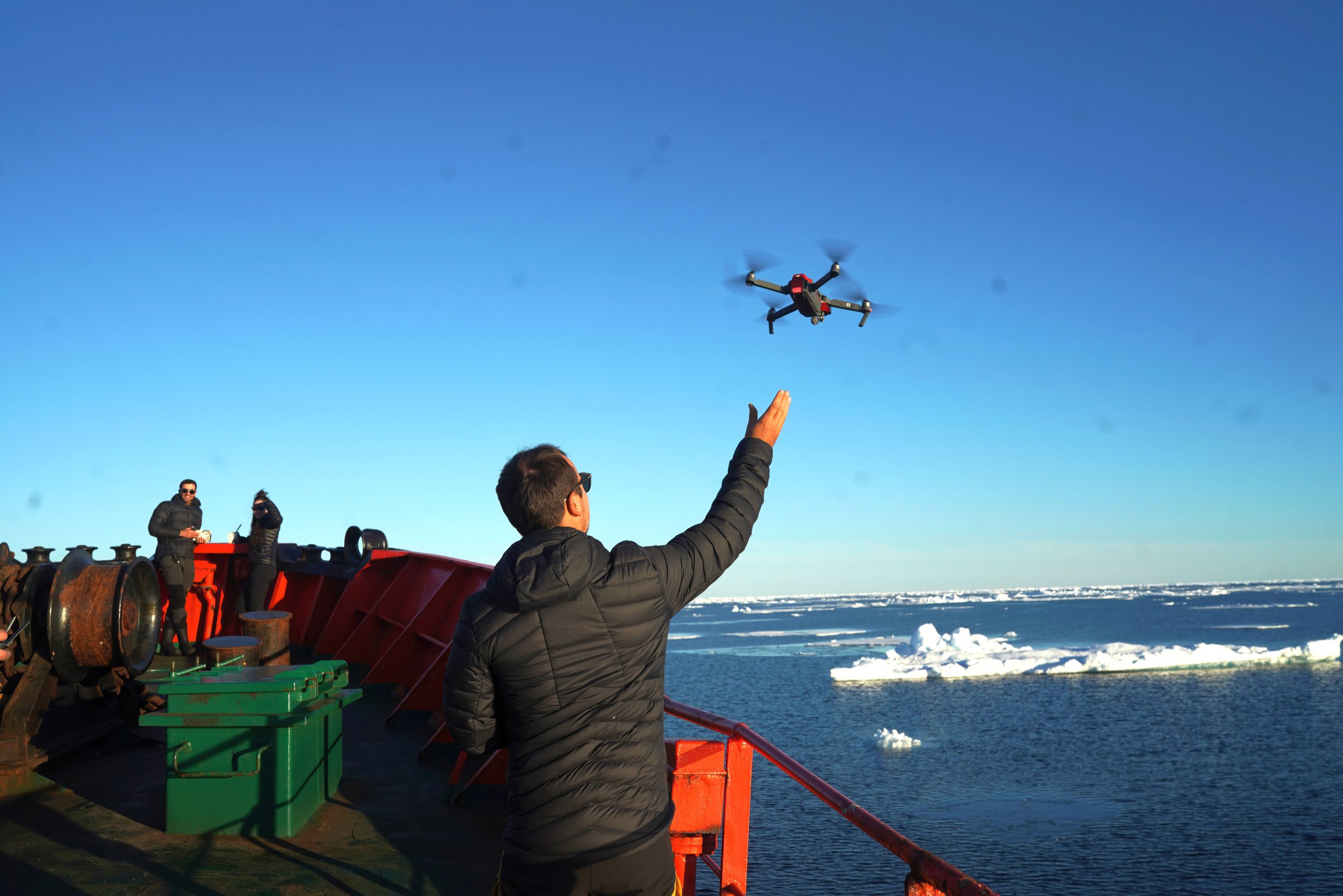
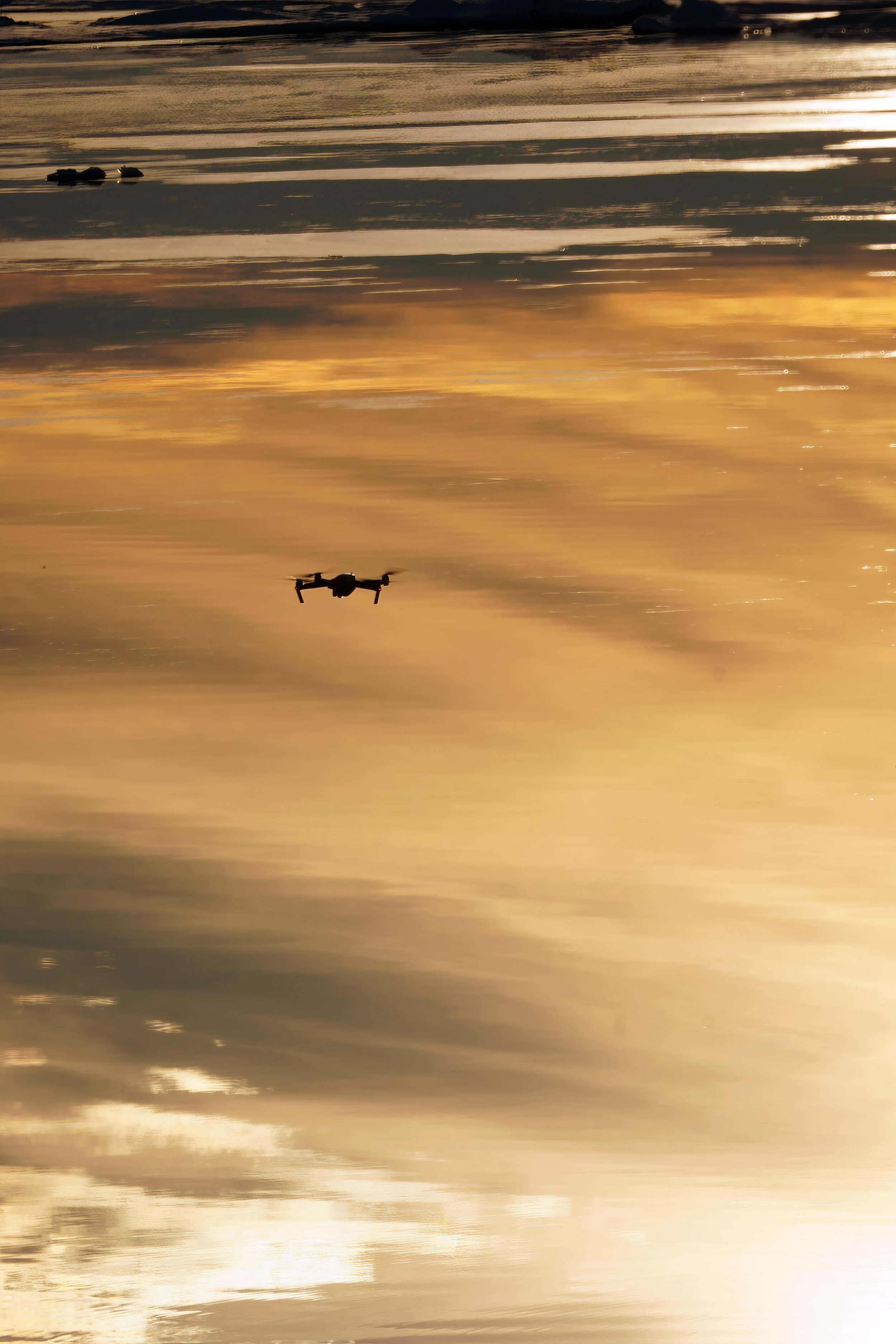
rEMOTELY PILOTED AIRCRAFT (DRONES)
Hand-portable drones are standard issue in all our operations, and often we deploy survey-quality drones to enhance the data capture.
Northeast Greenland is serious, big country with next-level mineral potential. Operating here requires more use of binoculars and drones than it does of hand lenses. Being able to step back from where the geologists are standing provides an important perspective to understanding the rocks they are standing on. Our drones are also used to investigate inaccessible locations and for logistical purposes such as surveying ice conditions ahead of our Sherp or ship.
Drone imagery can be invaluable not only for complementing hand-made geological maps, but also for creating Digital Terrain Models (DTM) and enhancing corporate memory. As COVID has demonstrated, sometimes it’s impossible to return to a location for years, which could lead to small, but significant features being forgotten.
Poor GPS connectivity means standard drones often lose satellite lock, rendering DTM surveys useless. Greenfields takes the extra step of establishing a base reference station (‘RTK’) to eliminate the reliance on satellite connectivity while increasing the survey precision to as low as 15cm accuracy. Small details like this make the difference between mission success and failure.
Imagery of our drones in action and their outputs are available on our RPA Operations playlist.
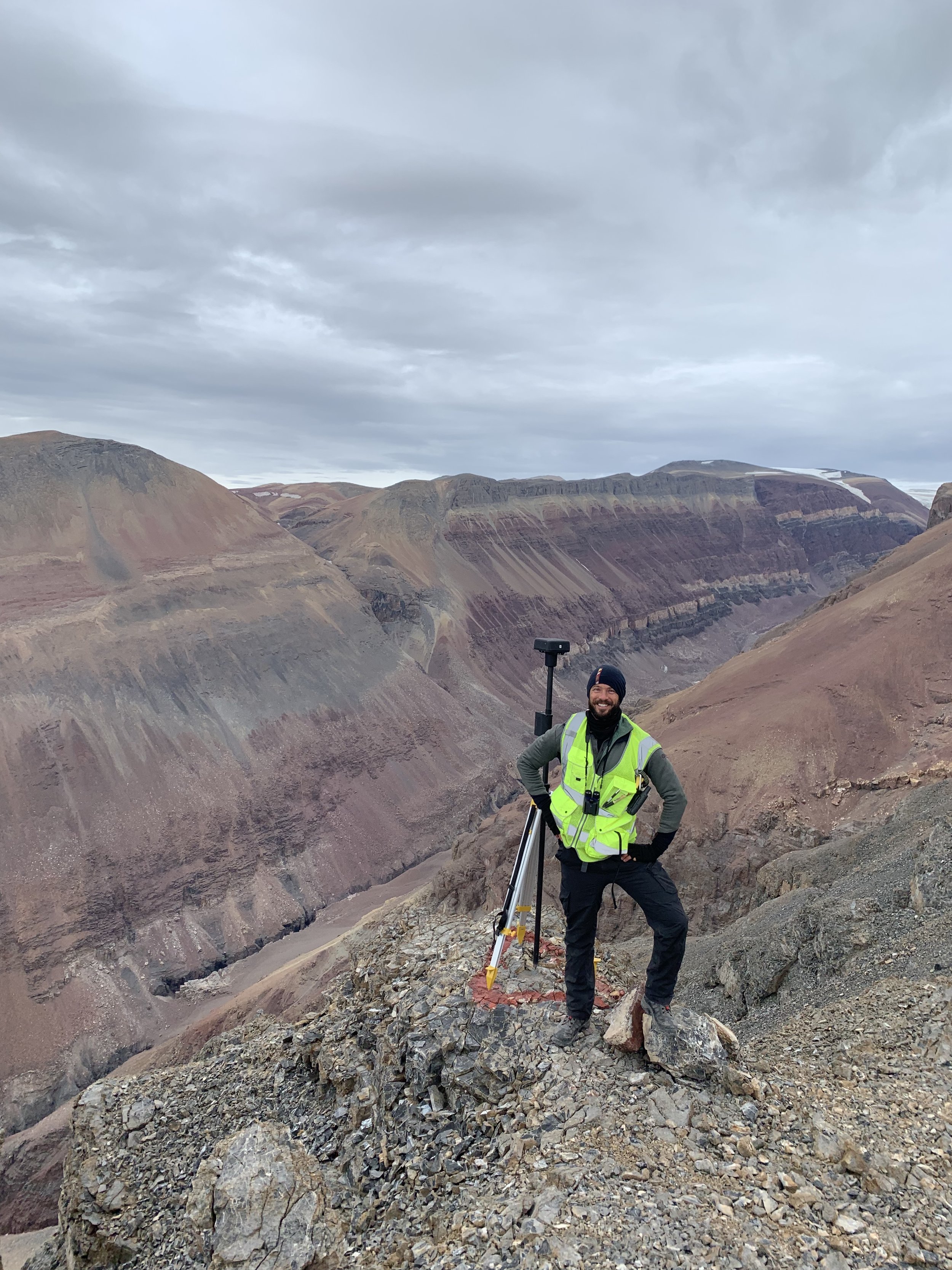
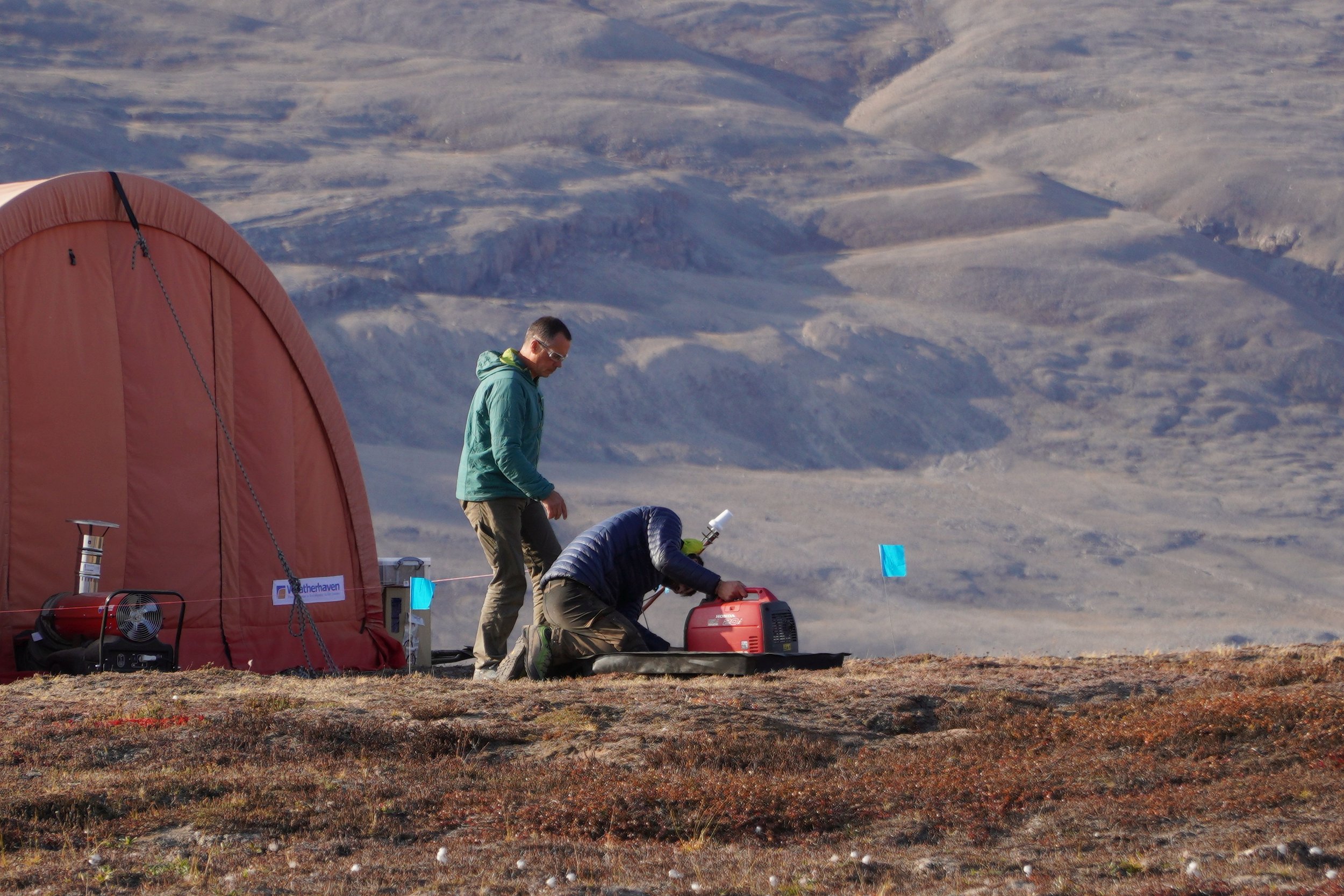
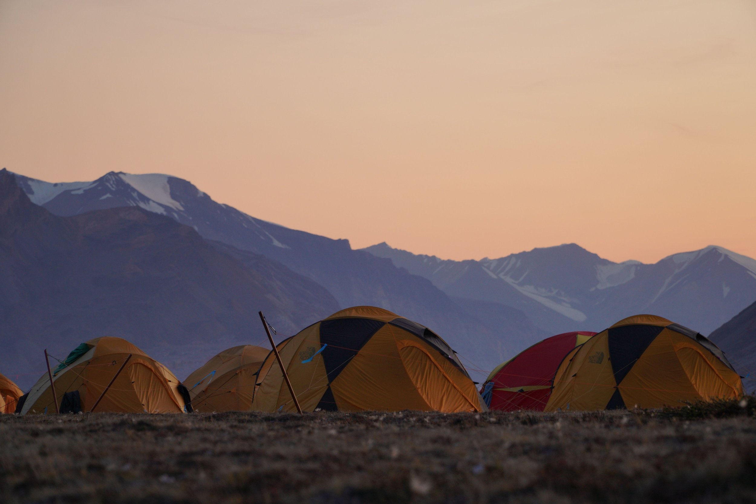
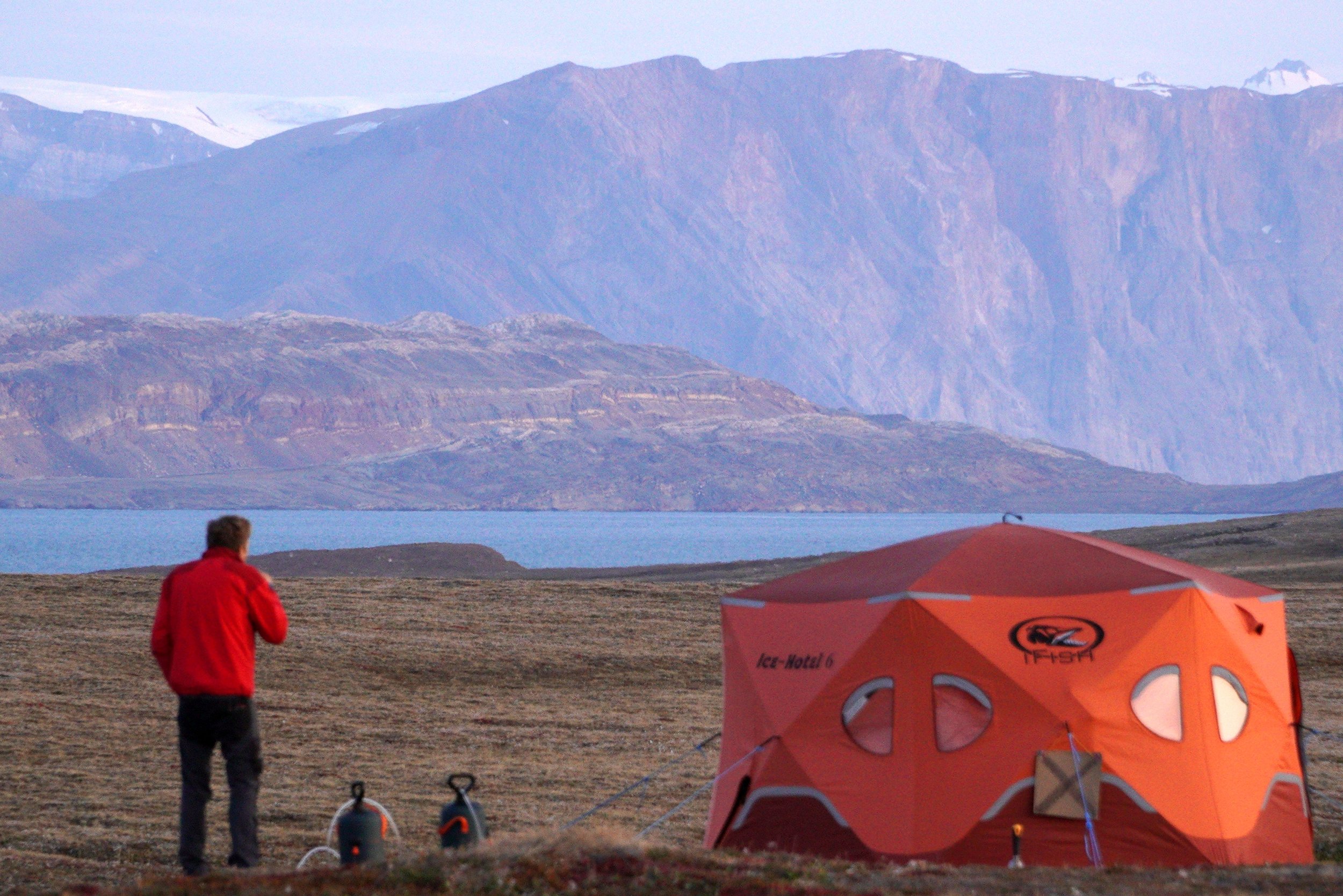
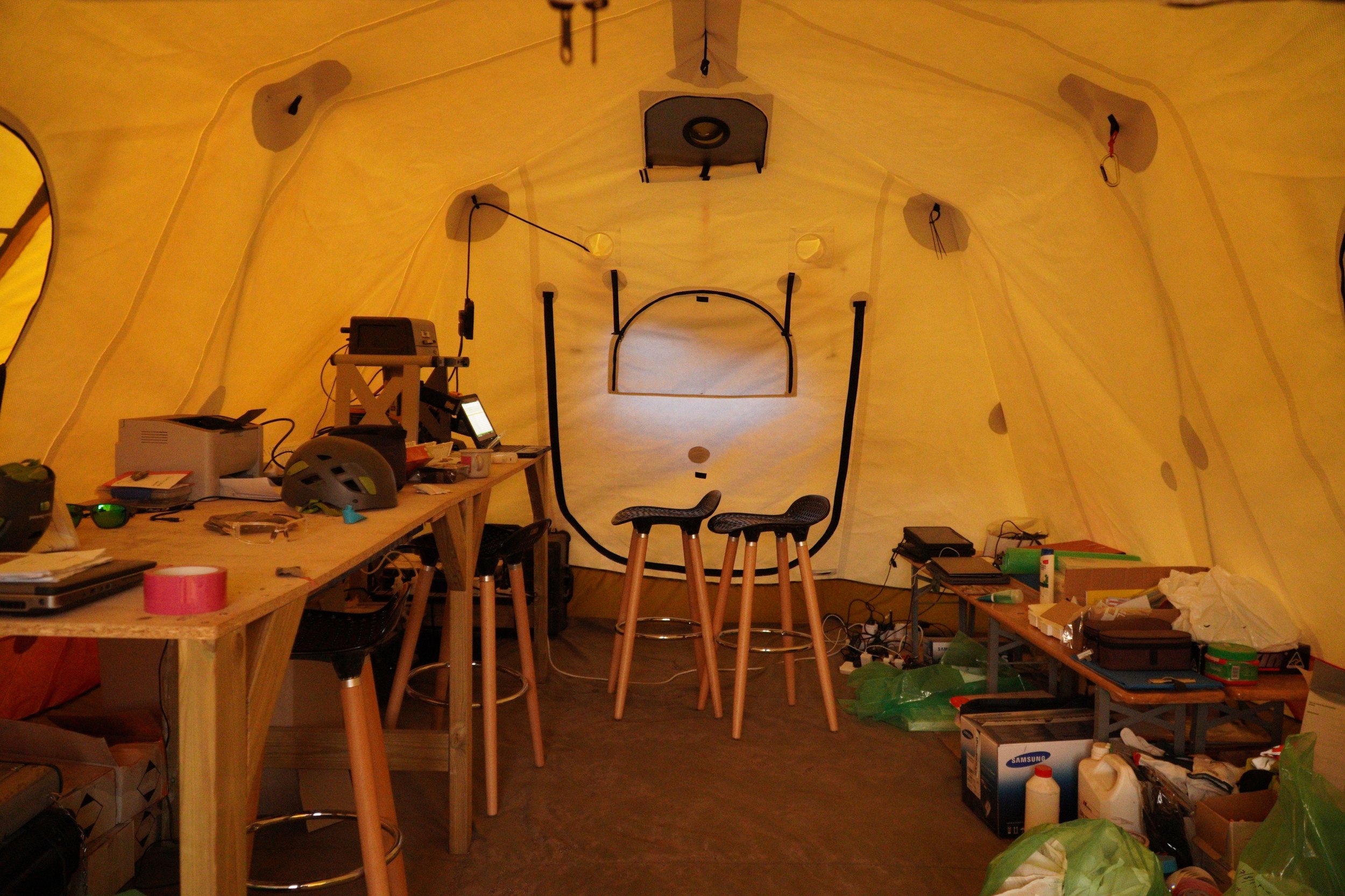
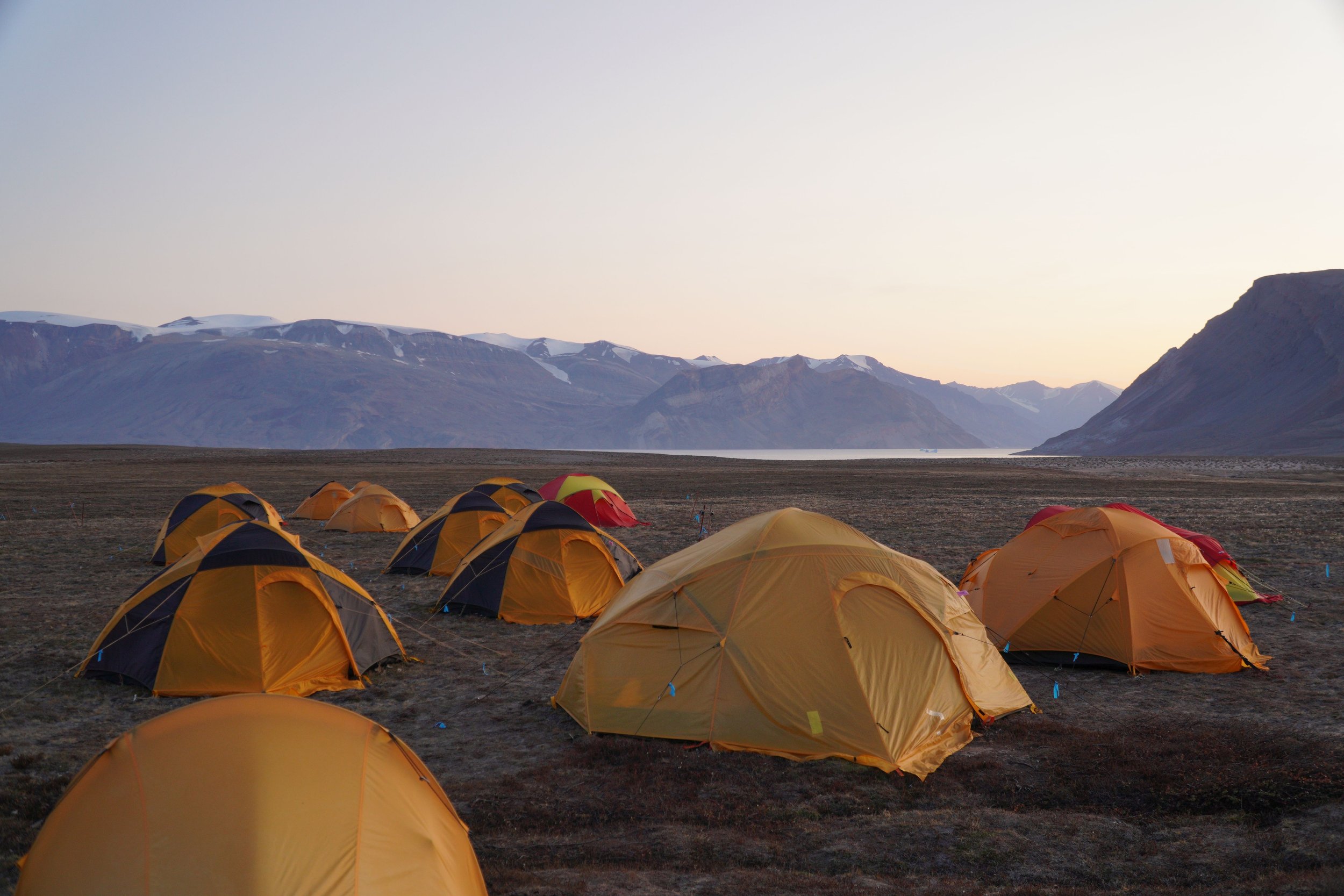
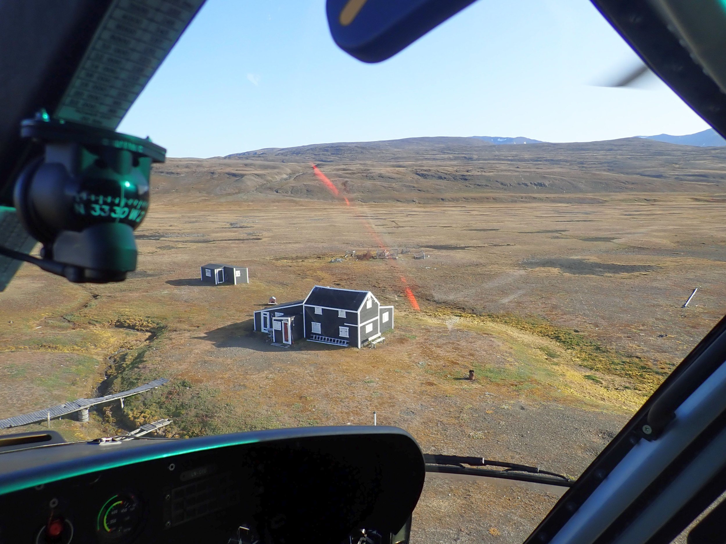
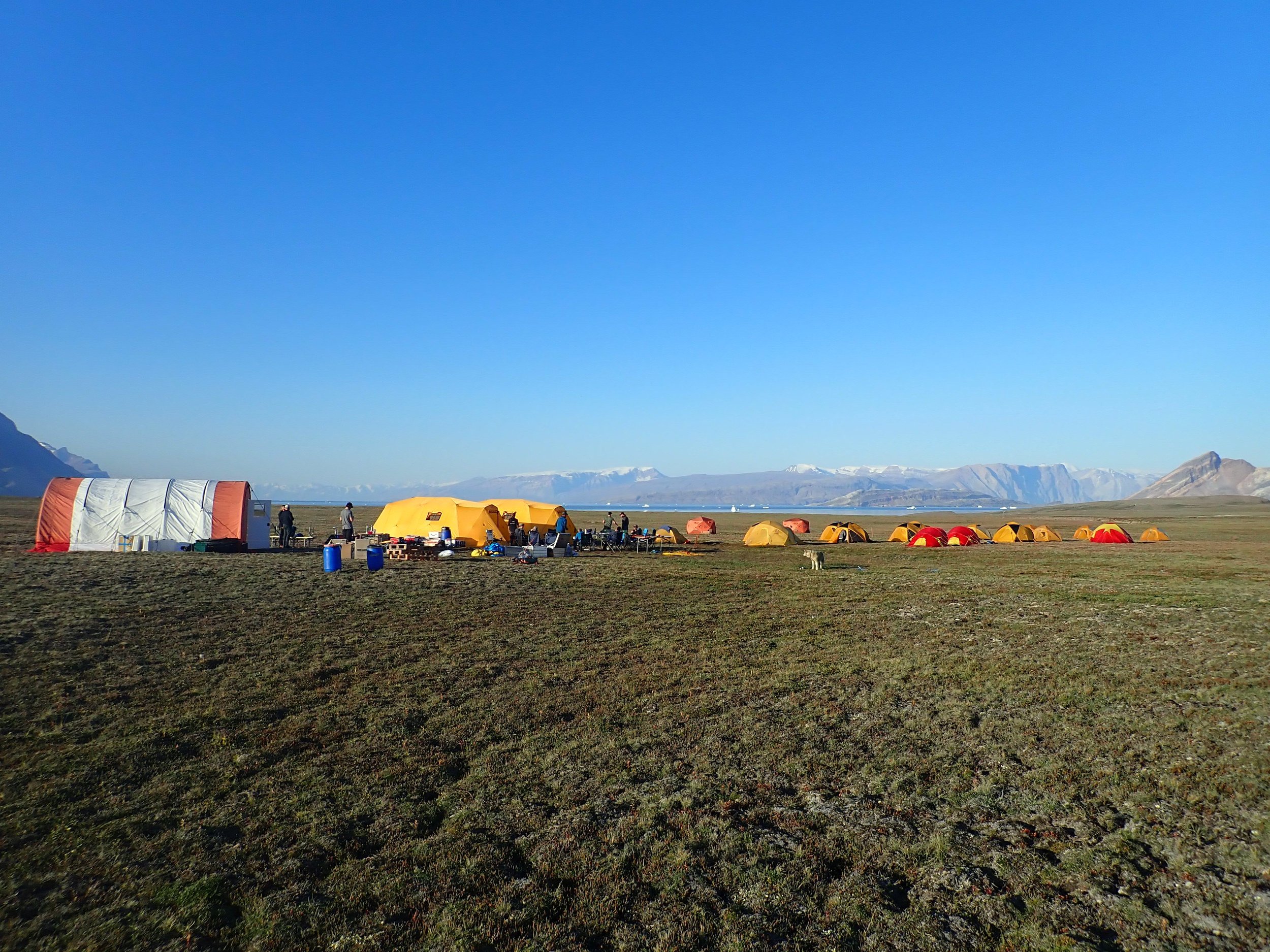
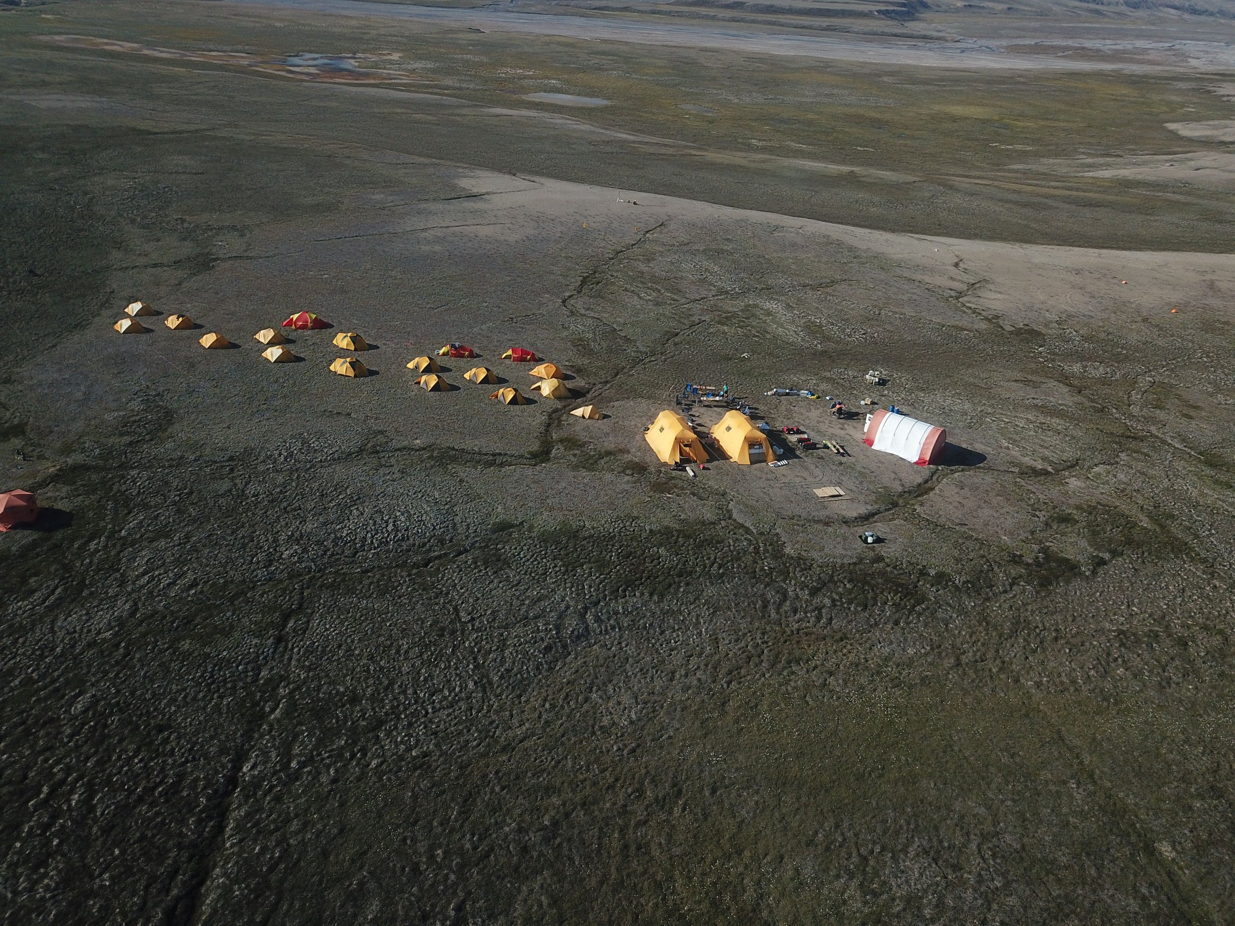
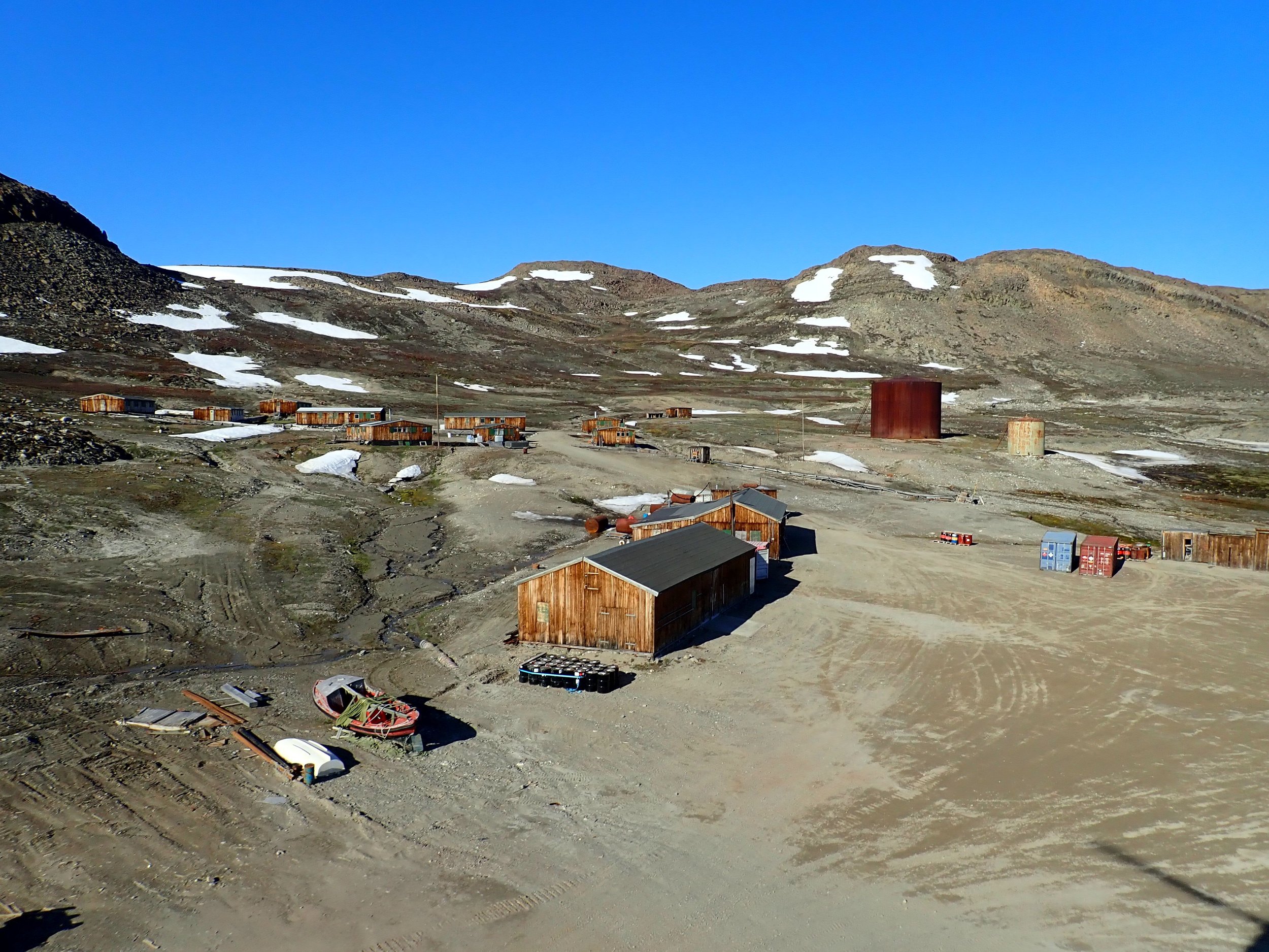
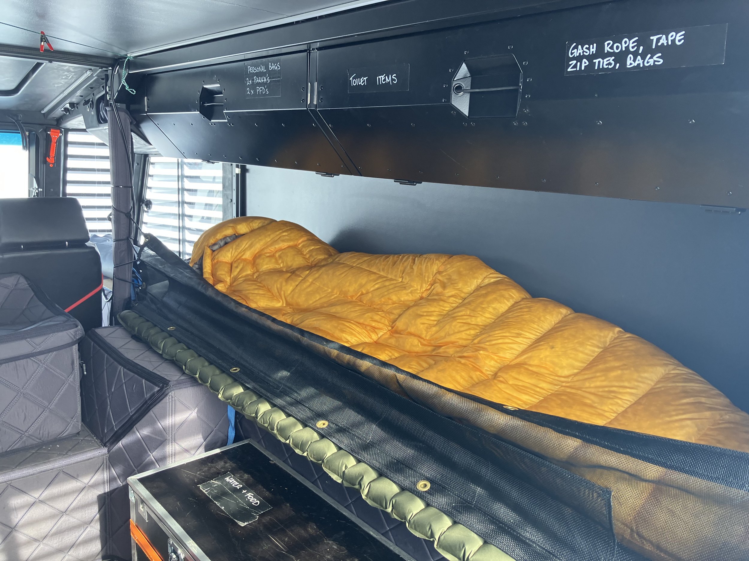
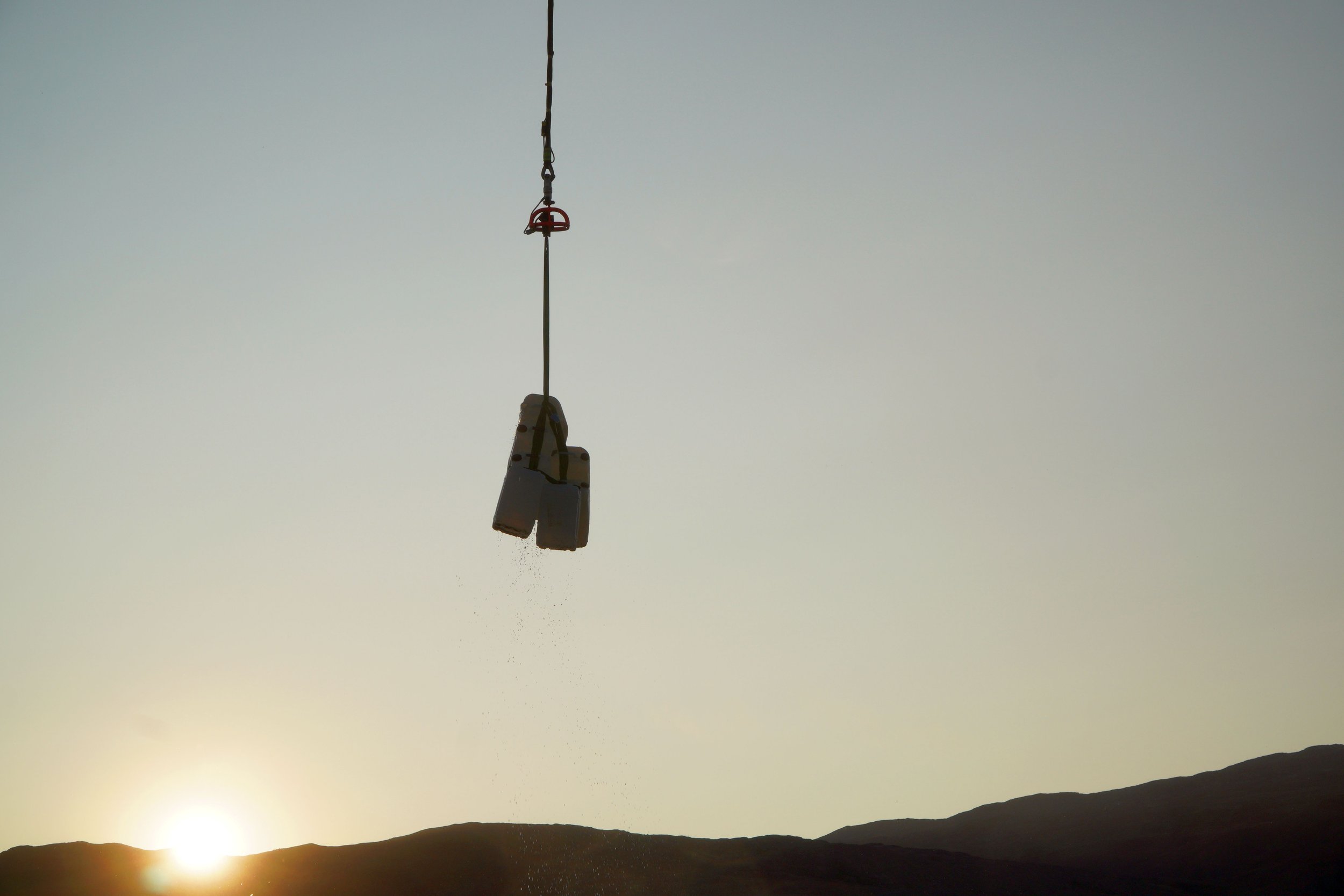
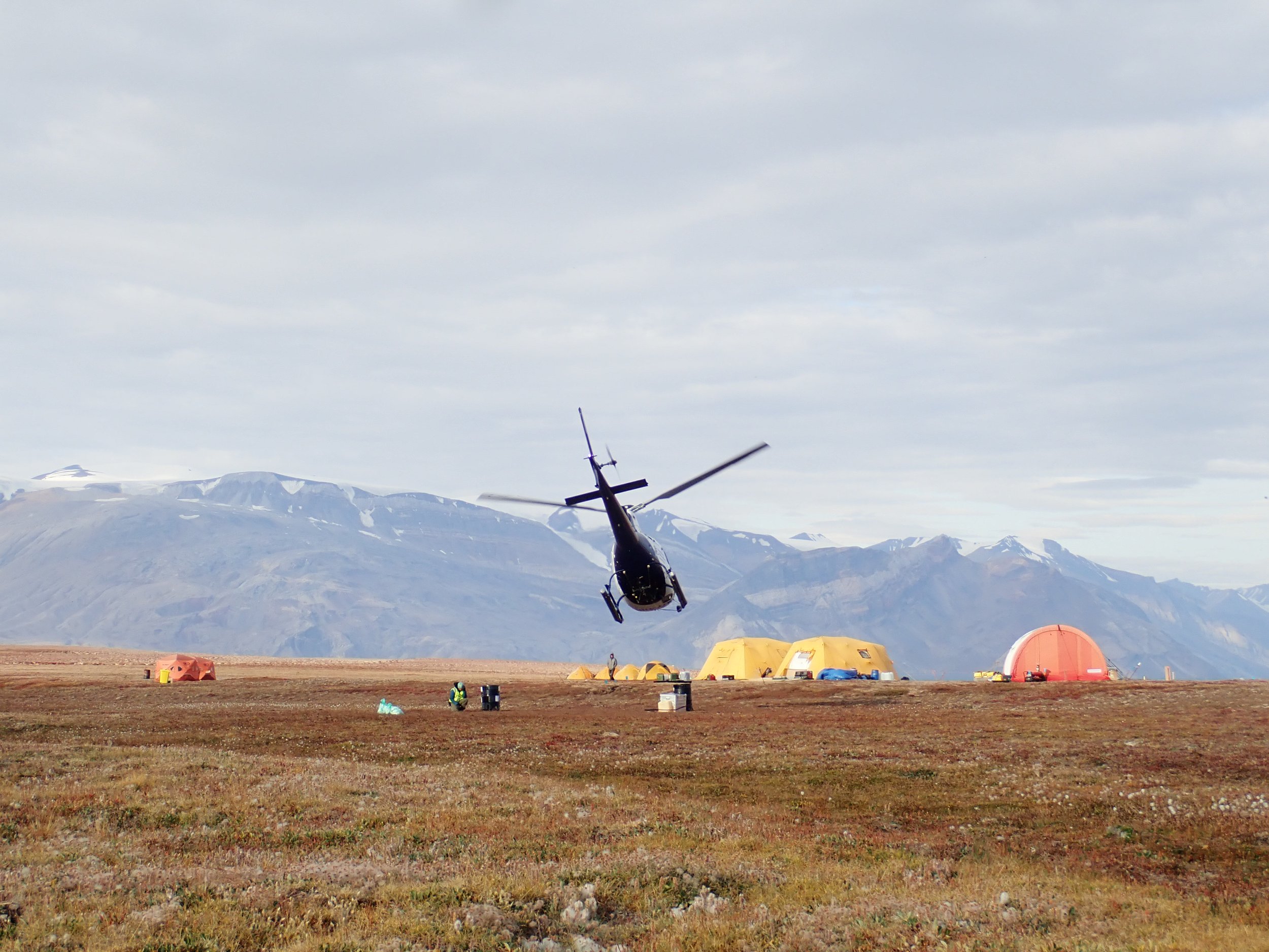
Basecamps
All of Greenfields operations are extremely remote. Our campaigns and expeditions require a high level of autonomy, including establishing basecamp. Sometimes we can use existing infrastructure such as century-old cabins, in other cases we use soft-camps, and when in expeditionary mode we use our Sherp. Establishing basecamps is significantly different to the hobbyist camp, as our professional camps have consideration on dedicated medical facilities, satellite communications, scientific laboratories, bear and catastrophic wind risk mitigation, emergency response, resupply, hygiene and waste management - what we bring into the field comes out, including human waste, and if we find someone else’s rubbish, we take that too.